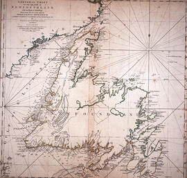
Chart of the Island of Newfoundland
- MS-2-756, OS Folder 7
- Item
- 1775
Part of The Pullen Map Collection
4 results directly related Exclude narrower terms
Chart of the Island of Newfoundland
Part of The Pullen Map Collection
Edward J. Mullaly Map Collection
Mullaly, Edward J.

Karte von dem Ostlichen-Stucke von Neu Frankreich oder Canada
Part of The Pullen Map Collection
Bellin, Jacques Nicolas, 1703-1772
Part of Budge Wilson fonds