
Title and statement of responsibility area
Title proper
Edward J. Mullaly Map Collection
General material designation
- Cartographic material
Parallel title
Other title information
Title statements of responsibility
Title notes
Level of description
Collection
Repository
Reference code
MS-2-46
Edition area
Edition statement
Edition statement of responsibility
Class of material specific details area
Statement of scale (cartographic)
Statement of projection (cartographic)
Statement of coordinates (cartographic)
Statement of scale (architectural)
Issuing jurisdiction and denomination (philatelic)
Dates of creation area
Date(s)
-
1556-1998 (Creation)
Physical description area
Physical description
12 maps
Publisher's series area
Title proper of publisher's series
Parallel titles of publisher's series
Other title information of publisher's series
Statement of responsibility relating to publisher's series
Numbering within publisher's series
Note on publisher's series
Archival description area
Name of creator
Biographical history
Edward J. Mullaly is a retired professor of English at the University of New Brunswick. He received his BA from the University of Windsor and his MA and PhD from the University of New Brunswick. Mullaly specializes in 19th century Canadian theatre history.
Custodial history
Maps were donated to the University Archives in 2008 (accession .2008-028). Prior to that the maps were in the custody of Edward J. Mullaly.
Scope and content
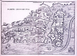
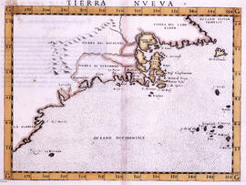
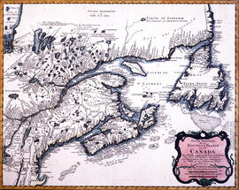
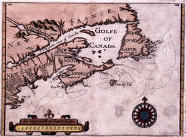
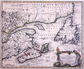
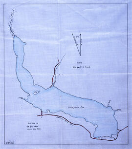
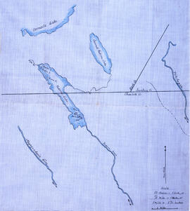
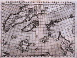
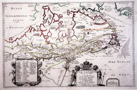
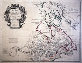
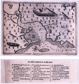
Collection contains twelve historical maps of Eastern Canada, produced by cartographers such as Giovanni Battista Ramusio and Girolamo Ruscelli. Donation also includes a copy of Kershaw's "Early Printed Maps of Canada" and a "A Monograph of the Evolution of the Boundaries of the Province of New Brunswick" by William F. Ganong.
Notes area
Physical condition
Immediate source of acquisition
Arrangement
Language of material
- Multiple Languages
Script of material
Location of originals
Availability of other formats
Restrictions on access
There are no access restrictions on these materials. All materials are open for research.
Terms governing use, reproduction, and publication
Materials do not circulate and must be used in the Archives and Special Collections Reading Room. Materials may be under copyright. Most maps are framed. Contact departmental staff for guidance on reproduction.
Finding aids
Finding aid
Associated materials
See the Hugh Francis Pullen Map Collection (MS-2-756) and the David and Marilyn Janigan Map Collection (2011-006) for more historic maps of Eastern Canada.
Accruals
Further accruals are possible, but not expected.
General note
Preferred citation: [Identification of item], Edward J. Mullaly Map Collection, MS-2-46, Box [box number], Folder [folder number], Dalhousie University Archives, Halifax, Nova Scotia, Canada.