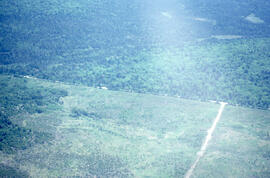
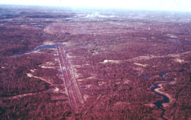
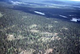
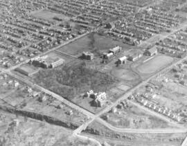
Aerial photograph of the Fundy National Park boundary
- MS-2-789, Box 12, Folder 17, Item 51
- Item
- 1992
Part of Bill Freedman fonds
280 results directly related Exclude narrower terms
Aerial photograph of the Fundy National Park boundary
Part of Bill Freedman fonds
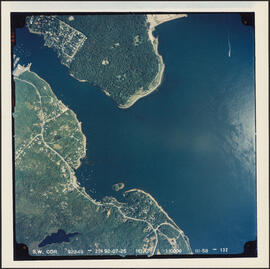
Aerial photograph of the Halifax Harbour approaches south of Point Pleasant Park
Part of Bill Freedman fonds
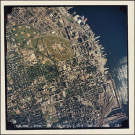
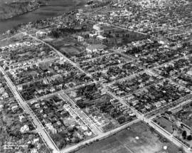
Aerial photograph of the Halifax peninsula
Part of Bill Freedman fonds
Aerial photograph of the Halifax peninsula
Part of Bill Freedman fonds
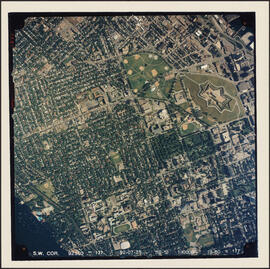
Aerial photograph of the Halifax peninsula
Part of Bill Freedman fonds
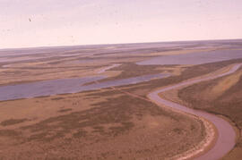
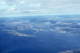
Aerial photograph of the Mackenzie River delta, near Tuktoyaktuk, Northwest Territories
Part of Bill Freedman fonds
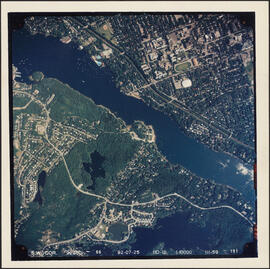
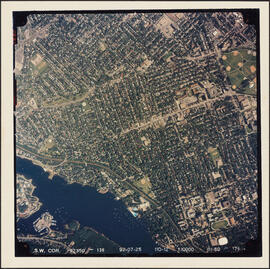
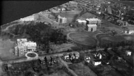
Aerial photograph of the Northwest Arm and Sir Sandford Fleming Park
Part of Bill Freedman fonds
Part of Bill Freedman fonds
Aerial photograph of the O'Donnell Roast Bed, southwest of Sudbury, Ontario
Part of Bill Freedman fonds

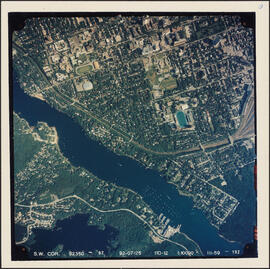
Aerial photograph of the University of King's College campus and the Northwest Arm
Field, D. B.
Aerial photograph of upland tundra and the Voisey Bay coastline, Newfoundland and Labrador
Part of Bill Freedman fonds
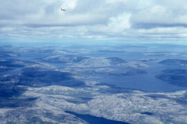
Aerial photograph of upland tundra and the Voisey Bay coastline, Newfoundland and Labrador
Part of Bill Freedman fonds
Aerial photograph of upland tundra and the Voisey Bay coastline, Newfoundland and Labrador
Part of Bill Freedman fonds
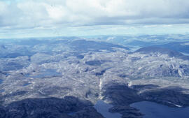
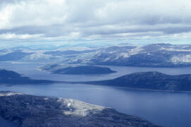
Aerial photograph of upland tundra near Voisey's Bay, Newfoundland and Labrador
Part of Bill Freedman fonds
Part of Bill Freedman fonds
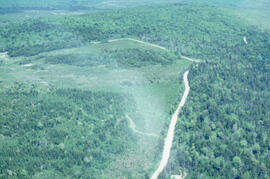
Aerial photograph showing the boundary between an Irving forest plantation and Fundy National Park
Part of Bill Freedman fonds
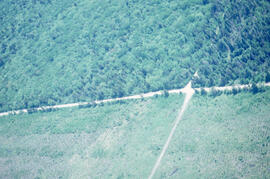
Aerial photograph showing the Fundy National Park boundary
Part of Bill Freedman fonds
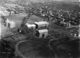
Aerial photographs of Dalhousie University campus
Aerial photographs of Dalhousie University's Studley and Carleton campuses
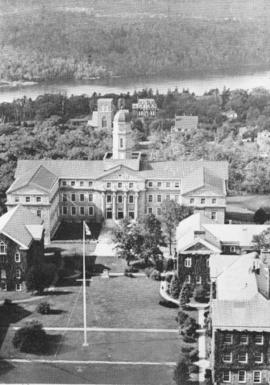
Aerial photographs of Dalhousie University's Studley Campus
Aerial photographs of Dalhousie University's Studley Campus
Aerial photographs of Dalhousie University's Studley Campus
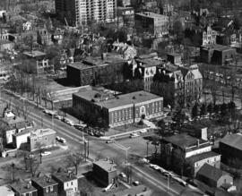
Aerial photographs of North End Halifax
Bob Brooks Illustrative Photography
Aerial photographs of the Nova Scotia Agricultural College
Aerial view of the Henry Hicks Arts & Administration Building
Aerial views: Cartagena, Columbia
Part of Creelman Family fonds
Carlos

Aerial views of Carleton campus

Aerial views of Carleton campus
Saunders, D. W.
Aerial views of Carleton campus
Halifax Photo Servicec Ltd., Harry A Cochrane
Aerial views of Carleton campus
Saunders, D. W.
Aerial views of Dalhousie University campus
Aerial views of Dartmouth - including Miinchesac Rotary
Nova Scotia Information Services
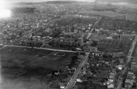
Aerial views of Halifax Nova Scotia
Aerial views of Sexton Campus, formerly Technical University of Nova Scotia
Aerial views of Studley campus
Saunders, D. W.
Aerial views of Studley campus
Saunders, D. W.
Aerial views of Studley campus
Department of National Defence
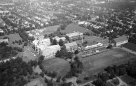
Aerial views of Studley campus
Aerial views of Studley campus
Aerial views of the construction of the Olypmic Stadium in Montreal, Quebec
Part of Oland family fonds
Eastern Passage - Auto Port - Aerial View
Halifax - Aerial View - Dockyard - Foreground
Halifax - Aerial View - South End - Grain Elevators, Etc.