- Item
- 2005
Part of Ransom Myers fonds
15054 results with digital objects Show results with digital objects
Part of Ransom Myers fonds
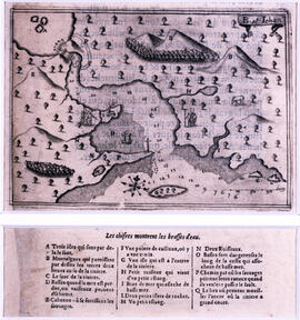
Part of Edward J. Mullaly Map Collection
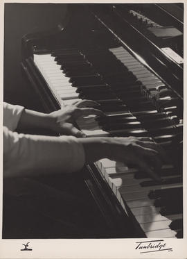
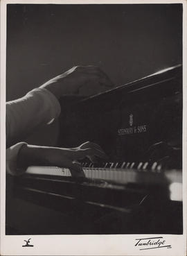
Publicity photograph of Ellen Ballon's hands on a keyboard
Part of Ellen Ballon fonds
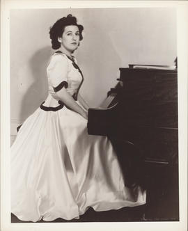
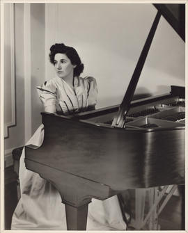
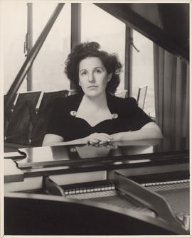
Publicity photograph of Ellen Ballon sitting at a piano
Part of Ellen Ballon fonds
Publicity photograph of Ellen Ballon sitting at a piano
Part of Ellen Ballon fonds
Publicity photograph of Ellen Ballon sitting at a piano
Part of Ellen Ballon fonds
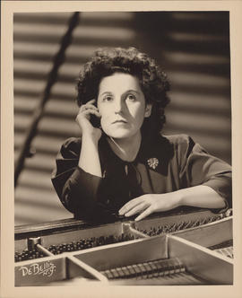
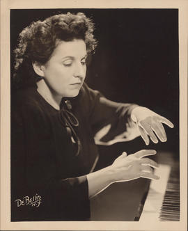
Publicity photograph of Ellen Ballon playing a piano
Part of Ellen Ballon fonds
Publicity photograph of Ellen Ballon playing a piano
Part of Ellen Ballon fonds
Publicity photograph of Ellen Ballon playing a piano
Part of Ellen Ballon fonds
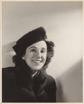
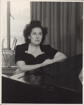
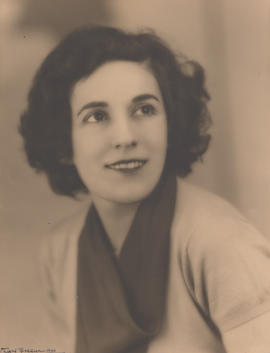
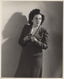
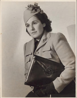
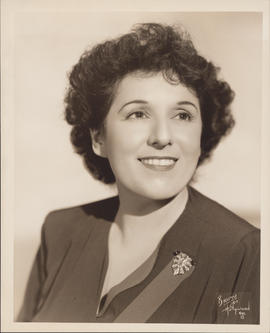
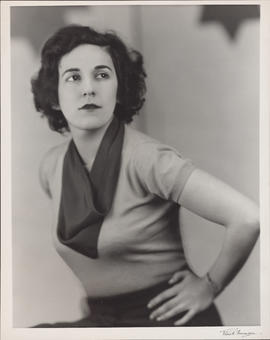
Publicity photograph of Ellen Ballon
Part of Ellen Ballon fonds
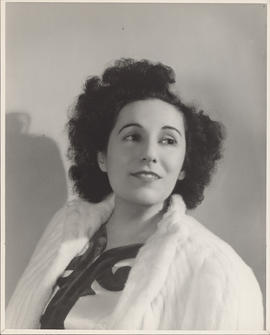
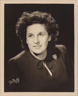
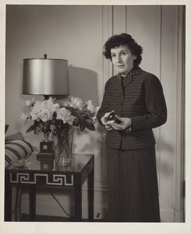
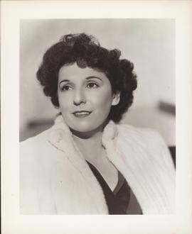
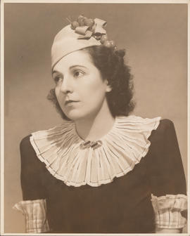
Publicity photograph of Ellen Ballon
Part of Ellen Ballon fonds
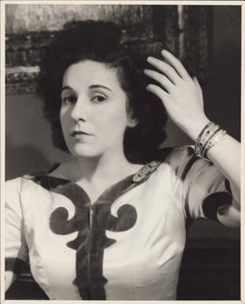
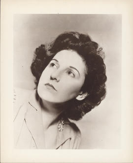
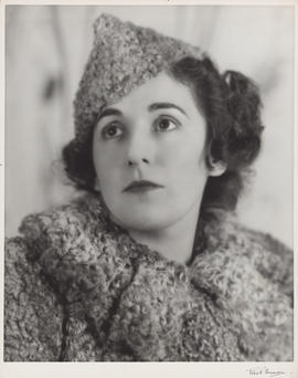
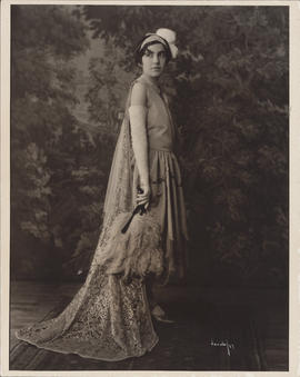
Publicity photograph of Ellen Ballon
Part of Ellen Ballon fonds
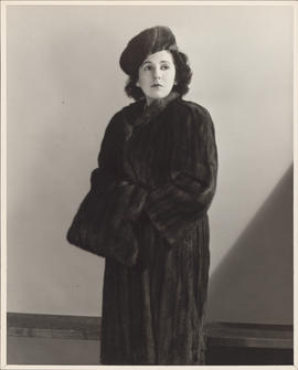
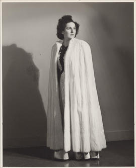
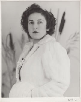
Publicity photograph of Ellen Ballon
Part of Ellen Ballon fonds
Publicity photograph of Ellen Ballon
Part of Ellen Ballon fonds
Publicity photograph of Ellen Ballon
Part of Ellen Ballon fonds
Publicity photograph of Ellen Ballon
Part of Ellen Ballon fonds
Publicity photograph of Ellen Ballon
Part of Ellen Ballon fonds
Publicity photograph of Ellen Ballon
Part of Ellen Ballon fonds
Publicity photograph of Ellen Ballon
Part of Ellen Ballon fonds
Publicity photograph of Ellen Ballon
Part of Ellen Ballon fonds
Publicity photograph of Ellen Ballon
Part of Ellen Ballon fonds
Publicity photograph of Ellen Ballon
Part of Ellen Ballon fonds
Publicity photograph of Ellen Ballon
Part of Ellen Ballon fonds
Publicity photograph of Ellen Ballon
Part of Ellen Ballon fonds
Publicity photograph of Ellen Ballon
Part of Ellen Ballon fonds
Publicity photograph of Ellen Ballon
Part of Ellen Ballon fonds
Publicity photograph of Ellen Ballon
Part of Ellen Ballon fonds
Publicity photograph of Ellen Ballon
Part of Ellen Ballon fonds
Psychology - unidentified faculty (?)
Psychology - self-stimulation experiment -- 'bar-pressing'-- on rat
Wamboldt-Waterfield Photography Limited
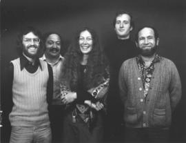
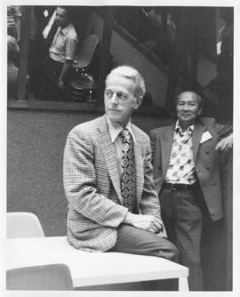
Psychology - new faculty appointees
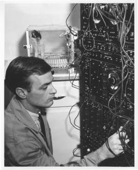
Audio Visual Services
Wamboldt-Waterfield Photography Limited
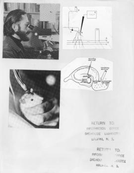
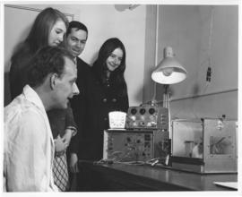
Psychology - electrical stimulation procedure on rat, with diagrams
Wamboldt-Waterfield Photography Limited
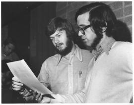
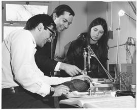
Psychology - Dr. LoLordo with student
Wamboldt-Waterfield Photography Limited
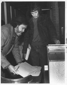
Psychology - Dr. Jim Clark selects a quiz for a psychology student
Wamboldt-Waterfield Photography Limited
Psychology - Dr. E. O. Boyanowsky
Wamboldt-Waterfield Photography Limited
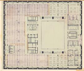
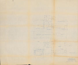
Proposed third floor plan for the Killam Library, showing seating and stack arrangements

Proposed schematic diagram of electrical distribution 230 V.-115 V. A.C. & 115 V. D.C.
Part of Oland and Son fonds
![Proposed rezoning of lands as requested by Dalhousie College and University : [map]](/uploads/r/dalhousie-university-archives/8/6/1/861e617d5c96adf38c584d108c62d54870ae9f68c9c916a83c380a66ad409665/55aba0d1-efab-43d7-bbbd-aef7f5557f2a-UA-3_487_3_9_142.jpg)
Proposed rezoning of lands as requested by Dalhousie College and University : [map]
Part of President’s Office fonds
Proposed modification to saloon & hold : Arrgt. "A" : Schooner "Bluenose"
Part of Oland and Son fonds

Proposed location for the Archives building on Studley campus
Part of Facilities Management

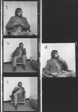
Proof sheet of photographs of the presentation of a picture to Mrs. Stoker
Wamboldt-Waterfield Photography Limited
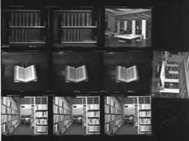
Proof sheet of photographs of book shelves the Killam Memorial Library
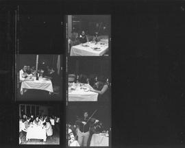
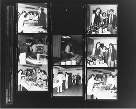
Proof sheet of photographs of a candlelight and wine dinner at Howe Hall
Photo 67
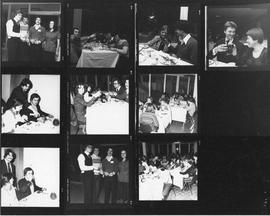
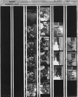
Proof sheet of photographs of a candlelight and wine dinner at Howe Hall
Photo 67
Proof sheet of photographs of a candlelight and wine dinner at Howe Hall
Photo 67
Proof sheet of photograph of a tour of the Dalhousie computer centre