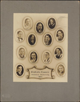
- PC1, Box 81, Folder 7
- Item
- 1934
8831 results with digital objects Show results with digital objects
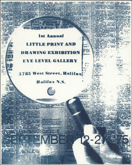
1st Annual little print and drawing exhibition
Part of Eyelevel Gallery fonds
Part of Eyelevel Gallery fonds
Part of Eyelevel Gallery fonds
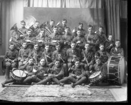
78th Pictou Regiment Cadet Band
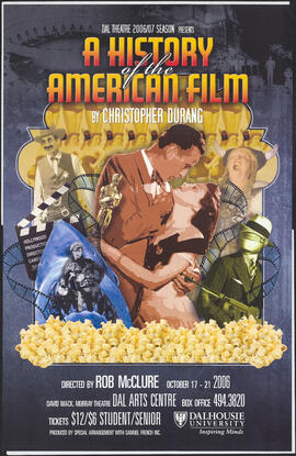
A History of the American Film
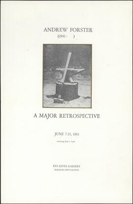
A major retrospective / by Andrew Forster (1942- )
Part of Eyelevel Gallery fonds
![A rhapsody in blue : New Year's Eve at Rumours : [poster]](/uploads/r/dalhousie-university-archives/e/1/8/e185113901fe097e0d5c2deab87b8e02a452dda6db1f50b63c9e66fae07e1bc7/ecb492cb-960a-4994-960b-89ca11e20673-MS-15-3_2019-065_OS6_001_142.jpg)
A rhapsody in blue : New Year's Eve at Rumours : [poster]
Part of Lynn Murphy collection
![A Rumours Club presentation : just for laughs, featuring the fabulous fakes and friends : [poster]](/uploads/r/dalhousie-university-archives/6/8/0/6805f1af59c1e0f3d7c3f497c2fa9dd5c29f4dc12ca0e5c61ffc5edabea0c03c/93b76fa2-4c8c-466f-9418-dfa62e387019-MS-15-3_2019-065_OS1_001_142.jpg)
A Rumours Club presentation : just for laughs, featuring the fabulous fakes and friends : [poster]
Part of Lynn Murphy collection
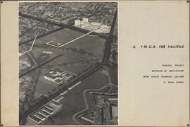
A YMCA for Halifax / H. Drew Sperry
Part of Drew Sperry fonds
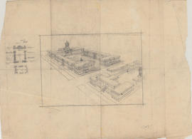
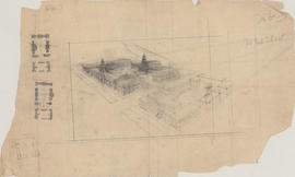
Aerial perspective drawing of a medical school campus
Part of Facilities Management
Aerial perspective drawing of a medical school campus
Part of Facilities Management
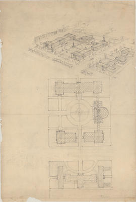
Aerial perspective drawing of a proposed campus for Dalhousie Medical School
Part of Facilities Management
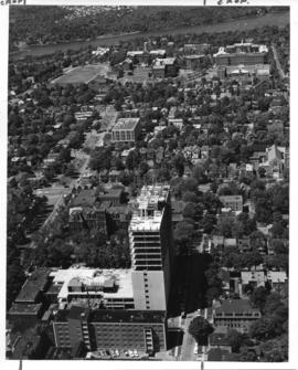
Aerial photograph from the Sir Charles Tupper Medical Building construction
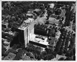
Aerial photograph from the Sir Charles Tupper Medical Building construction
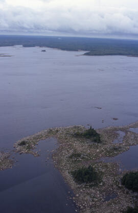
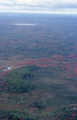
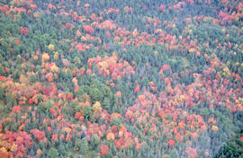
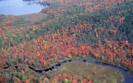
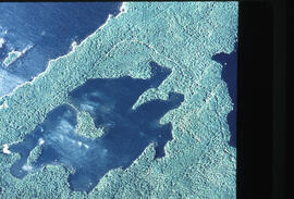
Aerial photograph of a lake with a rocky shore in Tobeatic Wilderness Area, southwestern Nova Scotia
Part of Bill Freedman fonds
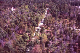
Part of Bill Freedman fonds
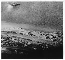
Aerial photograph of Africville

Aerial photograph of Arthur Stanley MacKenzie's funeral procession
Part of Arthur Stanley Mackenzie fonds
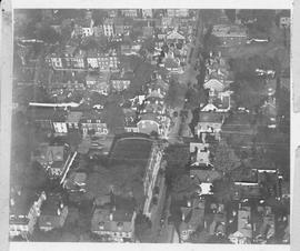
Aerial photograph of Arthur Stanley MacKenzie's funeral procession
Part of Arthur Stanley Mackenzie fonds
Part of Bill Freedman fonds
Part of Bill Freedman fonds
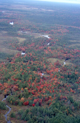
Part of Bill Freedman fonds
Part of Bill Freedman fonds
Part of Bill Freedman fonds
Part of Bill Freedman fonds
Part of Bill Freedman fonds
Aerial photograph of Carleton Campus at Dalhousie University
Lockwood Survey Corporation (Montreal)
Aerial photograph of Carleton Campus at Dalhousie University
Lockwood Survey Corporation (Montreal)

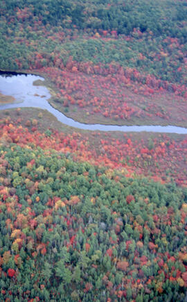
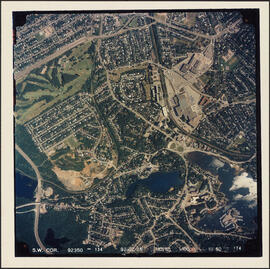
Aerial photograph of Clayton Park and Bayers Lake Industrial Park
Part of Bill Freedman fonds
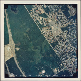
Aerial photograph of Clayton Park and Bayers Lake Industrial Park
Part of Bill Freedman fonds
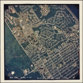
Aerial photograph of Clayton Park and Fairview
Part of Bill Freedman fonds
Aerial photograph of Clayton Park, Beechwood Park, and Fairview
Part of Bill Freedman fonds
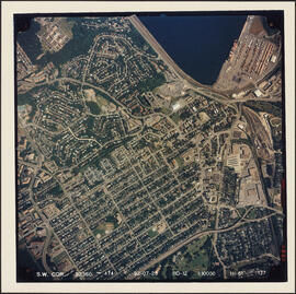
Aerial photograph of communities surrounding the Armdale traffic circle
Part of Bill Freedman fonds
Aerial photograph of communities surrounding the Armdale traffic circle
Part of Bill Freedman fonds
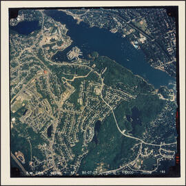
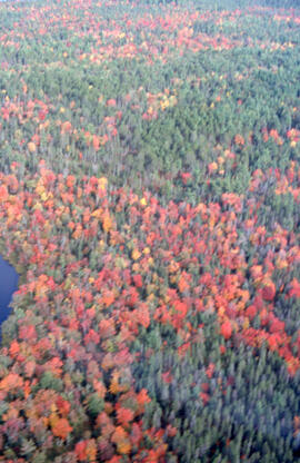
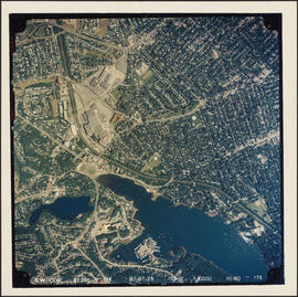
Aerial photograph of Cowie Hill
Part of Bill Freedman fonds
Aerial photograph of Dalhousie and Halifax
Aerial photograph of Dalhousie and Halifax
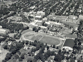
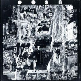
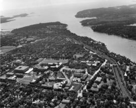
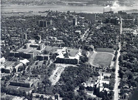
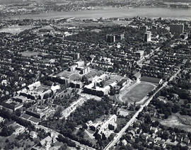
Aerial photograph of Dalhousie University
Wamboldt-Waterfield Photography Limited
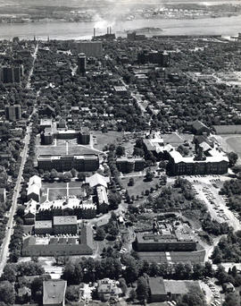
Aerial photograph of Dalhousie University
Wamboldt-Waterfield Photography Limited

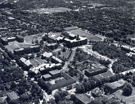
Aerial photograph of Dalhousie University
Wamboldt-Waterfield Photography Limited
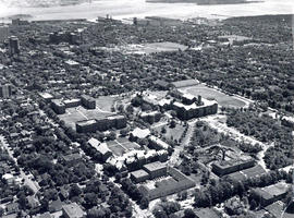
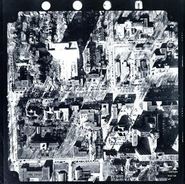
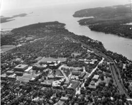
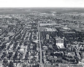
Aerial photograph of Dalhousie University and Halifax
Wamboldt-Waterfield Photography Limited
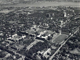
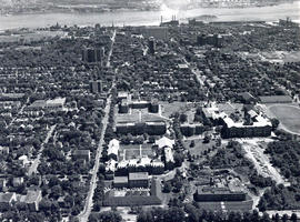
Aerial photograph of Dalhousie University and Halifax
Wamboldt-Waterfield Photography Limited
Aerial photograph of Dalhousie University and Halifax
Wamboldt-Waterfield Photography Limited
Aerial photograph of Dalhousie University and Halifax
Wamboldt-Waterfield Photography Limited
Aerial photograph of Dalhousie University and Halifax
Wamboldt-Waterfield Photography Limited
Aerial photograph of Dalhousie University and Halifax
Wamboldt-Waterfield Photography Limited
Aerial photograph of Dalhousie University and Halifax
Wamboldt-Waterfield Photography Limited