Print preview Close
Showing 1009 results
Archival Description992 results with digital objects Show results with digital objects
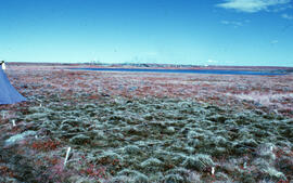
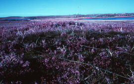
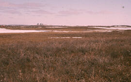
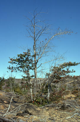
Photograph of an overview of regrowth at the Pingo control site, near Tuktoyaktuk, Northwest Territories
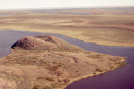
Aerial photograph showing a collapsing pingo, Tuktoyaktuk Peninsula, Northwest Territories
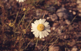
Photograph of false mayweed (Tripleurospermum maritimum spp. phaeococephaum) near Tuktoyaktuk, Northwest Territories
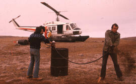
Photograph of Bill Freedman and Bill Gizyn spraying oil at a Cape Parry control site, Northwest Territories
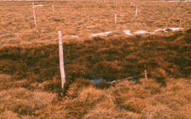
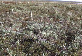
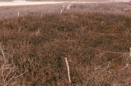
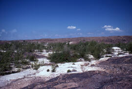
Photograph of regrowth at the Meadow winter spill site, near Tuktoyaktuk, Northwest Territories
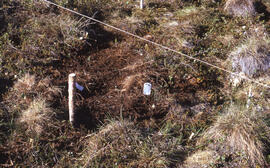
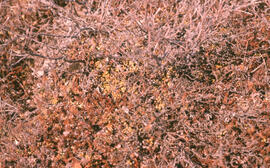
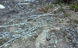
Photograph of detail regowth at the Point spill site, near Tuktoyaktuk, Northwest Territories
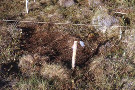
Photograph of regrowth at the Meadow summer spill site, near Tuktoyaktuk, Northwest Territories
Photograph of regrowth detail at the Point site, near Tuktoyaktuk, Northwest Territories
Photograph showing regrowth at the Meadow summer spill site, near Tuktoyaktuk, Northwest Territories
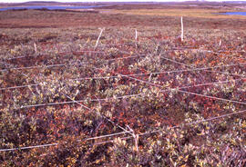
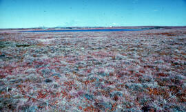
Photograph of an overview of regrowth at the Meadow site, near Tuktoyaktuk, Northwest Territories
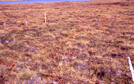
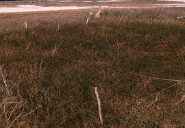
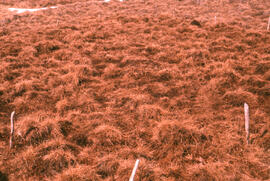
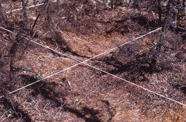
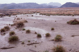
Photograph of the Eriophorum (sedge) meadow control site one month after spill, near Tuktoyaktuk, Northwest Territories
Photograph of an overview of regrowth at the Lupin control site, near Tuktoyaktuk, Northwest Territories
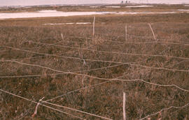
Photograph of the Salix (willow) hill control site, one month after spill, near Tuktoyaktuk, Northwest Territories
Photograph of regrowth detail at the Lupin control site, near Tuktoyaktuk, Northwest Territories
Photograph of an overview of regrowth at the Lupin spill site, near Tuktoyaktuk, Northwest Territories
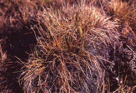
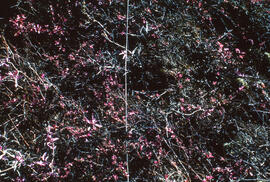
Photograph of Tussock cottonsedge (Eriophorum vaginatum) in hummock habitat, near Tuktoyaktuk, Northwest Territories
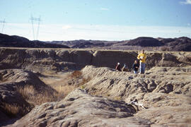
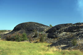
Photograph of an overview of the oiled Pingo control site, near Tuktoyaktuk, Northwest Territories
Photograph of an overview of regrowth at the Lupin spill site, near Tuktoyaktuk, Northwest Territories
Photograph of an overview of the Lupin control site, near Tuktoyaktuk, Northwest Territories
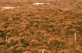
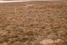
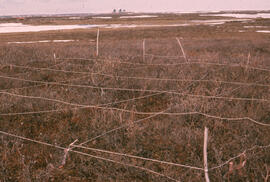
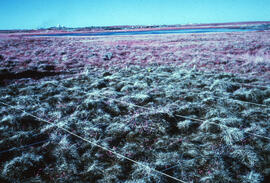
Photograph showing regrowth at the Meadow control site, near Tuktoyaktuk, Northwest Territories
Photograph of regrowth at an unidentified spill site near Tuktoyaktuk, Northwest Territories
Photograph of an overview of regrowth in the southwest corner of the Meadow summer site, near Tuktoyaktuk, Northwest Territories
Photograph of regrowth at the Meadow summer spill site, near Tuktoyaktuk, Northwest Territories
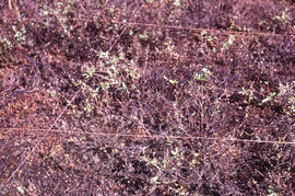
Photograph of vegetation recovery at the Salix (willow) hill spill site after one month, near Tuktoyaktuk, Northwest Territories
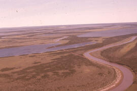
Aerial photograph of the Mackenzie River delta, near Tuktoyaktuk, Northwest Territories
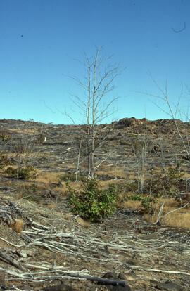
Photograph of minimal regrowth at the burnt forest spill site after one year, near Tuktoyaktuk, Northwest Territories
Photograph of regrowth at the Pingo control spill site near Tuktoyaktuk, Northwest Territories
Photographs of Sudbury scenes
Photographs of Sudbury scenes
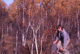
Photograph of an unidentified person standing in a birch transition zone near Sudbury mining facilities
Photograph of four unidentified people at the Coniston site, near Sudbury, Ontario
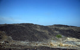
Photograph of a roast bed at the Falconbridge site, near Sudbury, Ontario
Photograph of vegetation regrowth at a 50-year-old roast bed site, near Sudbury, Ontario
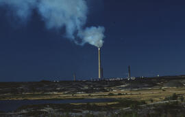
Photograph of the Inco Superstack, Copper Cliff site, near Sudbury, Ontario
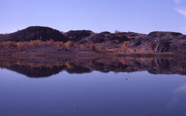
Photograph of slag heaps on the north side of Kelly Lake, Copper Cliff site, near Sudbury, Ontario
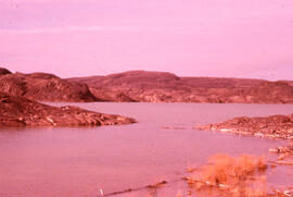
Photograph of Baby Lake, Coniston site, near Sudbury, Ontario
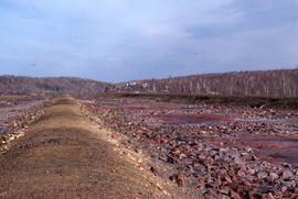
Photograph of an active tailings pond and slag heaps at the Coniston site, near Sudbury, Ontario
Photograph of northern red oak (Quercus rubra) on a hilltop 3 kilometres from the Copper Cliff site, near Sudbury, Ontario
Photograph of red maple (Acer rubrum) on a hilltop 3 kilometres from the Copper Cliff site, near Sudbury, Ontario
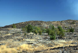
Photograph of regrowth around slag heaps 3 kilometres from the Copper Cliff site, near Sudbury, Ontario
Photograph of reemergence of Stereocaulon paschale lichen at Richard Lake site, near Sudbury, Ontario
Photograph of tufted hair grass (Deschampsia caespitosa) at the Coniston site, near Sudbury, Ontario
Photograph of a stand of trees 6 kilometres from the Inco Superstack, Copper Cliff site, near Sudbury, Ontario
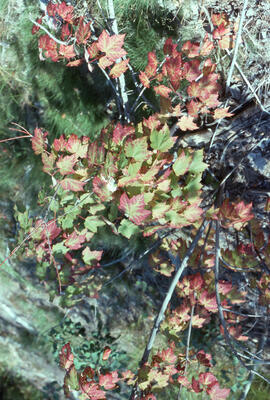
Photograph of sulfur dioxide damage to red maple (Acer rubrum) at the Copper Cliff site, near Sudbury, Ontario
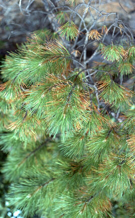
Photograph of sulfur dioxide damage to red pine (Pinus resinosa) at Richard Lake, near Sudbury, Ontario
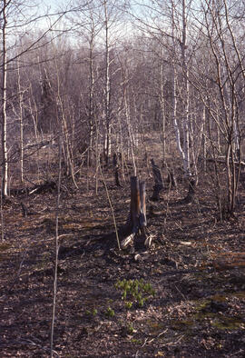
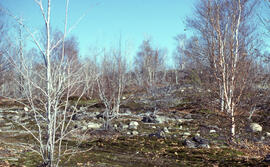
Photograph of a birch transition area near Sudbury, Ontario
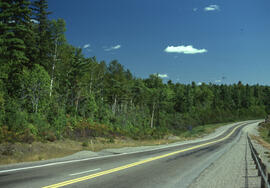
Photograph of mixed forest along a highway 35 kilometres from the Copper Cliff site, near Sudbury, Ontario
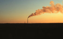
Photograph of a sunset over the Inco Superstack, Copper Cliff site, near Sudbury, Ontario
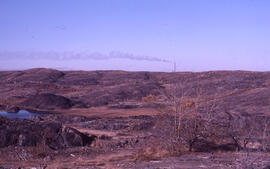
Photograph of the Inco superstack as seen from the Coniston site, near Sudbury, Ontario
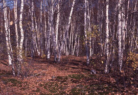
Photograph of a small stand of White birch (Betula papyrifera) three kilometres south of Copper Cliff site, near Sudbury, Ontario
Photograph of a stand of Red maple (Acer rubrum) at the Coniston site, near Sudbury, Ontario
Results 51 to 100 of 1009