Print preview Close
Showing 1009 results
Archival Description992 results with digital objects Show results with digital objects
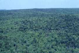
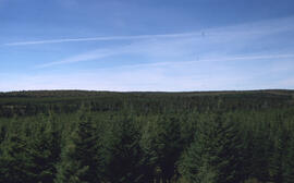
Aerial photograph of dense natural forest near Fundy National Park, New Brunswick
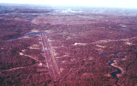
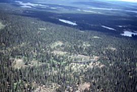
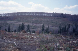
Aerial photograph of forestry cut overs in northern New Brunswick
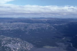
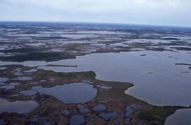
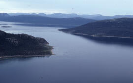
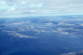
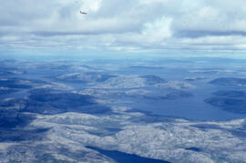
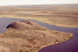
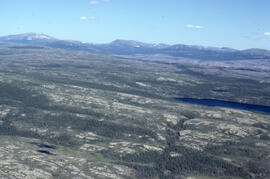
Aerial photograph of headlands and landscape around Voisey's Bay, Newfoundland and Labrador
Aerial photograph of headlands and landscape around Voisey's Bay, Newfoundland and Labrador
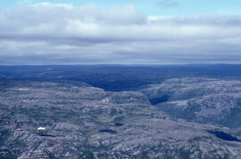
Aerial photograph of headlands and landscape around Voisey's Bay, Newfoundland and Labrador
Aerial photograph of headlands and landscape around Voisey's Bay, Newfoundland and Labrador
Aerial photograph of headlands and landscape around Voisey's Bay, Newfoundland and Labrador
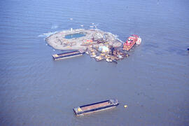
Aerial photograph of Immerk artificial island, Mackenzie Bay, Northwest Territories
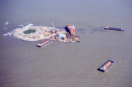
Aerial photograph of Immerk artificial island, Mackenzie Bay, Northwest Territories
Aerial photograph of large forested plot before spraying
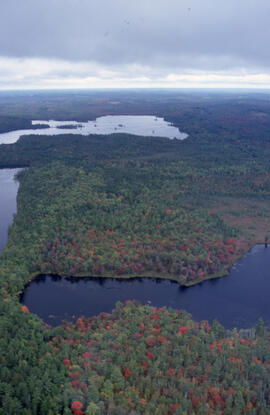
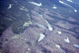
Aerial photograph of mixed Acadian forest near two lakes in the Tobeatic Wilderness Area, southwestern Nova Scotia
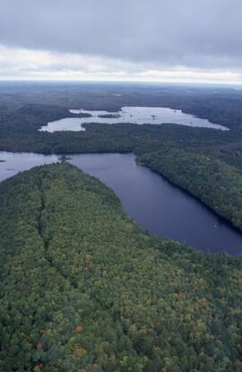
Aerial photograph of mixed Acadian forest near two lakes in the Tobeatic Wilderness Area, southwestern Nova Scotia
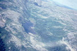
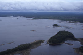
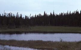
Aerial photograph of ponds on the Great Northern Peninsula, Newfoundland and Labrador
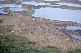
Aerial photograph of ponds on the Great Northern Peninsula, Newfoundland and Labrador
Aerial photograph of seven years of regeneration at a Black spruce (Picea mariana) burn site, near Postville, Newfoundland and Labrador
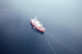
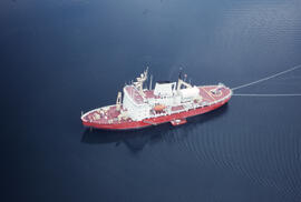
Aerial photograph of the accommodation ship Franklin in Voisey's Bay, Newfoundland and Labrador
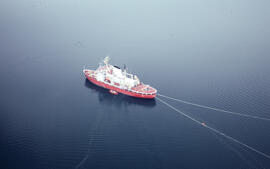
Aerial photograph of the accommodation ship Franklin in Voisey's Bay, Newfoundland and Labrador
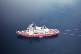
Aerial photograph of the accommodation ship Franklin in Voisey's Bay, Newfoundland and Labrador
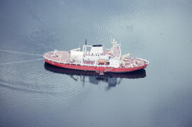
Aerial photograph of the accommodation ship Franklin in Voisey's Bay, Newfoundland and Labrador
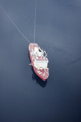
Aerial photograph of the accommodation ship Franklin in Voisey's Bay, Newfoundland and Labrador
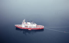
Aerial photograph of the accommodation ship Franklin in Voisey's Bay, Newfoundland and Labrador
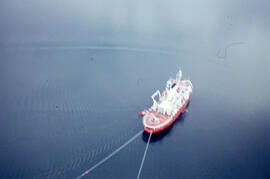
Aerial photograph of the accommodation ship Franklin in Voisey's Bay, Newfoundland and Labrador
Aerial photograph of the accommodation ship Franklin, Anaktalak Bay, near Voisey's Bay, Newfoundland and Labrador
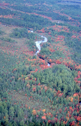
Aerial photograph of the autumnal Acadian forest in the Tobeatic Wilderness Area, southwestern Nova Scotia
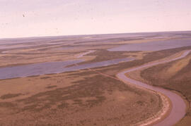
Aerial photograph of the coastline around Voisey's Bay, Newfoundland and Labrador
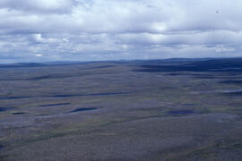
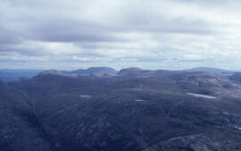
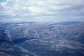
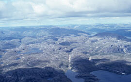
Aerial photograph of the flat tundra of the upland plateau near Voisey's Bay, Newfoundland and Labrador
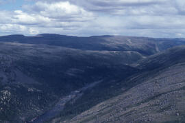
Aerial photograph of the Fraser River canyon, near Voisey's Bay, Newfoundland and Labrador
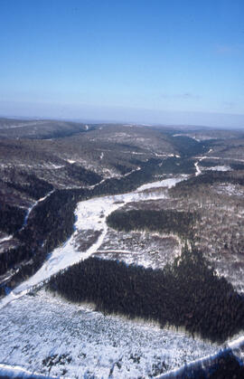
Aerial photograph of the Fundy National Park boundary
Aerial photograph of the Mackenzie River delta, near Tuktoyaktuk, Northwest Territories
Aerial photograph of the O'Donnell Roast Bed, southwest of Sudbury, Ontario
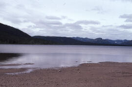
Aerial photograph of Tobeatic Lake, Tobeatic Wilderness Area, southwestern Nova Scotia
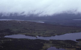
Aerial photograph of tundra at 2500 feet near Postville, Newfoundland and Labrador
Aerial photograph of upland tundra and the Voisey Bay coastline, Newfoundland and Labrador
Aerial photograph of upland tundra and the Voisey Bay coastline, Newfoundland and Labrador
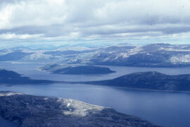
Aerial photograph of upland tundra and the Voisey Bay coastline, Newfoundland and Labrador
Aerial photograph of upland tundra near Voisey's Bay, Newfoundland and Labrador
Aerial photograph showing a collapsing pingo, Tuktoyaktuk Peninsula, Northwest Territories
Aerial photograph showing Black spruce (Picea mariana) woodlands, near Postville, Newfoundland and Labrador
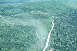
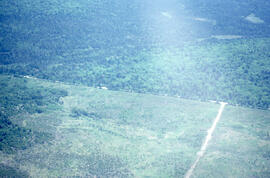
Aerial photograph showing the boundary between an Irving forest plantation and Fundy National Park
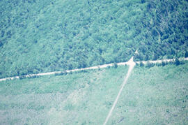
Aerial photograph showing the Fundy National Park boundary
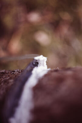
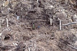
Close-up photograph of researchers conducting stemflow measurements at an unidentified central Nova Scotian site
Elisabeth Mann Borgese fonds
Elisabeth Mann Borgese fonds
Photograph depicting glacial striation near Postville, Newfoundland and Labrador
Photograph depicting Streptomyces caespitosus in a lakeside fen near Postville, Newfoundland and Labrador
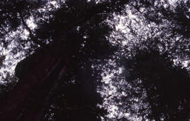
Photograph looking up at the Acadian forest canopy in the Tobeatic Wilderness Area, southwestern Nova Scotia
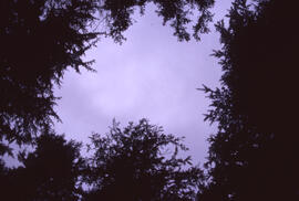
Photograph looking up through the Acadian forest canopy at a cloudy sky in the Tobeatic Wilderness Area, southwestern Nova Scotia
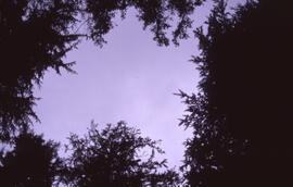
Photograph looking up through the Acadian forest canopy at a cloudy sky in the Tobeatic Wilderness Area, southwestern Nova Scotia
Photograph near the mouth of the Fraser River as it empties into Voisey's Bay, Newfoundland and Labrador
Photograph of 1-year-old Spruce seedlings in the Irving Black Brook District, northwestern New Brunswick
Photograph of a 3 or 4 year planted hillside stand, Irving Black Brook District, northwestern New Brunswick
Results 51 to 100 of 1009