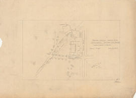
First and second in series of property lot maps for Atlantic-Brussels-Acadia-Inglis streets
Add to clipboard
First and second in series of property lot maps for Atlantic-Brussels-Acadia-Inglis streets
Ronald Justin Inness fonds
Add to clipboard
Ronald Justin Inness fonds
Plan of survey of lands of Richard H. Oland, Tremont Street, Chester, Lunenburg County, Nova Scotia
Add to clipboard
Plan of survey of lands of Richard H. Oland, Tremont Street, Chester, Lunenburg County, Nova Scotia
Ronald St. John Macdonald fonds
Add to clipboard
Ronald St. John Macdonald fonds
Ronald St. John Macdonald’s professional records
Add to clipboard
Ronald St. John Macdonald’s professional records
Drew Sperry fonds
Add to clipboard
Drew Sperry fonds
Republic of Cyprus
Add to clipboard
Republic of Cyprus
Plans for the mini hydro power development on the Sackville River, Nova Scotia : McCabe Lake storage dam location
Add to clipboard
Plans for the mini hydro power development on the Sackville River, Nova Scotia : McCabe Lake storage dam location
Nova Scotia Power Corporation plan of lots 16 - 17b, Brushy Hill - Lakeside, placement of the transmission line
Add to clipboard
Nova Scotia Power Corporation plan of lots 16 - 17b, Brushy Hill - Lakeside, placement of the transmission line
Legal documents related to Lindwood Holdings Ltd. and the purchase of the Seabright, Nova Scotia properties
Add to clipboard
Legal documents related to Lindwood Holdings Ltd. and the purchase of the Seabright, Nova Scotia properties
Florence Jessie Murray's records
Add to clipboard
Florence Jessie Murray's records
Photographs of the flora, fauna, and buildings on Sable Island, Nova Scotia
Add to clipboard
Photographs of the flora, fauna, and buildings on Sable Island, Nova Scotia
Add to clipboard
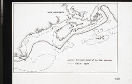
Transparency map of continental shelf off Nova Scotia and Sable Island
Plan of survey of lands of Lindwood Holdings Limited in Seabright, Halifax County, Nova Scotia
Add to clipboard
Plan of survey of lands of Lindwood Holdings Limited in Seabright, Halifax County, Nova Scotia
Gulf of Maine case
Add to clipboard
Gulf of Maine case
Add to clipboard
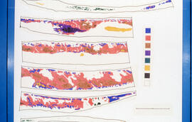
Transparency relief map of Sable Island
Plans of survey of lands of and lands claimed by Culverwell Holdings Limited around Highway No. 1, Old Sackville Road and Lucasville Road, Sackville, Nova Scotia
Add to clipboard
Plans of survey of lands of and lands claimed by Culverwell Holdings Limited around Highway No. 1, Old Sackville Road and Lucasville Road, Sackville, Nova Scotia
Add to clipboard
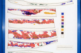
Transparency relief map of Sable Island
Plan of survey of Block - WK - Bluenose Wharf, property of A. Keith & Son Limited
Add to clipboard
Plan of survey of Block - WK - Bluenose Wharf, property of A. Keith & Son Limited
Plans of survey of property of Lindwood Holdings Limited on Young Avenue, Ivanhoe Street and Atlantic Street
Add to clipboard
Plans of survey of property of Lindwood Holdings Limited on Young Avenue, Ivanhoe Street and Atlantic Street
Maps related to the Gulf of Maine case
Add to clipboard
Maps related to the Gulf of Maine case
Ronald Justin Inness' maps
Add to clipboard
Ronald Justin Inness' maps
Dalhousie University campus maps
Add to clipboard
Dalhousie University campus maps
Plans showing the property borders surrounding Lindwood Farms, Sackville, Nova Scotia
Add to clipboard
Plans showing the property borders surrounding Lindwood Farms, Sackville, Nova Scotia
Plan showing Lot D1 of the Carl Hamilton property for transfer to Lindwood Farms
Add to clipboard
Plan showing Lot D1 of the Carl Hamilton property for transfer to Lindwood Farms
A YMCA for Halifax
Add to clipboard
A YMCA for Halifax
Add to clipboard
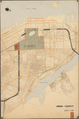
Urban context
Add to clipboard
Proposed rezoning of lands as requested by Dalhousie College and University : [map]
Lindwood farm property map
Add to clipboard
Lindwood farm property map
Plan of survey showing property of S. C. Oland, Pleasant Street - Central Street, Chester, Lunenburg County, Nova Scotia
Add to clipboard
Plan of survey showing property of S. C. Oland, Pleasant Street - Central Street, Chester, Lunenburg County, Nova Scotia
Add to clipboard
Ground plan of Dalhousie University : [map]
Add to clipboard
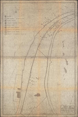
Map of Africville
Plan of survey for properties of Olands at Northfield, Hants County, Nova Scotia
Add to clipboard
Plan of survey for properties of Olands at Northfield, Hants County, Nova Scotia
Records relating to the Abrierl Fisheries Telephone Company Ltd., Tangier Exchange
Add to clipboard
Records relating to the Abrierl Fisheries Telephone Company Ltd., Tangier Exchange
Add to clipboard
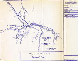
Map of Musquodoboit Harbour Rural Telephone Company lines
Lindwood farm and vincity near Middle Sackville, Nova Scotia prepared, 1945, from existing air photographs and maps
Add to clipboard
Lindwood farm and vincity near Middle Sackville, Nova Scotia prepared, 1945, from existing air photographs and maps
Add to clipboard
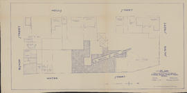
Plan showing properties bounded by Bishop, Hollis, Salter & Water Streets
Add to clipboard
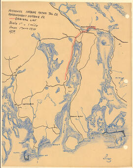
Map of Petpeswick Harbour Mutual Telephone Company's telephone line
Oland Estate : Plan of lands at Sackville, Nova Scotia, property of George W. C. Oland
Add to clipboard
Oland Estate : Plan of lands at Sackville, Nova Scotia, property of George W. C. Oland
Add to clipboard
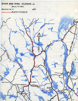
Map of Beaver Bank Rural Telephone Company's telephone line
Add to clipboard
Proposed location for the Archives building on Studley campus
Add to clipboard
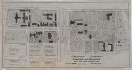
Dalhousie University grounds and buildings : erected and proposed
Site plans and maps of Studley campus
Add to clipboard
Site plans and maps of Studley campus
Add to clipboard
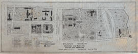
Dalhousie University grounds and buildings : erected and proposed
Potential medical school site plans and and aerial perspective drawings
Add to clipboard
Potential medical school site plans and and aerial perspective drawings
Records relating to the Afton & Merlin Mutual Telephone Company Ltd.
Add to clipboard
Records relating to the Afton & Merlin Mutual Telephone Company Ltd.
Survey plan of McConnel property at corner of Jamison street and Windmill road in Dartmouth, Nova Scotia, 1916
Add to clipboard
Survey plan of McConnel property at corner of Jamison street and Windmill road in Dartmouth, Nova Scotia, 1916
Canadian government railways Halifax ocean terminals docks (first unit) contract no. 3, general plan (Halifax Harbour-waterfront plan)
Add to clipboard
Canadian government railways Halifax ocean terminals docks (first unit) contract no. 3, general plan (Halifax Harbour-waterfront plan)
Map of the lots on Atlantic-Acadia-Brussels streets belonging to J.E. Roy, 1911
Add to clipboard
Map of the lots on Atlantic-Acadia-Brussels streets belonging to J.E. Roy, 1911
Campus map of the Nova Scotia Technical College
Add to clipboard
Campus map of the Nova Scotia Technical College

![Proposed rezoning of lands as requested by Dalhousie College and University : [map]](/uploads/r/dalhousie-university-archives/8/6/1/861e617d5c96adf38c584d108c62d54870ae9f68c9c916a83c380a66ad409665/55aba0d1-efab-43d7-bbbd-aef7f5557f2a-UA-3_487_3_9_142.jpg)
![Ground plan of Dalhousie University : [map]](/uploads/r/dalhousie-university-archives/0/a/8/0a834f8be003875dbec4cda568fa7e0a24fae39ff5f4cfbb41c3d54d5495bd16/83655f0e-ef17-4831-90a0-73b6ffee38ca-UA-3_487_3_8_142.jpg)
