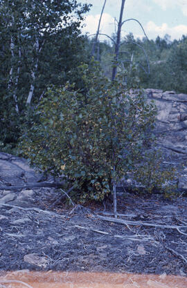
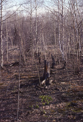
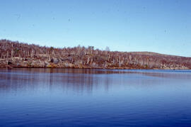
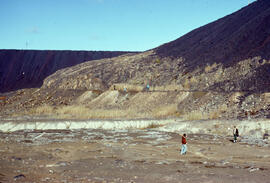
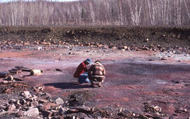
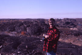
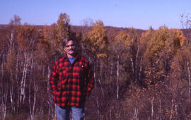
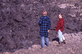
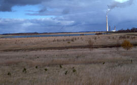
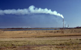
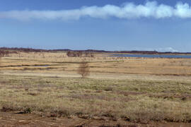
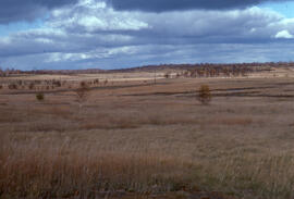
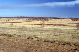
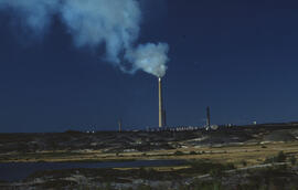
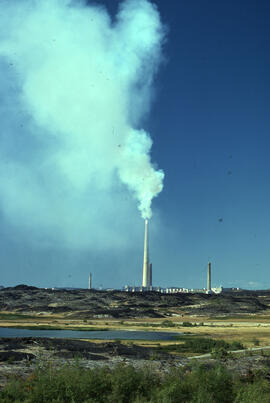
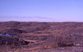
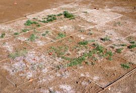
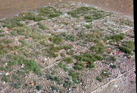
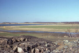
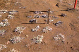
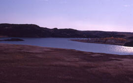
Sudbury (Ont.)

Taxonomy

Code

46.5, -80.966667 Map of Sudbury (Ont.)

Scope note(s)

Source note(s)

  • Coordinates derived from http://geonames.nga.mil/namesviewer/

Display note(s)

Hierarchical terms

Sudbury (Ont.)

BT Ontario

Sudbury (Ont.)

Equivalent terms

Sudbury (Ont.)

  • UF Sudbury, Ont.

Associated terms

Sudbury (Ont.)

168 Archival Description results for Sudbury (Ont.)

Only results directly related

Photographs of tailings sites around Sudbury

File contains 36 photographs taken by Bill Freedman in the area around Sudbury, Ontario, between 1975 and 1986 (many of which were used as part of his thesis fieldwork). Photographs show tailings ponds, nickel runs, roast beds, and slag pouring at the Coppercliff, Burwash, Coniston, Richard Lake, and Falconbridge sites.

Photographs of Sudbury scenes

File contains 116 photographs taken by Bill Freedman in the region around Sudbury, Ontario, between 1975 and 1986, as part of his thesis fieldwork. Photographs show slag heaps, roast beds, pollution, plant damage, and mining infrastructure from the Copper Cliff, Coniston, and Falconbridge sites near Sudbury, and flora at the nearby Wanapitei River, Richard Lake, and Burwash sites.
Results 1 to 50 of 168