Item is a photograph of buildings and equipment at the Dalhousie Pit in Stellarton. Acadia Coal Company opened the Dalhousie Pit on the Foord Seam in 1850. The mine was destroyed by fire in 1870. A negative is available: PC-2-318-66.
Fonds contains William McKenzie's notebook and several loose sheets detailing timber purchases; three memos to William McKenzie, including one from Jessie Hoyt, who managed the company; the second [1896] and third [1898] published annual reports of the Relief Fund Association of the Employees of the Acadia Colliery; a Fairbanks Standard Scales catalogue; and the Westville business directory [1897].
File contains hand-drawn and printed maps of coal fields and designated areas, including Pictou coal fields; the Mining Association area; Cape Breton Company's areas; Albion Mines; Stellar Mine; Fraser Oil-Coal Mines; Intercolonial Coal Mining Company property; East River Mining Company area; Acadian Coal Company areas; and the Halifax Company Ltd.
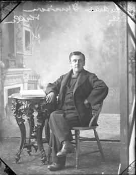
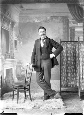
Item is a portrait photograph of Rod McDonald wearing a winged collar and broad tie, standing with one hand on his hip and the other on the back of a chair, full pose.
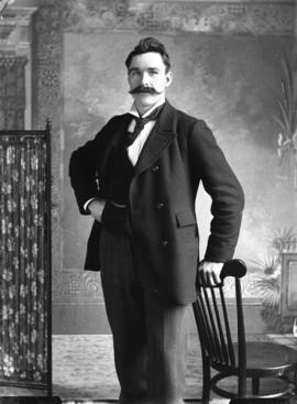
Item is a portrait photograph of Rod McDonald wearing a winged collar and broad tie, standing with one hand on his hip and the other on the back of a chair, 3/4 pose.
Individual poses of 30 fireman positioned around a photo of fire-fighting equipment outside a building; bust. Inscribed: "Stellarton Fire 1896 Dept.". Negative is also available: PC-2-282-1
Individual poses of 30 fireman positioned around a photo of fire-fighting equipment outside a building; bust. Inscribed: "Stellarton Fire 1896 Dept.". Print copy is also available: PC-2-334-65
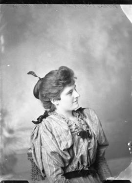
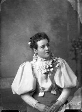
Item is a portrait photograph of Mrs.Poole's daughter wearing her hair up on top of her head, dressed in a formal gown with two sprays of flowers on it, and carrying a fan, looking to the side, standing; full pose.