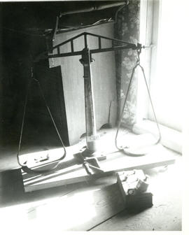
Photograph of a gold-weighing scale used at the Whiteburn mine in Molega, Nova Scotia

Photograph of a scale and weights used at the Whiteburn mine at Molega, Nova Scotia
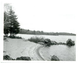
Photograph of fine quartz sand on Molega Beach, Nova Scotia
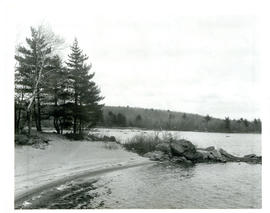
Photograph of quartz sand at Molega Beach, Nova Scotia
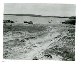
Photograph of the sand at Molega Beach, formed from crushed quartz caused by a gold stamp mill
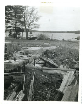
Photograph of the remains of a gold stamp mill at Molega Beach
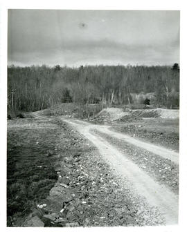
Photograph of a gravel road and tailings from the gold mine at Molega, Nova Scotia
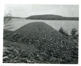
Photograph of a pile of tailings at the Molega gold mines
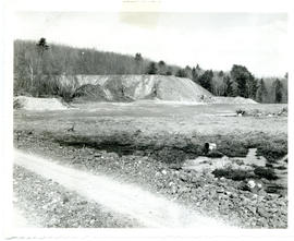
Photograph of a mound of tailings at the Molega gold mines
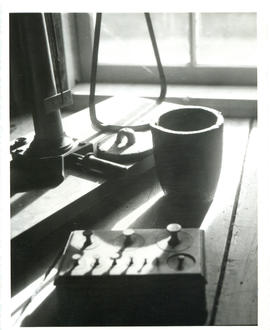
Photograph of a crucible beside a gold-weighing scale and weights at the Whiteburn mine
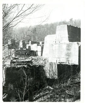
Photograph of the concrete foundation for an ore crusher at the Molega mines
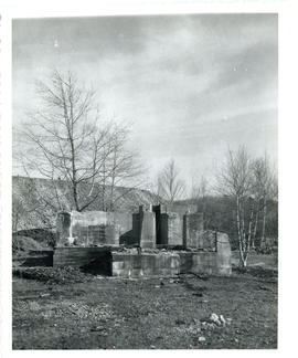
Photograph of the remains of an ore-crusher at Molega
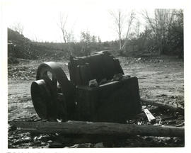
Photograph of part of an ore-crusher at Johnson's Dump at the Molega mines
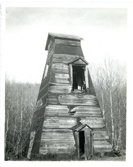
Photograph of the remains of a shaft house at one of the Molega gold mines
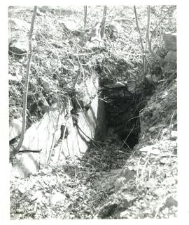
Photograph of one of the many small shafts dug at Molega
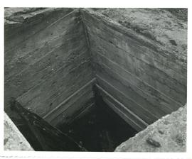
Photograph of the remains of a mine shaft at Molega
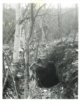
Photograph of one of the small shafts dug at Molega
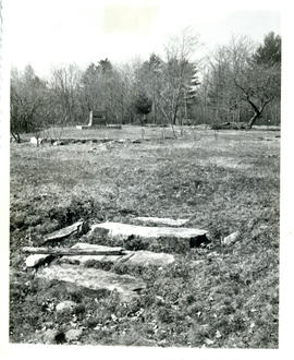
Photograph of the remains of a substantial home built at the Molega gold mines in the 1880's
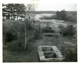
Photograph of the surface end of a 200-foot mine shaft
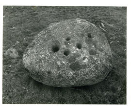
Photograph of a perforated stone at the Molega mines
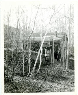
Photograph of a shack near the Molega mines
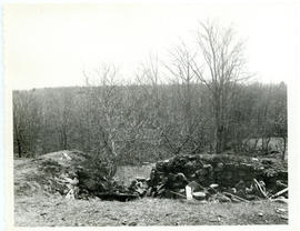
Photograph of the remains of a stone wall near the Molega mines
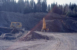
Photograph of gravel mining from an esker to pave forest roads in the Irving Black Brook District, northwestern New Brunswick
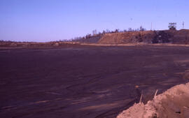
Photograph of an active tailings site at Copper Cliff, near Sudbury, Ontario
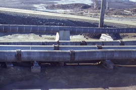
Photograph of wooden corrosion-resistant tailing slurry pipes, Copper Cliff, near Sudbury, Ontario
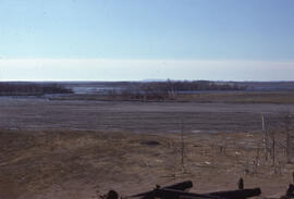
Photograph of an active tailings pond at Copper Cliff, near Sudbury, Ontario
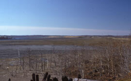
Photograph of an active tailings pond at Copper Cliff, near Sudbury, Ontario
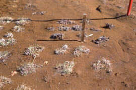
Photograph of sparse mugwort (Artemesia) growing at a tailings site at Nickel Rim, near Sudbury, Ontario
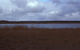
Photograph of natural reclamation of a tailings site at Falconbridge, near Sudbury, Ontario
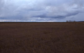
Photograph of natural reclamation of a tailings site at Falconbridge, near Sudbury, Ontario
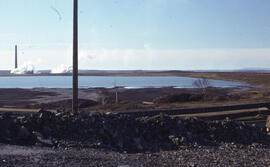
Photograph of an active tailings site at Copper Cliff, near Sudbury, Ontario
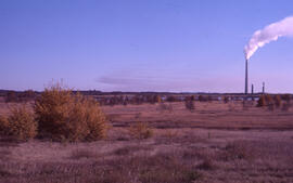
Photograph of a tailings site at Copper Cliff, near Sudbury, Ontario
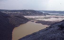
Photograph of a slag heap drainage pond at Coniston, near Sudbury, Ontario
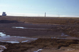
Photograph of an active tailings pond at Copper Cliff, near Sudbury, Ontario
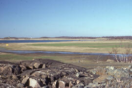
Photograph of sparse vegetation regrowth at a tailings site at Copper Cliff, near Sudbury, Ontario
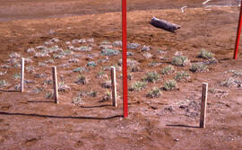
Photograph of a eight months of vegetation regrowth at a small controlled site at Nickel Rim, near Sudbury, Ontario
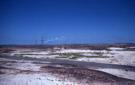
Photograph of an access point to the Coniston mining site, near Sudbury, Ontario
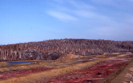
Photograph of red-stained roast bed remnants and hillside tree recovery at Nickel Rim, near Sudbury, Ontario
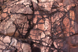
Photograph of red-stained rock face in a roast bed at Nickel Rim, near Sudbury, Ontario
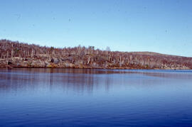
Photograph of vegetation at Richard Lake, 12 kilometres from the Inco superstack at Copper Cliff, near Sudbury, Ontario
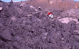
Photograph of an unidentified person examining tailings piles at Copper Cliff, near Sudbury, Ontario
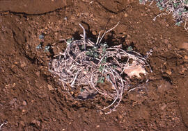
Photograph of controlled stinkweed (Artemisia tilesii) regrowth in a tailings site at Nickel Rim, near Sudbury, Ontario
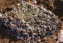
Photograph of controlled stinkweed (Artemisia tilesii) regrowth in a tailings site at Nickel Rim, near Sudbury, Ontario
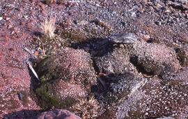
Photograph of an old roast bed after fifty years, Nickel Rim site, near Sudbury, Ontario
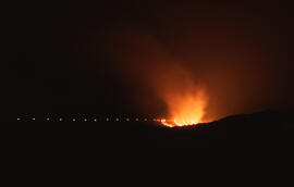
Photograph of slag being poured at the Nickel Rim mining site near Sudbury, Ontario
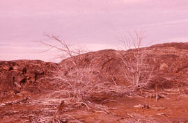
Photograph of red maple at Falconbridge, near Sudbury, Ontario
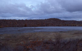
Photograph of a tailings pond at Copper Cliff, near Sudbury, Ontario
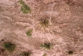
Photograph of Deschampsia grasses growing in tailings near Sudbury, Ontario
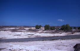
Photograph of houses and flats near the Coniston mining site, near Sudbury, Ontario
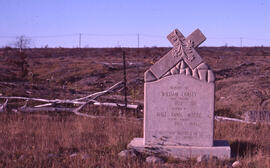
Photograph of a tombstone near the Falconbridge mining site, near Sudbury, Ontario


