Item is a typed report written by Professor C.V. Douglas and N.R. Goodman from the Department of Geology at Dalhousie University based on field work carried out in 1940.
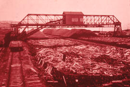
File contains hand-drawn and printed maps of coal fields and designated areas, including Pictou coal fields; the Mining Association area; Cape Breton Company's areas; Albion Mines; Stellar Mine; Fraser Oil-Coal Mines; Intercolonial Coal Mining Company property; East River Mining Company area; Acadian Coal Company areas; and the Halifax Company Ltd.
Fonds consists of documents relating to mining, primarily the Styles Mine in Cumberland County, NS. Records include correspondence, maps, geological surveys and reports. There is also a collection of prose and poetry by John Rutherford and personal family correspondence.
Item is a recording of Barbara Hinds' interview with Mike Bamblett, a bartender in Dawson City, Yukon. Bamblett talks about how he came to Dawson City, his past jobs, and drinking habits in Dawson City.
File contains a reel-to-reel recording of Barbara Hinds interviewing Alan Innes-Taylor. Innes-Taylor talks about how he came to Dawson City, his past employment as a police officer, gold mining, the Gold Rush Festival, and other topics.
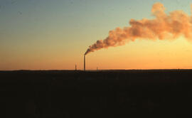
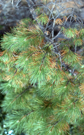
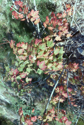
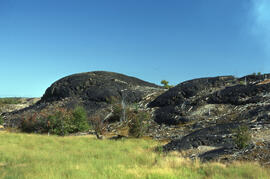
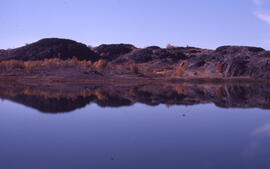
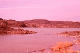
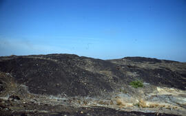
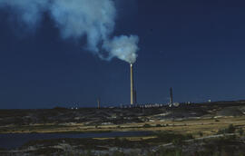
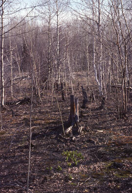
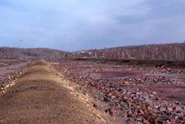
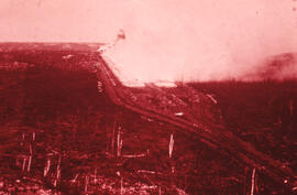
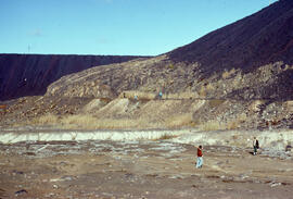
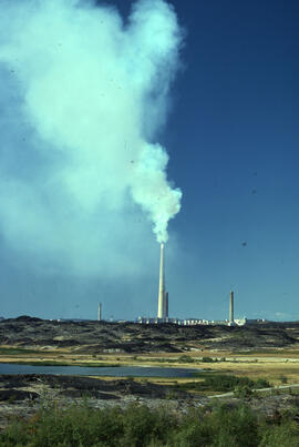
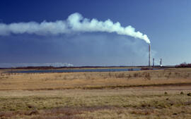
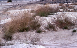
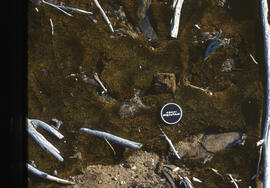
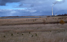
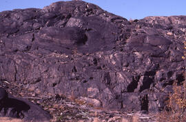
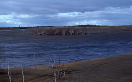
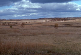
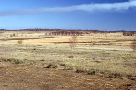
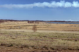
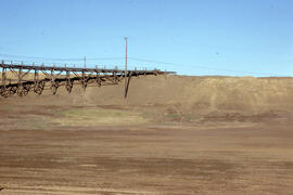
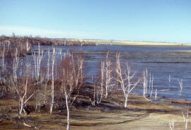
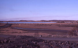
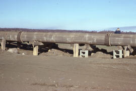
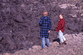
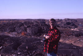
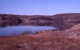
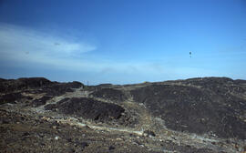
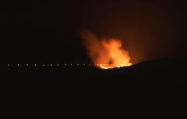
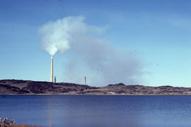
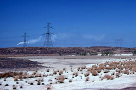
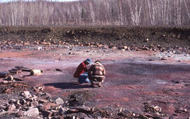
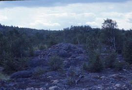
File contains 116 photographs taken by Bill Freedman in the region around Sudbury, Ontario, between 1975 and 1986, as part of his thesis fieldwork. Photographs show slag heaps, roast beds, pollution, plant damage, and mining infrastructure from the Copper Cliff, Coniston, and Falconbridge sites near Sudbury, and flora at the nearby Wanapitei River, Richard Lake, and Burwash sites.
Item is a statement regarding the closure of the A.V. Roe Company in Springhill, Nova Scotia, emphasizing the need to develop new industry, specifically gypsum processing.