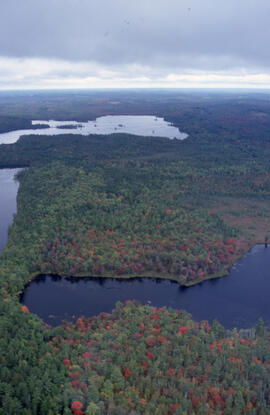
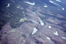
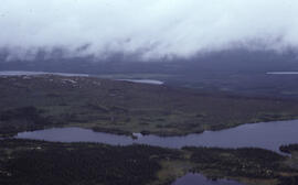
Aerial photograph of mixed Acadian forest near two lakes in the Tobeatic Wilderness Area, southwestern Nova Scotia
Aerial photograph of mixed Acadian forest near two lakes in the Tobeatic Wilderness Area, southwestern Nova Scotia
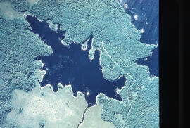
Aerial photograph of Pebbleloggitch Lake, Kejimkujik National Park, Nova Scotia
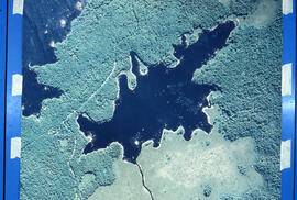
Aerial photograph of Pebbleloggitch Lake, Kejimkujik National Park, Nova Scotia, from a northwestern perspective
Aerial photograph of Point Pleasant Park and the Northwest Arm
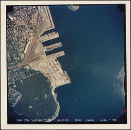
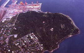
Aerial photograph of Point Pleasant Park and the South End Container Terminal
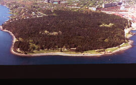
Aerial photograph of Point Pleasant Park, Halifax, Nova Scotia
Aerial photograph of Point Pleasant Park, Halifax, Nova Scotia
Aerial photograph of Point Pleasant Park, the South End of Halifax, and the South End Container Terminal
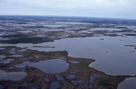
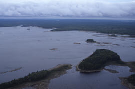
Aerial photograph of ponds on the Great Northern Peninsula, Newfoundland and Labrador
Aerial photograph of ponds on the Great Northern Peninsula, Newfoundland and Labrador
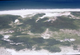
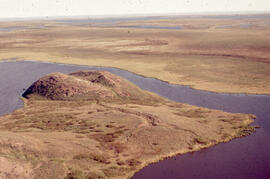
Aerial photograph of Sable Island grasslands
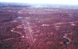
Aerial photograph of seven years of regeneration at a Black spruce (Picea mariana) burn site, near Postville, Newfoundland and Labrador

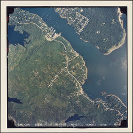
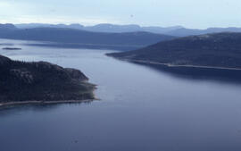
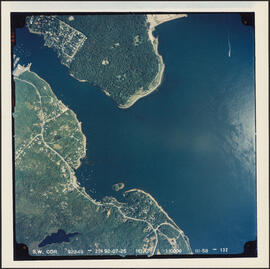
Aerial photograph of Sheet Harbor, Nova Scotia
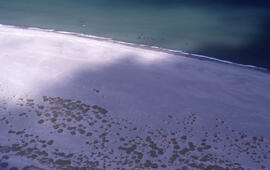
Aerial photograph of sparsely vegetated area of Sable Island
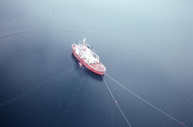
Aerial photograph of the accommodation ship Franklin in Voisey's Bay, Newfoundland and Labrador
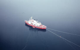
Aerial photograph of the accommodation ship Franklin in Voisey's Bay, Newfoundland and Labrador
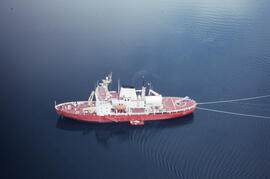
Aerial photograph of the accommodation ship Franklin in Voisey's Bay, Newfoundland and Labrador
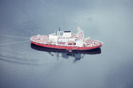
Aerial photograph of the accommodation ship Franklin in Voisey's Bay, Newfoundland and Labrador
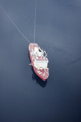
Aerial photograph of the accommodation ship Franklin in Voisey's Bay, Newfoundland and Labrador
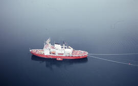
Aerial photograph of the accommodation ship Franklin in Voisey's Bay, Newfoundland and Labrador
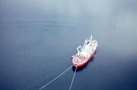
Aerial photograph of the accommodation ship Franklin in Voisey's Bay, Newfoundland and Labrador
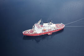
Aerial photograph of the accommodation ship Franklin, Anaktalak Bay, near Voisey's Bay, Newfoundland and Labrador
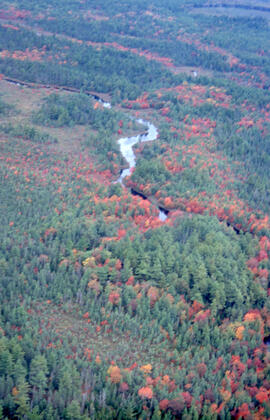
Aerial photograph of the autumnal Acadian forest in the Tobeatic Wilderness Area, southwestern Nova Scotia
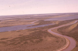
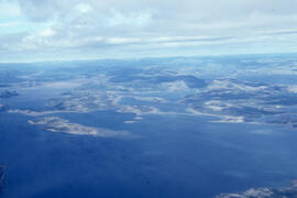
Aerial photograph of the coastline around Voisey's Bay, Newfoundland and Labrador
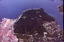
Aerial photograph of the container pier and Point Pleasant Park, Halifax, Nova Scotia
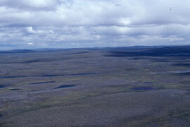
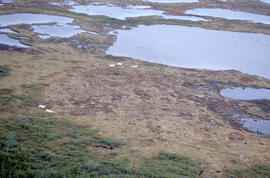
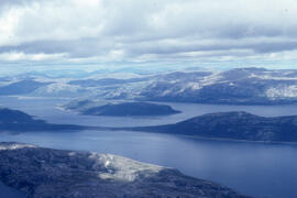
Aerial photograph of the flat tundra of the upland plateau near Voisey's Bay, Newfoundland and Labrador
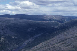
Aerial photograph of the Fraser River canyon, near Voisey's Bay, Newfoundland and Labrador
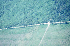
Aerial photograph of the Fundy National Park boundary
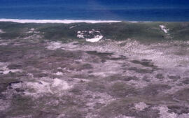
Aerial photograph of the grassy plain in Sable Island
Aerial photograph of the Halifax Harbour approaches south of Point Pleasant Park
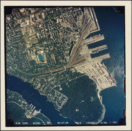
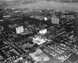
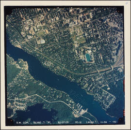
Aerial photograph of the Halifax peninsula
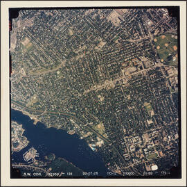
Aerial photograph of the Halifax peninsula
Aerial photograph of the Halifax peninsula
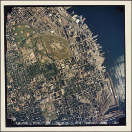
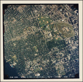
Aerial photograph of the IWK and Dalhousie Carleton campus with Citadel Hill and city centre in the background.
Aerial photograph of the Mackenzie River delta, near Tuktoyaktuk, Northwest Territories
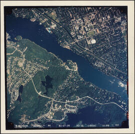
Aerial photograph of the Northwest Arm and Sir Sandford Fleming Park
Aerial photograph of the Northwest Arm and the campuses of Dalhousie University and Saint Mary's University
Aerial photograph of the O'Donnell Roast Bed, southwest of Sudbury, Ontario
Aerial photograph of the station building at the new west lighthouse on Sable Island
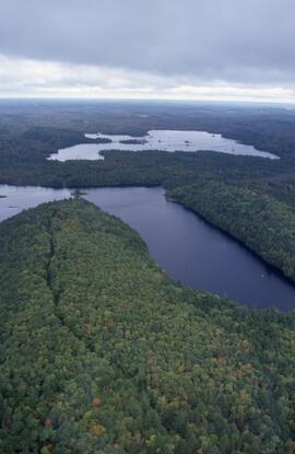
Aerial photograph of Tobeatic Lake, Tobeatic Wilderness Area, southwestern Nova Scotia
Aerial photograph of tundra at 2500 feet near Postville, Newfoundland and Labrador
Aerial photograph of upland tundra and the Voisey Bay coastline, Newfoundland and Labrador
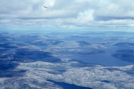
Aerial photograph of upland tundra and the Voisey Bay coastline, Newfoundland and Labrador
Aerial photograph of upland tundra and the Voisey Bay coastline, Newfoundland and Labrador
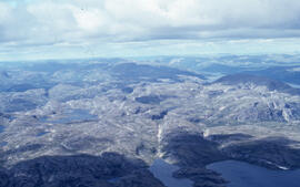
Aerial photograph of upland tundra near Voisey's Bay, Newfoundland and Labrador
Aerial photograph showing a collapsing pingo, Tuktoyaktuk Peninsula, Northwest Territories
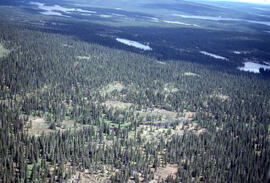
Aerial photograph showing Black spruce (Picea mariana) woodlands, near Postville, Newfoundland and Labrador
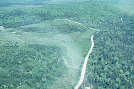
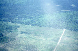
Aerial photograph showing the boundary between an Irving forest plantation and Fundy National Park
Aerial photograph showing the Fundy National Park boundary