Print preview Close
Showing 983 results
Archival Description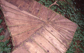
Photograph of a wooden trail platform in the Tobeatic Wilderness Area, southwestern Nova Scotia
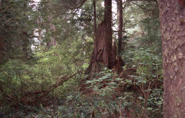
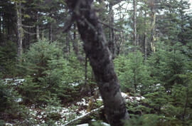
Photograph of Acadian forest understory in the Tobeatic Wilderness Area, southwestern Nova Scotia
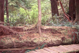
Photograph of Acadian forest understory in the Tobeatic Wilderness Area, southwestern Nova Scotia
Photograph of Acadian forest understory in the Tobeatic Wilderness Area, southwestern Nova Scotia
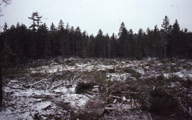
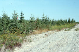
Photograph of advancing fir regeneration at a clearcut site near Corner Brook, Newfoundland
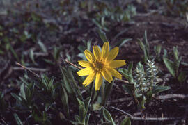
Photograph of Alpine arnica (Arnica alpina) near Tuktoyaktuk, Northwest Territories
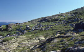
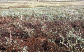
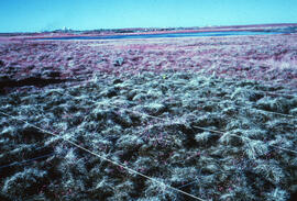
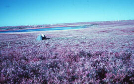
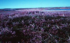
Photograph of altitudinal coastal tundra near Postville, Newfoundland and Labrador
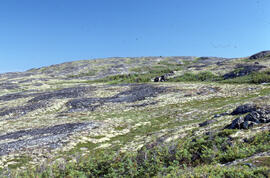
Photograph of altitudinal coastal tundra near Postville, Newfoundland and Labrador
Photograph of an 0.5 hectare all-aged softwood conventional clear cut, Aylesford Lake, Kings County, Nova Scotia
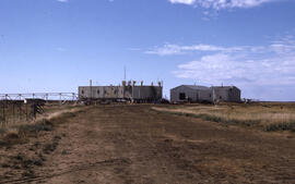
Photograph of an abandoned DEW Line site (now a reindeer herding station) at Atkinson Point, Tuktoyaktuk Peninsula, Northwest Territories
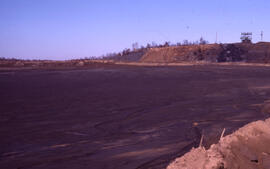
Photograph of an access point to the Coniston mining site, near Sudbury, Ontario
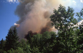
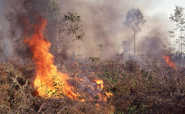
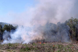
Photograph of an active forest fire in La Mauricie National Park
Photograph of an active forest fire in La Mauricie National Park
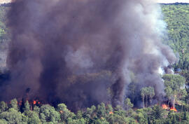
Photograph of an active forest fire in La Mauricie National Park, Quebec
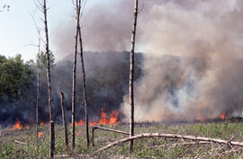
Photograph of an active forest fire in La Mauricie National Park, Quebec
Photograph of an active forest fire in La Mauricie National Park, Quebec
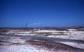
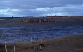
Photograph of an active tailings pond and slag heaps at the Coniston site, near Sudbury, Ontario
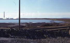
Photograph of an active tailings pond at Copper Cliff, near Sudbury, Ontario
Photograph of an active tailings pond at Copper Cliff, near Sudbury, Ontario
Photograph of an active tailings pond at Copper Cliff, near Sudbury, Ontario
Photograph of an active tailings pond at the Copper Cliff site, near Sudbury, Ontario
Photograph of an active tailings pond at the Copper Cliff site, near Sudbury, Ontario
Photograph of an active tailings site at Copper Cliff, near Sudbury, Ontario
Photograph of an active tailings site at Copper Cliff, near Sudbury, Ontario

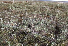
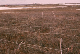
Photograph of an alder-dominated unsprayed reference plot, Little River Lake site, Kings County, Nova Scotia
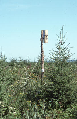
Photograph of an artificial cavity in a spruce plantation, Greater Fundy Ecosystem, New Brunswick
Photograph of an artificial cavity in a spruce plantation, Greater Fundy Ecosystem, New Brunswick
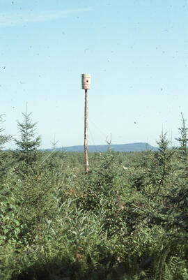
Photograph of an artificial cavity in a spruce plantation, Greater Fundy Ecosystem, New Brunswick
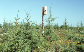
Photograph of an artificial cavity in a spruce plantation, Greater Fundy Ecosystem, New Brunswick
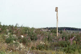
Photograph of an eight-year-old spruce plantation, Greater Fundy Ecosystem, New Brunswick
Photograph of an empty petri dish near a spray plot edge near Riverside site, central Nova Scotia
Photograph of an "engineer's soil pit" one month after spill, likely near Norman Wells, Northwest Territories
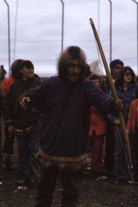
Photograph of an Innu archer at the 1974 Northern Games, Tuktoyaktuk, Northwest Territories
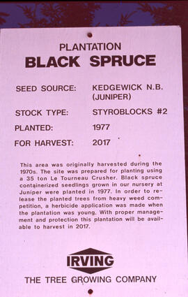
Photograph of an Irving Black spruce plantation at Kedgewick, New Brunswick
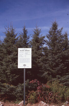
Photograph of an Irving Black spruce plantation sign, Kedgewick (Juniper), New Brunswick
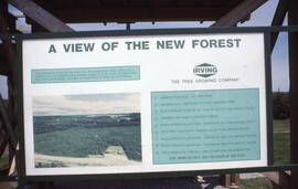
Photograph of an Irving plantation sign with panorama image and legend, near Fundy National Park, southern New Brunswick
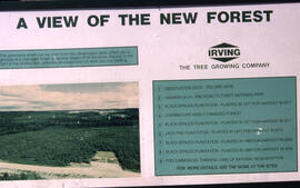
Photograph of an Irving plantation sign with panorama image and legend, northern New Brunswick
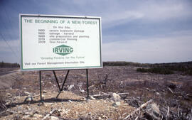
Photograph of an Irving sign at a nearly prepared clearcut site near Fundy National Park, New Brunswick
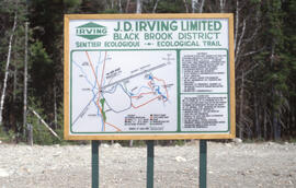
Photograph of an Irving Woodlands Trail sign at Basley and Little River Road, Irving Black Brook District, northwestern New Brunswick
Photograph of an oiled control area at the Pingo site, near Tuktoyaktuk, Northwest Territories
Photograph of an old roast bed after fifty years, Nickel Rim site, near Sudbury, Ontario
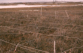
Photograph of an overview of regrowth at the Lupin control site, near Tuktoyaktuk, Northwest Territories
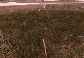
Photograph of an overview of regrowth at the Lupin spill site, near Tuktoyaktuk, Northwest Territories
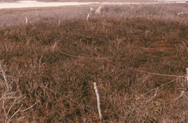
Photograph of an overview of regrowth at the Lupin spill site, near Tuktoyaktuk, Northwest Territories
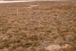
Photograph of an overview of regrowth at the Meadow site, near Tuktoyaktuk, Northwest Territories
Photograph of an overview of regrowth at the Pingo control site, near Tuktoyaktuk, Northwest Territories
Photograph of an overview of regrowth in the southwest corner of the Meadow summer site, near Tuktoyaktuk, Northwest Territories
Photograph of an overview of the Lupin control site, near Tuktoyaktuk, Northwest Territories
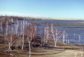
Photograph of an overview of the Meadow spill site, near Tuktoyaktuk, Northwest Territories
Photograph of an overview of the oiled Pingo control site, near Tuktoyaktuk, Northwest Territories
Results 201 to 250 of 983