Print preview Close
Showing 992 results
Archival Description992 results with digital objects Show results with digital objects
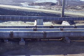
Photograph of wooden corrosion-resistant tailing slurry pipes, Copper Cliff, near Sudbury, Ontario
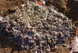
Photograph of controlled stinkweed (Artemisia tilesii) regrowth in a tailings site at Nickel Rim, near Sudbury, Ontario
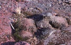
Photograph of an old roast bed after fifty years, Nickel Rim site, near Sudbury, Ontario
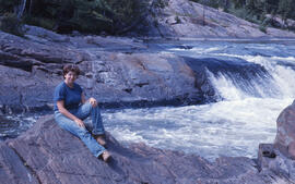
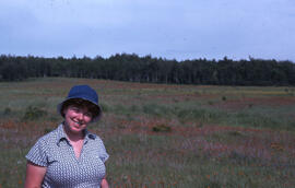
Photograph of Lynne Brennan sitting on the shore of the Wanapitei River, near Sudbury, Ontario
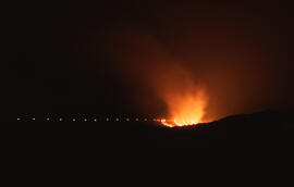
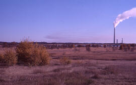
Photograph of slag being poured at the Nickel Rim mining site near Sudbury, Ontario
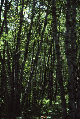
Photograph of white birch at Richard Lake, near Sudbury, Ontario
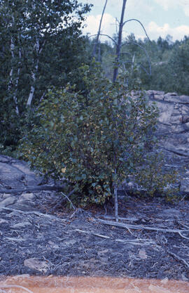
Photograph of red maple at Falconbridge, near Sudbury, Ontario
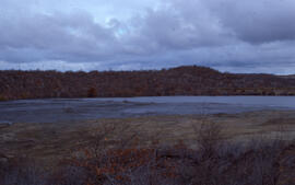
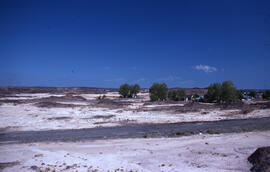
Photograph of a tailings pond at Copper Cliff, near Sudbury, Ontario
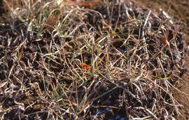
Photograph of Deschampsia grasses growing in tailings near Sudbury, Ontario
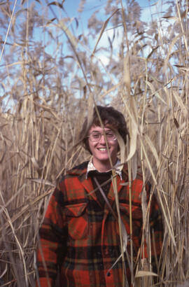
Photograph of an unidentified person standing in a growth of common reed (Phragmites communis) at Coniston, near Sudbury, Ontario
Photograph of houses and flats near the Coniston mining site, near Sudbury, Ontario
Photograph of an active tailings pond at Copper Cliff, near Sudbury, Ontario
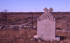
Photograph of a tombstone near the Falconbridge mining site, near Sudbury, Ontario
Photograph of slag heaps near a denuded slope junction, Coniston mining site, near Sudbury, Ontario
Photograph of wideleaf polargrass (Arctagrostis latifolia) growing in a slag heap at a tailings site at Nickel Rim, near Sudbury, Ontario
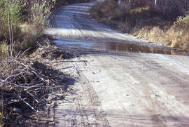
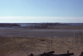
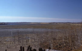
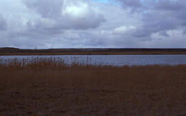
Photograph of a flooded access road to the Burwash mining site, near Sudbury, Ontario
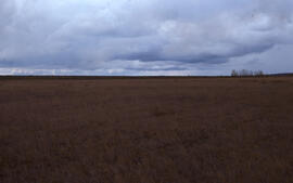
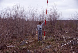
Photograph of Lynne Brennan standing in a field near the Burwash site, near Sudbury, Ontario
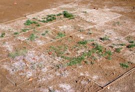
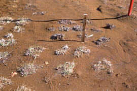
Photograph of tailings plant growth experiments without using a gravel base, Nickel Rim, near Sudbury, Ontario
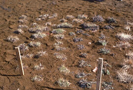
Photograph of controlled plant growth with slag heap material at a tailings site at Nickel Rim, near Sudbury, Ontario
Photograph of an active tailings pond at Copper Cliff, near Sudbury, Ontario
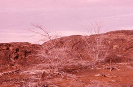
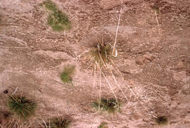
Photograph of sparse mugwort (Artemesia) growing at a tailings site at Nickel Rim, near Sudbury, Ontario
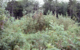
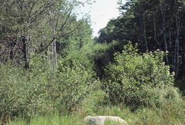
Photograph of natural reclamation of a tailings site at Falconbridge, near Sudbury, Ontario
Photograph of natural reclamation of a tailings site at Falconbridge, near Sudbury, Ontario
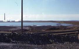
Photograph of an active tailings site at Copper Cliff, near Sudbury, Ontario
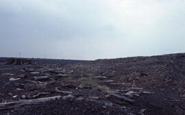
Photograph of a tailings site at Copper Cliff, near Sudbury, Ontario
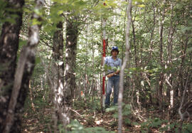
Photograph of an unidentified researcher conducting stemflow measurements at an unidentified central Nova Scotian site
Photograph of a truck spraying Rhodamine 245-T at thick brush at the Riverside site, central Nova Scotia
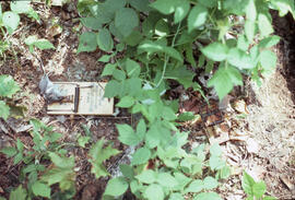
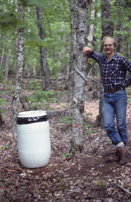
Photograph of small mammal snap traps in action, Riverside site, central Nova Scotia
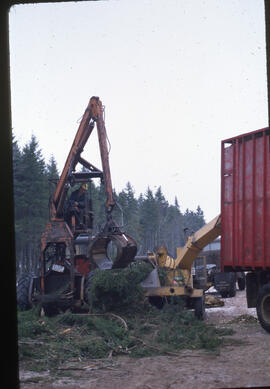
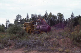
Photograph of logging machinery performing clear-cutting at Aylesford Lake, Kings County, Nova Scotia
Photograph of researchers conducting stemflow measurements at an unidentified central Nova Scotian site
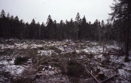
Photograph of a conventional five hectare softwood clear cut at Aylesford Lake, Kings County, Nova Scotia
Photograph of researchers conducting throughfall measurements at an unidentified central Nova Scotian site
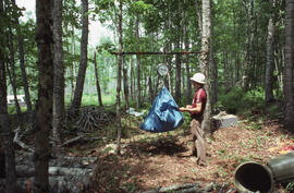
Photograph of an unidentified researcher weighing gathered foliage at an unidentified central Nova Scotian site
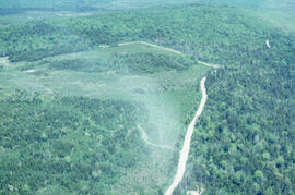
Aerial photograph showing the boundary between an Irving forest plantation and Fundy National Park
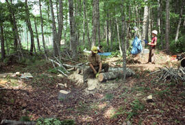
Photograph of three unidentified researchers taking disc sub-samples of felled trees, likely at Aylesford Lake, Kings County, Nova Scotia
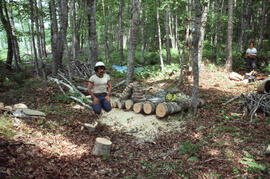
Photograph of Bill Freedman kneeling near weighed logs and disc sub-samples, likely at Aylesford Lake, Kings County, Nova Scotia
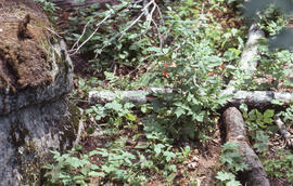
Photograph of small mammal snap traps in action, Riverside site, central Nova Scotia
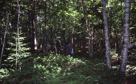
Photograph of an unidentified researcher conducting forest biomass measurements at Plot 1, a three-year-old clear-cut, Riverside site, central Nova Scotia
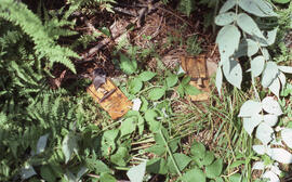
Photograph of small mammal snap traps in action, Riverside site, central Nova Scotia
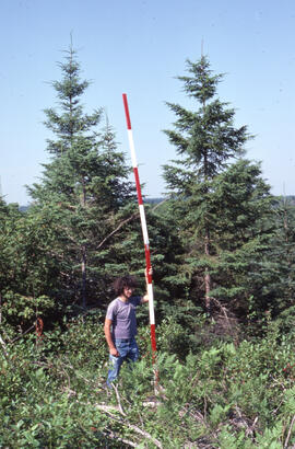
Photograph of an unidentified researcher making forest biomass measurements at a forty-year-old birch stand, Site 7, at an unidentified central Nova Scotian location
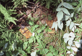
Photograph of small mammal snap traps in action, Riverside site, central Nova Scotia
Photograph of small mammal snap traps in action, Riverside site, central Nova Scotia
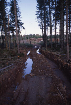
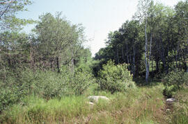
Photograph of a muddy two-track road cleared of fallen tree limbs, near Shubenacadie, Nova Scotia
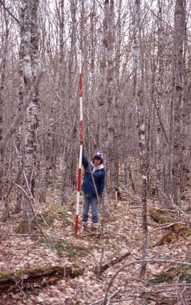
Photograph of an unidentified researcher making forest biomass measurements at a six-year-old birch stand, Site D, at an unidentified central Nova Scotian location
Photograph of forest biomass at Site 4, Plot 16, a fifty-year-old stand, at an unidentified central Nova Scotian location
Photograph of red maple (Acer rubrum) stump sprout regrowth, likely at the Riverside site, central Nova Scotia
Photograph of forest biomass growth at Plot 2, a four-year-old strip cut range, Riverside site, central Nova Scotia
Photograph of forest biomass growth at Plot 2, a four-year-old strip cut range, Riverside site, central Nova Scotia
Photograph of an unidentified researcher conducting forest biomass measurements at Plot I, an unidentified central Nova Scotian site
Photograph of an unidentified researcher conducting forest biomass measurements at Plot 8, a control stand, Riverside site, central Nova Scotia
Results 201 to 250 of 992