Evaluation of loading of sulphate and heavy metals along a S-SE transect centering on Sudbury, Ontario ; Evaluation of sulphate and heavy metal loading rates and total sulphation as affected by forest canopies near Sudbury, Ontario ; Effects of smelter emissions on surrounding forest plant communities near Sudbury, Ontario : [manuscript and correspondence]
Photographs of birds at the Headland site, Toronto
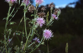
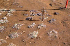
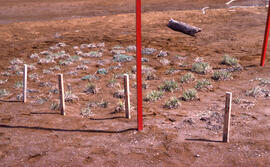
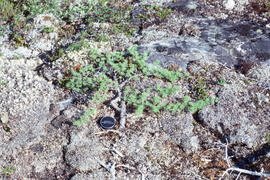
Photograph of a eight months of vegetation regrowth at a small controlled site at Nickel Rim, near Sudbury, Ontario
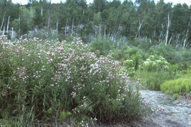
Photograph of an old roast bed after fifty years, Nickel Rim site, near Sudbury, Ontario
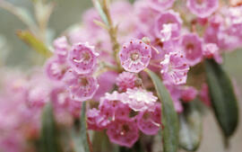
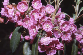
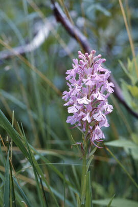
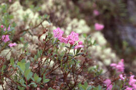
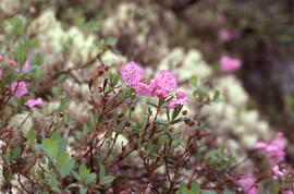
Photograph of Bog laurel (Kalmia polifolia) near Postville, Newfoundland and Labrador
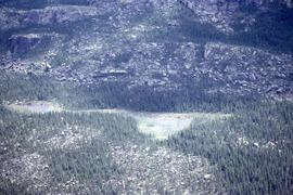
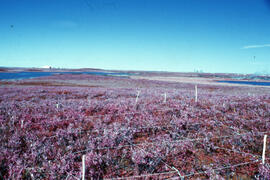
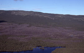
Aerial photograph of a Black spruce (Picea mariana) burn site after seven years of regrowth, near Postville, Newfoundland and Labrador
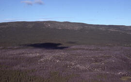
Aerial photograph of a patterned rocky fen near Postville, Newfoundland and Labrador
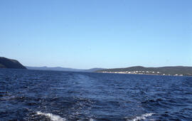
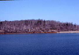
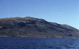
Photograph showing Postville, Newfoundland and Labrador from the middle of Kaipokok Bay
Photograph of Brittle-pointed iris (Iris setosa) near beachland at Michelin Lake, Newfoundland and Labrador
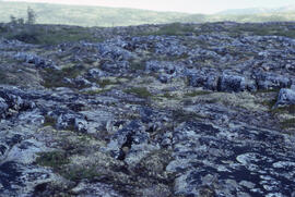
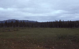
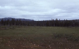
Photograph of barrens at 500-foot elevation near Michelin Lake, Newfoundland and Labrador
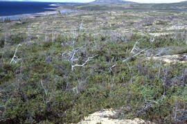
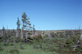
Photograph of Krummholz Zone tundra near Postville, Newfoundland and Labrador
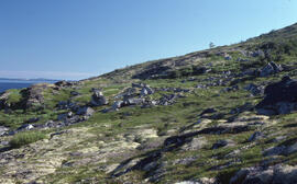
Photograph of altitudinal coastal tundra near Postville, Newfoundland and Labrador
Photograph of stunted tamarack (Larix laricina) with size reference on Long Island, near Postville, Newfoundland and Labrador
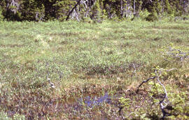
Photograph of a rich fen near Postville, Newfoundland and Labrador
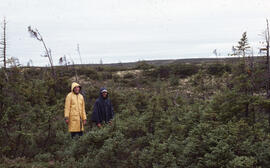
Photograph of two unidentified people standing in a sparse Krummholz Zone area, Postville, Newfoundland and Labrador
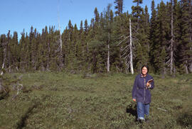
Photograph of an unidentified person standing in a fen near Postville, Newfoundland and Labrador
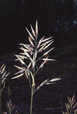
Photograph of a fen rich in Deergrass (Scirpus caespitosus) near Postville, Newfoundland and Labrador
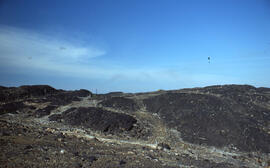
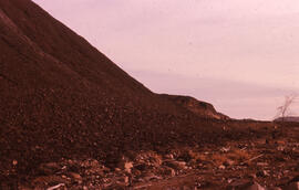
Photograph of slag heaps at Coniston site, near Sudbury, Ontario
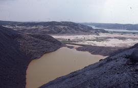
Photograph of a receding receiving pond showing iron precipitate pollution at Nickel Rim site, near Sudbury, Ontario
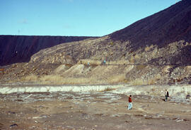
Photograph of unidentified researchers standing at the base of slag heaps at the Coniston site, near Sudbury, Ontario
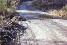
Photograph of a flooded access road to the Burwash mining site, near Sudbury, Ontario
Photograph of regrowth at the Pingo control site, near Tuktoyaktuk, Northwest Territories
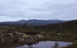
Photograph of a basin bog near Postville, Newfoundland and Labrador
Photograph of Black spruce (Picea mariana) near Michelin Lake, Postville, Newfoundland and Labrador
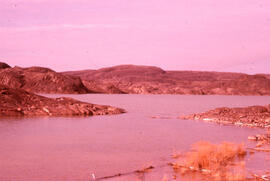
Photograph of Long Island from Kaipokok Bay near Postville, Newfoundland and Labrador
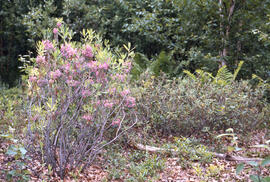
Photograph of Bog laureal (Kalmia polifolia) near Postville, Newfoundland and Labrador
Photograph of Black spruce (Picea mariana) regeneration near a burn site after seven years, near Postville, Newfoundland and Labrador
Photograph of a fen containing Sheathed cotton-grass (Eriophorum vaginatum var. spissum) and Deergrass (Scirpus caespitosus) near Postville, Newfoundland and Labrador
Photograph of sparse Black spruce (Picea mariana) on Long Island near Postville, Newfoundland and Labrador
Photograph of a fen containing Sheathed cotton-grass (Eriophorum vaginatum var. spissum) and Deergrass (Scirpus caespitosus) near Postville, Newfoundland and Labrador
Photograph of slag heaps at Coniston site, near Sudbury, Ontario
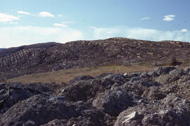
Photograph of exposed bedrock at the Coniston site, near Sudbury, Ontario
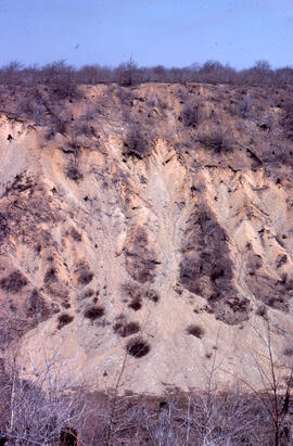
Photograph of cliff erosion at the Falconbridge site, near Sudbury, Ontario
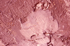
Photograph of a roast bed at the Falconbridge site, near Sudbury, Ontario
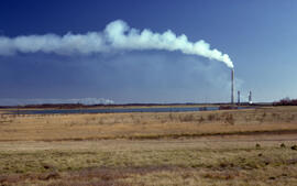
Photograph of the revegetation of a former tailings area near the Inco Superstack at the Copper Cliff site, near Sudbury, Ontario
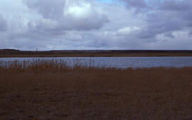
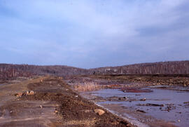
Photograph of Baby Lake, Coniston site, near Sudbury, Ontario