Print preview Close
Showing 1015 results
Archival Description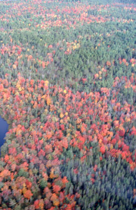
Aerial photograph of autumnal mixed-growth forest in the Tobeatic Wilderness Area, southwestern Nova Scotia
Aerial photograph of autumnal mixed-growth forest in the Tobeatic Wilderness Area, southwestern Nova Scotia
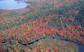
Aerial photograph of Tobeatic Lake, Tobeatic Wilderness Area, southwestern Nova Scotia
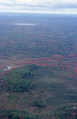
Aerial photograph of autumnal Acadian forest in the Tobeatic Wilderness Area, southwestern Nova Scotia
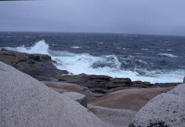
Photograph of crashing waves on the South Shore of Nova Scotia
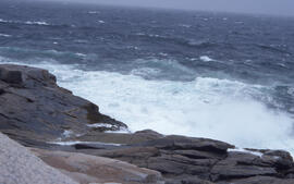
Photograph of crashing waves on the South Shore of Nova Scotia
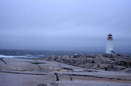
Wide-angle photograph of five unidentified persons standing on the rocks near Peggys Cove Lighthouse
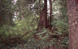
Photograph of Acadian forest understory in the Tobeatic Wilderness Area, southwestern Nova Scotia

Photograph of understory in the Acadian forest of the Tobeatic Wilderness Area, southwestern Nova Scotia
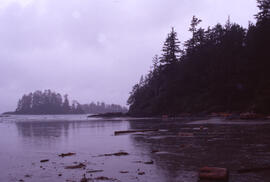
Photograph of the wooded shore of a lake in the Tobeatic Wilderness Area, southwestern Nova Scotia
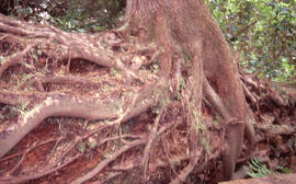
Photograph of understory in the Acadian forest of the Tobeatic Wilderness Area, southwestern Nova Scotia
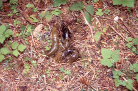
Photograph of three Arion subfuscus (Western dusky slugs) in the Tobeatic Wilderness Area, southwestern Nova Scotia
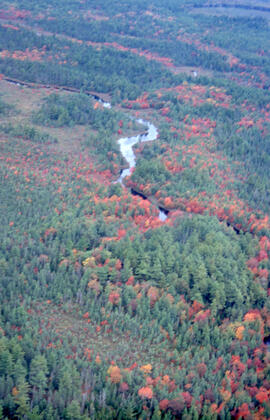
Aerial photograph of the autumnal Acadian forest in the Tobeatic Wilderness Area, southwestern Nova Scotia
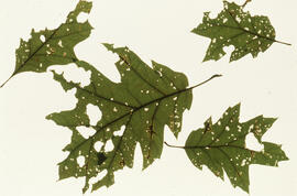
Photograph of red oak leaf damage from acidic particulates, near the Tufts Cove generating station, Dartmouth, Nova Scotia
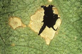
Photograph of cucumber plant leaf damage from acidic particulates, near the Tufts Cove generating station, Dartmouth, Nova Scotia
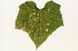
Photograph of cucumber plant leaf damage from acidic particulates, near the Tufts Cove generating station, Dartmouth, Nova Scotia
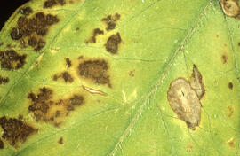
Photograph of tomato plant leaf damage from acidic particulates, near the Tufts Cove generating station, Dartmouth, Nova Scotia
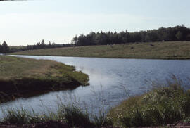
Photograph of the Goose Creek tidal pond, Lunenburg County, Nova Scotia
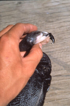
Photograph of an unidentified person holding a Double-crested cormorant chick at Lake Winnipegosis, western Manitoba
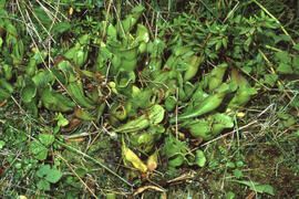
Photograph of carnivorous purple pitcher plant (Sarracinea purpurea) in Newfoundland
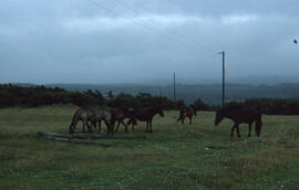
Photograph of wild horses at Gros Morne National Park, Newfoundland and Labrador
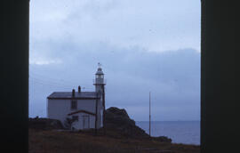
Photograph of Lobster Cove Head Lighthouse, Gros Morne National Park, Newfoundland and Labrador
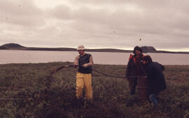
Photograph of Bill Freedman and two other researchers creating a control oil spill near Tuktoyaktuk, Northwest Territories
Photograph of regrowth at the Pingo control site, near Tuktoyaktuk, Northwest Territories
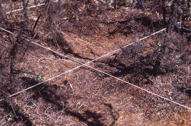
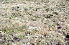
Photograph of minimal regrowth at the burnt forest spill site after one year, near Tuktoyaktuk, Northwest Territories
Photograph of lush regrowth at the Lupin site near Tuktoyaktuk, Northwest Territories
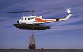
Photograph of Bill Freedman guiding a helicopter dropping off oil barrels at a control test site, Northwest Territories
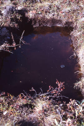
Photograph of an "engineer's soil pit" one month after spill, likely near Norman Wells, Northwest Territories
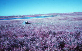
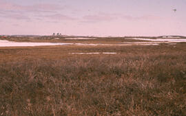
Photograph of an overview of the Meadow spill site, near Tuktoyaktuk, Northwest Territories
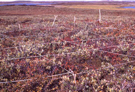
![Photograph of detailed regrowth at the [Meadow] winter spill site, near Tuktoyaktuk, Northwest Te...](/uploads/r/dalhousie-university-archives/b/a/d/bad172c3e45dcda0993f07c04c1ec5de87bba600d1d55e181416542fe0f0027d/0642533f-2c27-4bb6-978b-e3371f4f1fe7-MS-2-789_11_19_040_142.jpg)
Photograph of detailed regrowth at the [Meadow] winter spill site, near Tuktoyaktuk, Northwest Territories
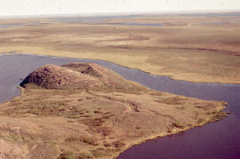
Aerial photograph showing a collapsing pingo, Tuktoyaktuk Peninsula, Northwest Territories
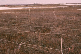
Photograph of the Salix (willow) hill control site, one month after spill, near Tuktoyaktuk, Northwest Territories
Photograph of an overview of the Lupin control site, near Tuktoyaktuk, Northwest Territories
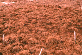
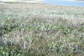
Photograph of regrowth at an unidentified spill site near Tuktoyaktuk, Northwest Territories
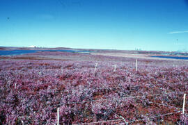
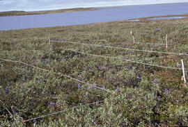
Photograph of regrowth at the Meadow summer spill site, near Tuktoyaktuk, Northwest Territories
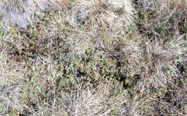
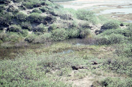
Photograph of regrowth at the meadow control site near Tuktoyaktuk, Northwest Territories
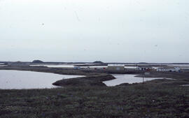
Photograph of the Polar Continental Shelf Program (PCSP), Tuktoyaktuk field station, Northwest Territories
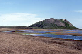
Photograph of Split Pingo near Tuktoyaktuk, Northwest Territories
Photograph of regrowth at the Pingo spray plot near Tuktoyaktuk, Northwest Territories
Photograph of regrowth at the meadow summer spill site near Tuktoyaktuk, Northwest Territories
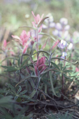
Photograph of Raup's Indian paintbrush (Castilleja raupii) near Tuktoyaktuk, Northwest Territories
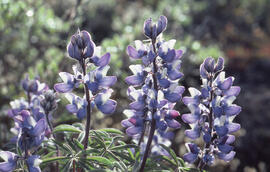
Photograph of Arctic lupine (Lupinus arcticus) near Tuktoyaktuk, Northwest Territories
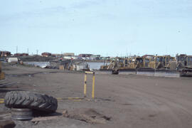
Photograph of parked excavation equipment on the outskirts of Tuktoyaktuk, Northwest Territories
Photograph of a small meltwater pond on top of Split Pingo near Tuktoyaktuk, Northwest Territories
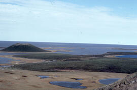
Photograph of scenery on the Tuktoyaktuk Peninsula from the top of Split Pingo
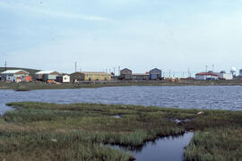
Photograph of Tuktoyaktuk, Northwest Territories
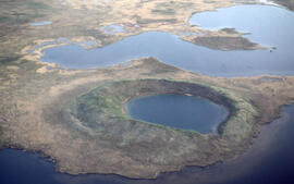
Aerial photograph of a collapsed pingo on the Tuktoyaktuk Peninsula, Northwest Territories
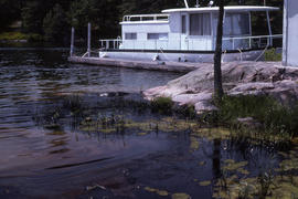
Photograph of oil and cladophora along the shore at Alexandria Bay, New York
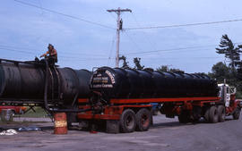
Photograph of an oil pollution control tanker truck at Alexandria Bay, New York
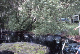
Photograph of oil along the shore at Alexandria Bay, New York
Results 151 to 200 of 1015