File contains 20 photographs taken by Bill Freedman at Crawford Lake and Crawford Bog (near Burlington, Ontario), between 1973 and 1976. Photographs are predominantly of Cypripedium reginae.
File contains 72 photographs taken by Bill Freedman on a trip to Tuktoyaktuk, Northwest Territories, in late 1990. Photographs show ground vegetation and forest scenes.
File contains 31 transparencies created and used as teaching aids by Bill Freedman during the 1990s. Transparencies show maps of Canada and Nova Scotia, as well as charts of data, and are drawn largely from the National Atlas of Canada.
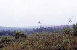
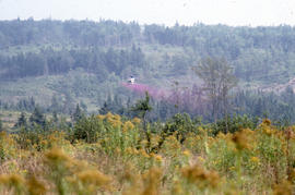
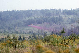
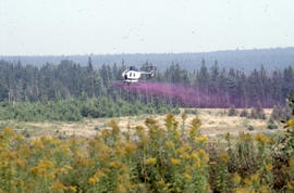
File contains 12 photographs taken by Bill Freedman near Corner Brook, Newfoundland, in 1992. Photographs show forestry operations and equipment (grapple yarders, and skidders), and evidence of deforestation in the area.
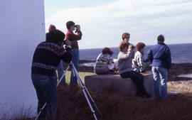
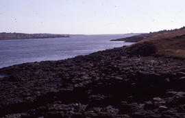
File contains 45 photographs taken by Bill Freedman on a hiking trip along the Gaff Point trail in Lunenburg County, Nova Scotia, in 2001. Photographs show trees in the area, as well as coastal scenes.
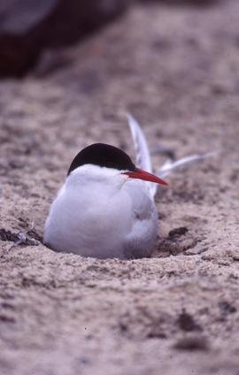
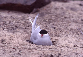
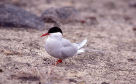
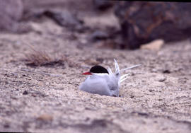
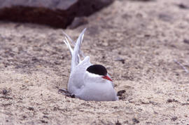
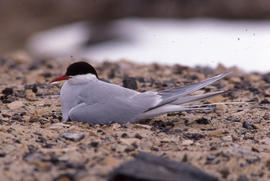
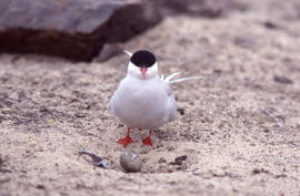
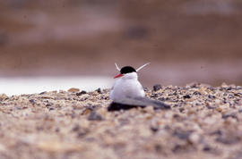
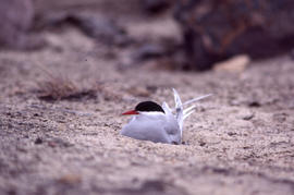
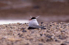
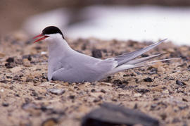
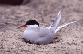
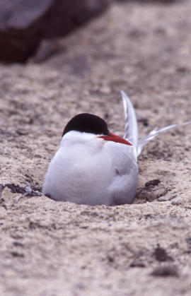
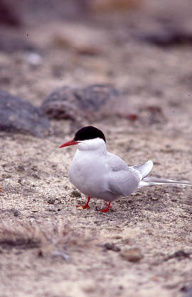
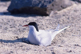
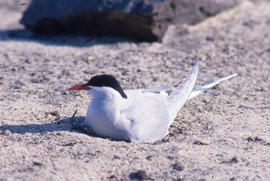
File contains 70 photographs taken by Bill Freedman at Alexandra Fiord, Ellesmere Island, over successive summers in 1980 and 1981. Photographs show Arctic tern, on the ground, at nesting sites.
File contains 67 photographs taken by Bill Freedman at Alexandra Fiord, Ellesmere Island, in 1981 and 1982. Photographs show Parasitic jaeger at nesting sites along the fjord.
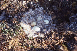
File contains 8 photographs taken by Bill Freedman at Eureka weather station and Alexandra Fiord, Ellesmere Island, in 1980. Photographs show Long-tailed jaeger in flight and on the ground.
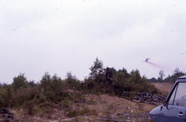
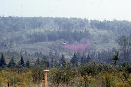
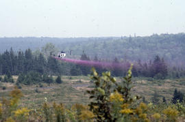
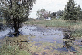
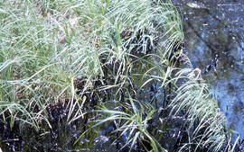
File contains 20 photographs taken by Bill Freedman at Harrowby Bay (near Tuktoyaktuk), from 1974 to 1975. Photographs document containment efforts after a small oil spill.
File contains 74 photographs taken by Bill Freedman in the Smoking Hills region of Cape Bathurst, Northwest Territories, on multiple visits between 1974 and 1990. Photographs show the scenery of the region, including smoke seepage vents, elemental sulfur deposits, and caribou herd.
File contains 8 transparencies created by Bill Freedman, likely in the early-1980s. Transparencies provide data related to the effects of an oil spill on vegetation (based on Freedman's 1974 fieldwork near Tuktoyaktuk).
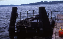
File contains 77 photographs taken by Bill Freedman at Sable Island, Nova Scotia, over several visits between 1981 and 1982. Photographs show vegetation, brackish ponds, aerial surveys, wild horses, as well as some of the researchers. File also includes 3 transparencies.
File contains 116 photographs taken by Bill Freedman in the region around Sudbury, Ontario, between 1975 and 1986, as part of his thesis fieldwork. Photographs show slag heaps, roast beds, pollution, plant damage, and mining infrastructure from the Copper Cliff, Coniston, and Falconbridge sites near Sudbury, and flora at the nearby Wanapitei River, Richard Lake, and Burwash sites.
File contains 28 photographs taken by Bill Freedman in 1979 at several locations in the area around the Sverdrup Pass, central Ellesmere Island. Photographs show lowland wet meadows, glacial granite erratics, the glacial divide, and some flora.
File contains 27 photographs taken by Bill Freedman during two visits to Tuktoyaktuk, Northwest Territories, in 1973 and 1974. Photographs show birds in the area around Tuktoyaktuk, including Semipalmated plover, Whimbrel, Stilt sandpipers, Common eider, and Lapland longspur.