Print preview Close
Showing 815 results
Archival Description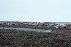
Photograph of the hamlet of Tuktoyaktuk, Northwest Territories
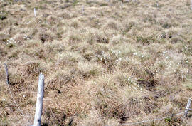
Photograph of regrowth at the meadow control site near Tuktoyaktuk, Northwest Territories
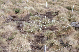
Photograph of regrowth at the meadow winter spill site near Tuktoyaktuk, Northwest Territories
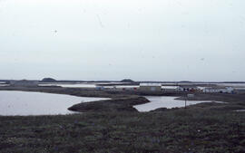
Photograph of the Polar Continental Shelf Program (PCSP), Tuktoyaktuk field station, Northwest Territories
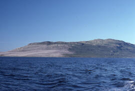
Photograph of Long Island, near Postville, Newfoundland and Labrador
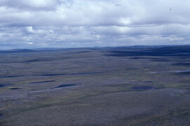
Aerial photograph of the flat tundra of the upland plateau near Voisey's Bay, Newfoundland and Labrador
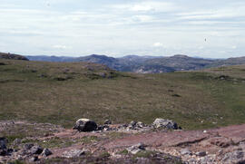
Photograph of upland tundra near Voisey's Bay, Newfoundland and Labrador
Photograph of upland tundra near Voisey's Bay, Newfoundland and Labrador
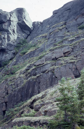
Photograph of a steep cliff face with hardy tundra plants, near Voisey's Bay, Newfoundland and Labrador

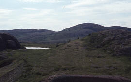
Photograph of an unidentified pond in an upland tundra area near Voisey's Bay, Newfoundland and Labrador
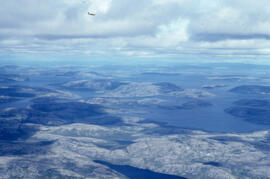
Aerial photograph of upland tundra and the Voisey Bay coastline, Newfoundland and Labrador
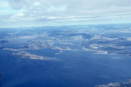
Aerial photograph of upland tundra and the Voisey Bay coastline, Newfoundland and Labrador
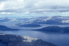
Aerial photograph of upland tundra and the Voisey Bay coastline, Newfoundland and Labrador
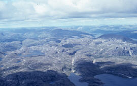
Aerial photograph of upland tundra near Voisey's Bay, Newfoundland and Labrador
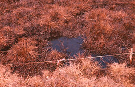
Photograph of detailed vegetation damage at the winter spill site, near Tuktoyaktuk, Northwest Territories
Results 801 to 815 of 815