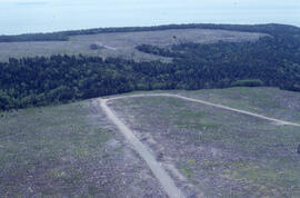
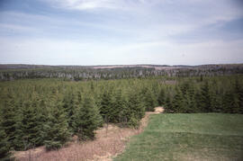
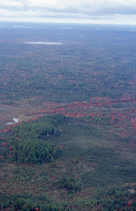
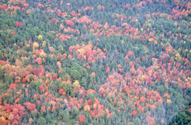
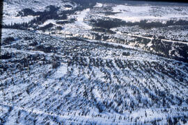
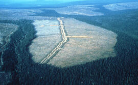
Aerial photograph of a regenerating plantation near Fundy National Park, New Brunswick
- MS-2-789, Box 14, Folder 23, Item 59
- Item
- June 1996
Part of Bill Freedman fonds
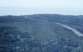
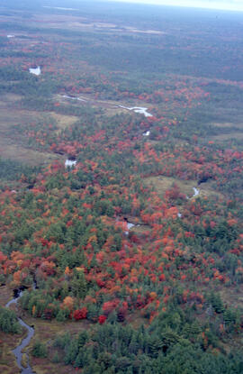
Aerial photograph of a regenerating plantation near Fundy National Park, New Brunswick
Part of Bill Freedman fonds
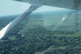
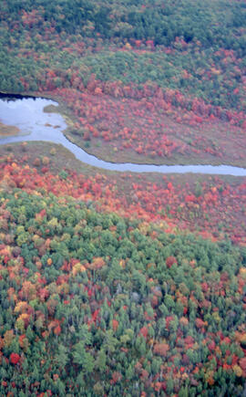
Aerial photograph of a regenerating plantation near Fundy National Park, New Brunswick
Part of Bill Freedman fonds
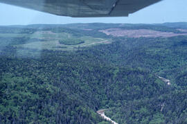
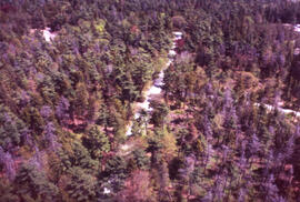
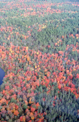
Aerial photograph of a regenerating spruce plantation near Fundy National Park, New Brunswick
Part of Bill Freedman fonds
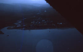
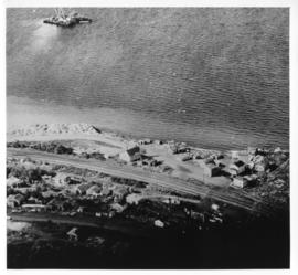
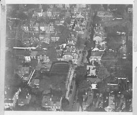
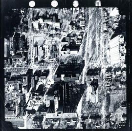
Aerial photograph of a small town
Part of Barbara Hinds fonds
Part of Bill Freedman fonds
Part of Bill Freedman fonds
Part of Bill Freedman fonds
Part of Bill Freedman fonds
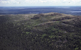
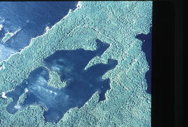
Aerial photograph of a young pingo on the Tuktoyaktuk Peninsula
Part of Bill Freedman fonds
Aerial photograph of Africville
Part of Bill Freedman fonds
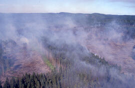
Aerial photograph of an active forest fire in La Mauricie National Park
Part of Bill Freedman fonds
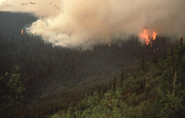
Aerial photograph of an active forest fire near Dawson City, Yukon Territory
Part of Bill Freedman fonds
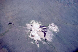
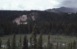
Aerial photograph of an old oil rig drilling site, Mackenzie River delta, Northwest Territories
Part of Bill Freedman fonds

Aerial photograph of Arthur Stanley MacKenzie's funeral procession
Part of Arthur Stanley Mackenzie fonds
Aerial photograph of Arthur Stanley MacKenzie's funeral procession
Part of Arthur Stanley Mackenzie fonds
Part of Bill Freedman fonds
Part of Bill Freedman fonds
Part of Bill Freedman fonds
Part of Bill Freedman fonds
Part of Bill Freedman fonds
Part of Bill Freedman fonds
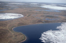
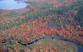
Aerial photograph of basin fenland near Voisey's Bay, Newfoundland and Labrador
Part of Bill Freedman fonds
Part of Bill Freedman fonds
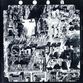
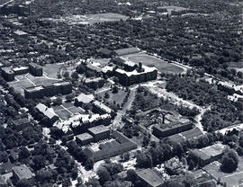
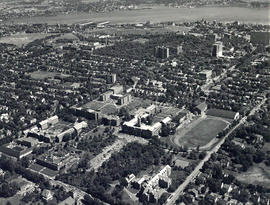
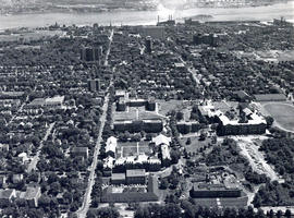
Aerial photograph of Carleton Campus at Dalhousie University
Lockwood Survey Corporation (Montreal)
Aerial photograph of Carleton Campus at Dalhousie University
Lockwood Survey Corporation (Montreal)

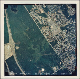
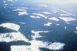
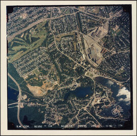
Aerial photograph of Clayton Park and Bayers Lake Industrial Park
Part of Bill Freedman fonds
Aerial photograph of Clayton Park and Bayers Lake Industrial Park
Part of Bill Freedman fonds
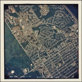
Aerial photograph of Clayton Park and Fairview
Part of Bill Freedman fonds
Aerial photograph of Clayton Park, Beechwood Park, and Fairview
Part of Bill Freedman fonds
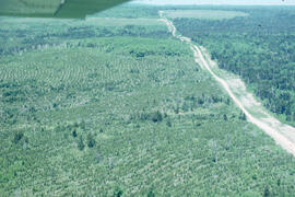
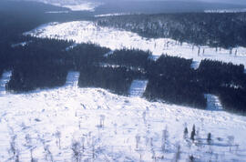
Aerial photograph of clear cuts and cutovers in northern New Brunswick
Part of Bill Freedman fonds
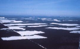
Aerial photograph of clear cuts and strip cuts in a deer wintering area, northern New Brunswick
Part of Bill Freedman fonds
Aerial photograph of clear cuts in a deer wintering area, northern New Brunswick
Part of Bill Freedman fonds
Aerial photograph of clear cuts in nothern New Brunswick
Part of Bill Freedman fonds
Aerial photograph of clear cuts near Nepisiguit River, northern New Brunswick
Part of Bill Freedman fonds
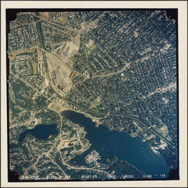
Aerial photograph of communities surrounding the Armdale traffic circle
Part of Bill Freedman fonds
Aerial photograph of communities surrounding the Armdale traffic circle
Part of Bill Freedman fonds
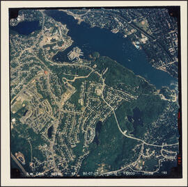
Aerial photograph of Cowie Hill
Part of Bill Freedman fonds
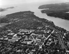
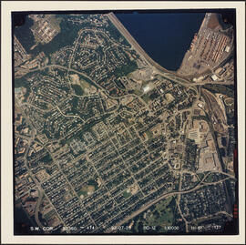
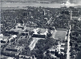
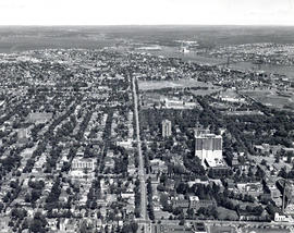
Aerial photograph of Dalhousie and Halifax
Aerial photograph of Dalhousie and Halifax
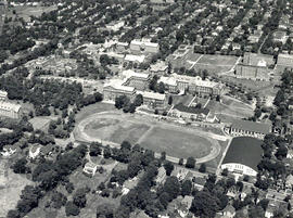
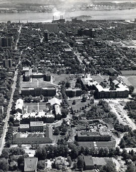
Aerial photograph of Dalhousie University
Wamboldt-Waterfield Photography Limited
Aerial photograph of Dalhousie University
Wamboldt-Waterfield Photography Limited
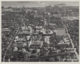
Aerial photograph of Dalhousie University
Field, D. B.

Aerial photograph of Dalhousie University
Wamboldt-Waterfield Photography Limited
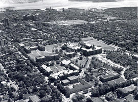
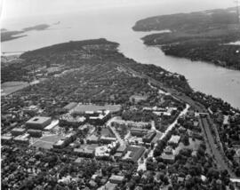
Aerial photograph of Dalhousie University and Halifax
Wamboldt-Waterfield Photography Limited
Aerial photograph of Dalhousie University and Halifax
Wamboldt-Waterfield Photography Limited
Aerial photograph of Dalhousie University and Halifax
Wamboldt-Waterfield Photography Limited
Aerial photograph of Dalhousie University and Halifax
Wamboldt-Waterfield Photography Limited
Aerial photograph of Dalhousie University and Halifax
Wamboldt-Waterfield Photography Limited
Aerial photograph of Dalhousie University and Halifax
Wamboldt-Waterfield Photography Limited