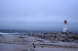
Wide-angle photograph of five unidentified persons standing on the rocks near Peggys Cove Lighthouse
- MS-2-789, Box 16, Folder 2, Item 19
- Item
- 2003
Part of Bill Freedman fonds
26 results directly related Exclude narrower terms
Wide-angle photograph of five unidentified persons standing on the rocks near Peggys Cove Lighthouse
Part of Bill Freedman fonds
Vegetation inventory of McNabs Island, Lawlors Island and Devils Island : [draft manuscript]
Part of Bill Freedman fonds
Vegetation and phytogeography of Sable Island, Nova Scotia : [manuscript and other materials]
Part of Bill Freedman fonds
Part of Bill Freedman fonds
Tree biomass and carbon storage in selected urban areas of Halifax, Nova Scotia : [draft manuscript]
Part of Bill Freedman fonds
Part of Bill Freedman fonds
Part of Bill Freedman fonds
Sable Island groundwater analysis : [draft manuscript and data sets]
Part of Bill Freedman fonds
Sable Island : [agreement and contract]
Part of Bill Freedman fonds
Research notes related to tree counts at locations in Fairview and South End Halifax
Part of Bill Freedman fonds
Part of Bill Freedman fonds
Part of Bill Freedman fonds
Part of Bill Freedman fonds
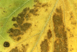
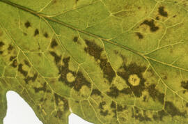
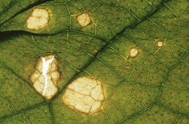
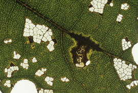
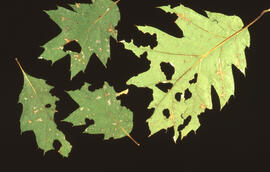
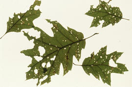
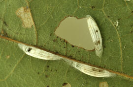
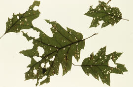
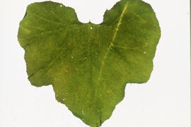
Photographs of vegetation in barrens and bogs of Nova Scotia
Part of Bill Freedman fonds
Part of Bill Freedman fonds
Part of Bill Freedman fonds
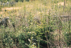
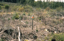
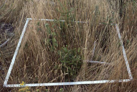
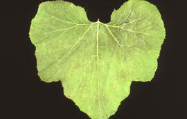
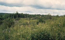
Photograph of young spruce regeneration at the Antrim site, Halifax County, Nova Scotia
Part of Bill Freedman fonds
Part of Bill Freedman fonds
Part of Bill Freedman fonds
Part of Bill Freedman fonds
Part of Bill Freedman fonds
Part of Bill Freedman fonds
Part of Bill Freedman fonds
Part of Bill Freedman fonds
Part of Bill Freedman fonds
Part of Bill Freedman fonds
Part of Bill Freedman fonds
Part of Bill Freedman fonds
Part of Bill Freedman fonds
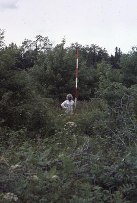
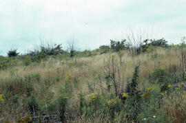
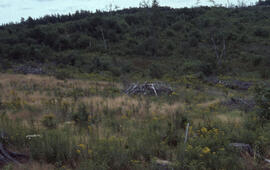
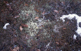
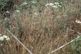
Photograph of the Polly Cove Barrens, Halifax County, Nova Scotia
Part of Bill Freedman fonds
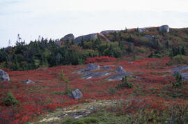
Photograph of the Polly Cove Barrens, Halifax County, Nova Scotia
Part of Bill Freedman fonds
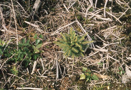
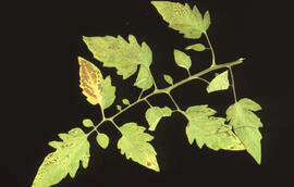
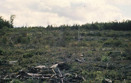
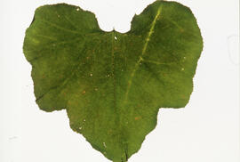
Photograph of slow vegetation regeneration at the Antrim site, Halifax County, Nova Scotia
Part of Bill Freedman fonds
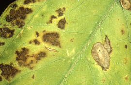
Photograph of slow regeneration after twice spraying at the Antrim site, Halifax County, Nova Scotia
Part of Bill Freedman fonds
Photograph of slow regeneration after twice spraying at the Antrim site, Halifax County, Nova Scotia
Part of Bill Freedman fonds
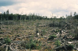
Photograph of slow regeneration after twice spraying at the Antrim site, Halifax County, Nova Scotia
Part of Bill Freedman fonds
Part of Bill Freedman fonds
Part of Bill Freedman fonds

Part of Bill Freedman fonds
Part of Bill Freedman fonds
Part of Bill Freedman fonds
Part of Bill Freedman fonds
Part of Bill Freedman fonds
Part of Bill Freedman fonds
Part of Bill Freedman fonds
Part of Bill Freedman fonds
Part of Bill Freedman fonds
Part of Bill Freedman fonds
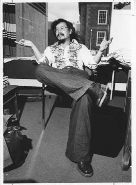
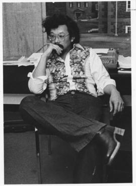
Photograph of David Suzuki at Dalhousie
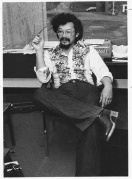
Photograph of David Suzuki at Dalhousie
Photograph of David Suzuki at Dalhousie