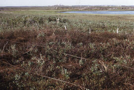
![Photograph of detailed regrowth at the [Meadow] winter spill site, near Tuktoyaktuk, Northwest Te...](/uploads/r/dalhousie-university-archives/b/a/d/bad172c3e45dcda0993f07c04c1ec5de87bba600d1d55e181416542fe0f0027d/0642533f-2c27-4bb6-978b-e3371f4f1fe7-MS-2-789_11_19_040_142.jpg)
Title and statement of responsibility area
Title proper
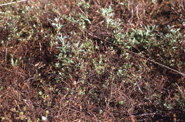
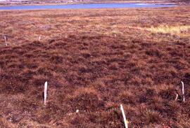
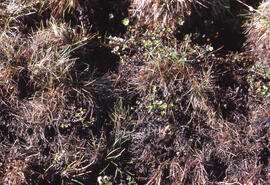
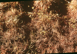
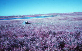
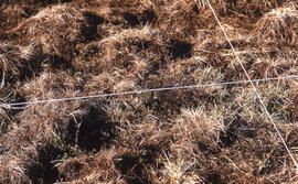
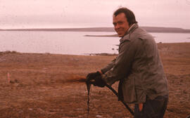
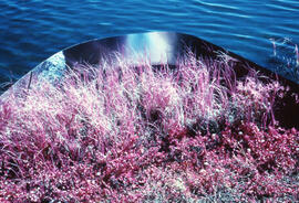
Photographs of small experimental oil spills sites around Tuktoyaktuk, Northwest Territories
General material designation
- Graphic material
Parallel title
Other title information
Title statements of responsibility
Title notes
Level of description
File
Repository
Reference code
MS-2-789, Box 11, Folder 19
Edition area
Edition statement
Edition statement of responsibility
Class of material specific details area
Statement of scale (cartographic)
Statement of projection (cartographic)
Statement of coordinates (cartographic)
Statement of scale (architectural)
Issuing jurisdiction and denomination (philatelic)
Dates of creation area
Date(s)
-
1973-1974, 1986 (Creation)
Physical description area
Physical description
73 photographs : col. slides ; 35 mm
Publisher's series area
Title proper of publisher's series
Parallel titles of publisher's series
Other title information of publisher's series
Statement of responsibility relating to publisher's series
Numbering within publisher's series
Note on publisher's series
Archival description area
Name of creator
(1950 - 2015)
Custodial history
Scope and content
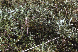
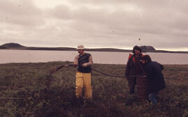
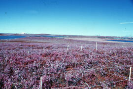
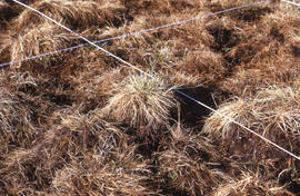
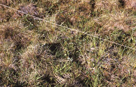
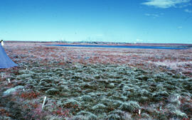
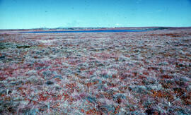
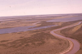
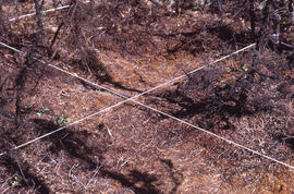
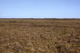
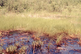
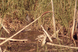
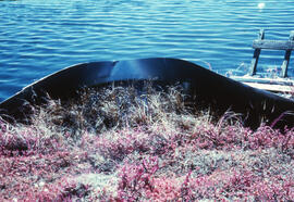
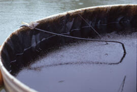
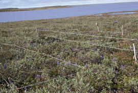
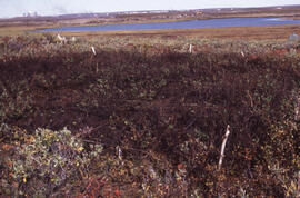
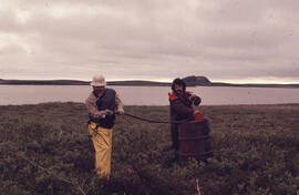
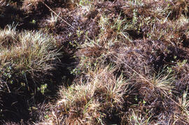
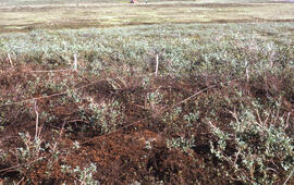
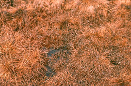
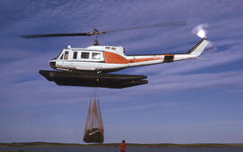
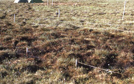
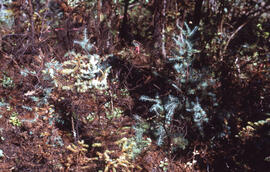
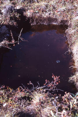
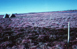
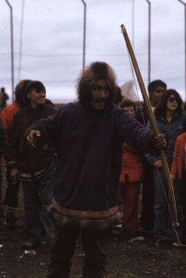
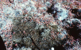
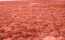
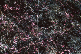
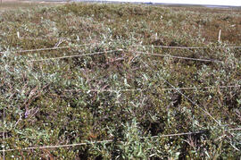
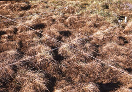
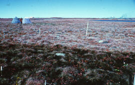
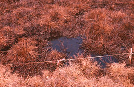
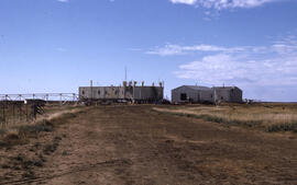
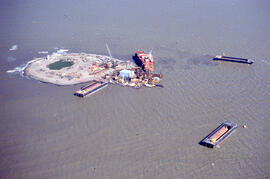
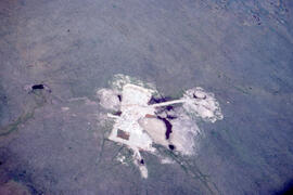
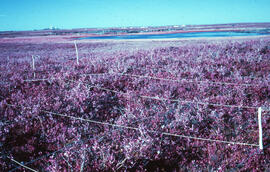
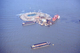
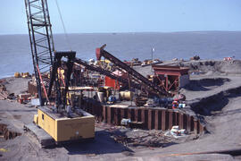
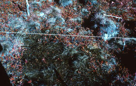
File contains 73 photographs taken by Bill Freedman at the sites of small, controlled, experimental oil spills near Tuktoyaktuk (Pingo, Point, Meadow, Lupin), predominantly from 1973 and 1974. Also includes some photos from similar experiments at Cape Parry. Photographs document experimentation of regrowth of vegetation in response to small-scale oil spills.
Notes area
Physical condition
Immediate source of acquisition
Arrangement
Language of material
Script of material
Location of originals
Availability of other formats
Restrictions on access
Terms governing use, reproduction, and publication
Finding aids
Finding aid
Associated materials
Accruals
General note
Metal slide box and binder were discarded during archival processing.
Signatures note
Most slides were originally held in a tan metal slide box with handwritten label: "W. Arctic Sable Isl.". They were stored in compartments 1-4, titled "Tuk Spills", as per Freedman's penciled location key. More slides were stored in archival sleeves titled "Petroleum" and "Oil Spills", found in an untitled black three-ring binder.