Add to clipboard
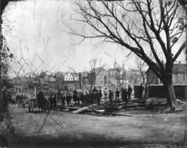
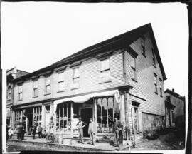
Photograph of New Glasgow after the fire of April 19, 1874
Add to clipboard
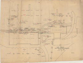
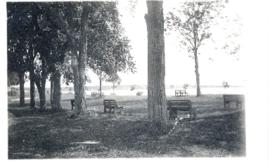
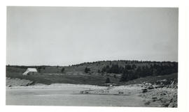
Plan showing location of trees, shrubs, etc. planted 1919
Add to clipboard
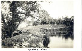
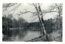
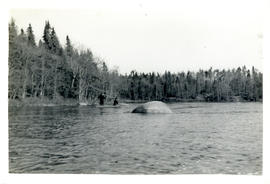
Photograph of Cowie Pond printed on a postcard
Add to clipboard
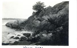
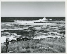
Photograph of the Wharf Rocks at Liverpool, Nova Scotia printed on a postcard
Add to clipboard
Photograph of Fort Point Park, Liverpool, Nova Scotia printed on a postcard
Add to clipboard
Photograph of a street scene in New Glasgow
Add to clipboard
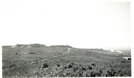
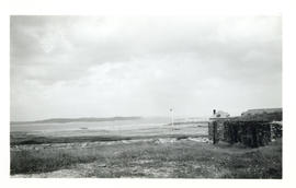
Photograph of Fort Beausejour from an old trench leading to the outworks
Add to clipboard
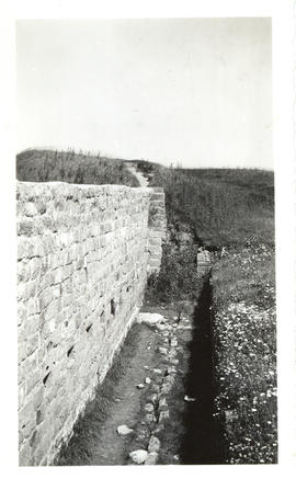
Photograph of the interior of a stone curtain at Fort Beausejour
Add to clipboard
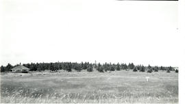
Photograph of Fort Beausejour observed from a pavilion
Add to clipboard
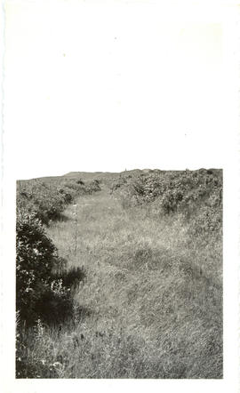
Photograph of Fort Beausejour taken from one of the flanking trenches
Add to clipboard
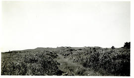
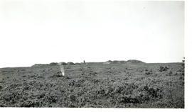
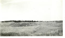
Photograph of the ridge at Fort Beausejour
Add to clipboard
Photograph of a pavilion at Fort Beausejour
Add to clipboard
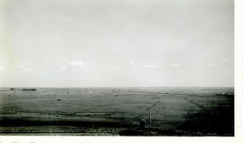
Photograph from Fort Beausejour facing east-southeast taken from the southeast bastion
Add to clipboard
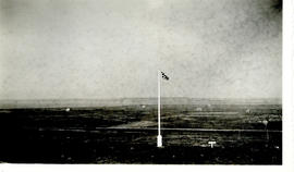
Photograph of a flag at Fort Beausejour looking southwest towards Westcock
Add to clipboard
Photograph of the interior of Fort Beausejour
Add to clipboard
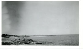
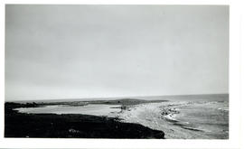
Photograph of Lighthouse Point from across the Louisbourg harbour
Add to clipboard
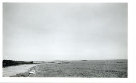
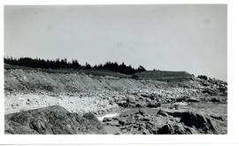
Photograph of Flat Point, Louisbourg taken from the shore facing Kennington Cove
Add to clipboard
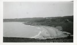
Photograph looking west from Kennington Cove, Louisbourg
Add to clipboard
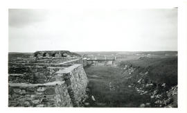
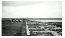
Photograph of the inner moat between the town and King's bastion at the Fortress of Lousibourg
Add to clipboard
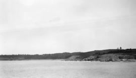
Photograph looking east from Flat Point Cove, Louisbourg
Add to clipboard
Photograph of Flat Point, Louisbourg
Add to clipboard
Photograph of Kennington Cove, Louisbourg
Add to clipboard
Photograph looking west from Kennington Cove's nid-de-pie position
Add to clipboard
Photograph of the King's Bastion at the Fortress of Louisbourg
Add to clipboard
Photograph of the beach at Kennington Cove, Louisbourg
Photograph of the view over Truro from campus taken from upper level of school building showing homes and farmland in 1946
Add to clipboard
Photograph of the view over Truro from campus taken from upper level of school building showing homes and farmland in 1946
Photograph of the view over Truro from campus featuring homes and farmland in 1946
Add to clipboard
Photograph of the view over Truro from campus featuring homes and farmland in 1946
Photograph of ditching machine and two men installing drainage tiles
Add to clipboard
Photograph of ditching machine and two men installing drainage tiles
Photograph of the Nova Scotia Agricultural College campus facing south-east, in view are Cumming Hall, the horticulture building, greenhouses, and original barns (where quad/library and Cox building are now)
Add to clipboard
Photograph of the Nova Scotia Agricultural College campus facing south-east, in view are Cumming Hall, the horticulture building, greenhouses, and original barns (where quad/library and Cox building are now)
Add to clipboard
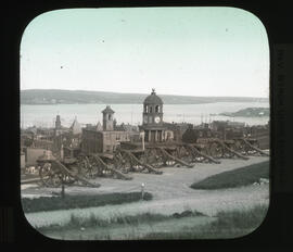
Photograph of Halifax, Nova Scotia seen from Citadel Hill
Photograph of the Nova Scotia Agricultural College campus, partial view of barn, streets, and homes on southern side of campus
Add to clipboard
Photograph of the Nova Scotia Agricultural College campus, partial view of barn, streets, and homes on southern side of campus
Add to clipboard
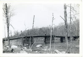
Photograph of the Shelburne River looking downstream from the "Low Bridge"
Add to clipboard
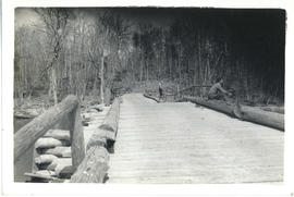
Photograph of J.A. Parker standing at the edge of the bridge over Pollards Falls, on the Shelburne River
Add to clipboard
Photograph of J.A. Parker and Celine and Maurice Russell fishing off the bridge over Pollards Falls, on the Shelburne River in Queens County
Add to clipboard
Photograph of J.A. Parker and Dunlap fishing from a canoe downstream from the "Low Bridge" to Pollards Falls on the Shelburne River
Add to clipboard
Photograph of Thomas Head Raddall looking out over the entrance of Moose Harbour with binoculars
Add to clipboard
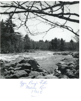
Photograph of Upper Bang's Falls, Medway River
Add to clipboard
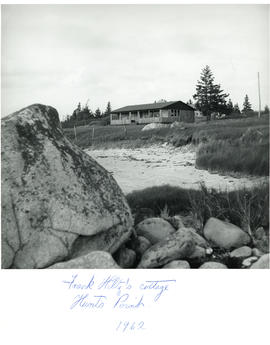
Photograph of Frank Hiltz's cottage taken from the beach at Hunts Point
Add to clipboard
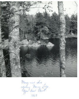
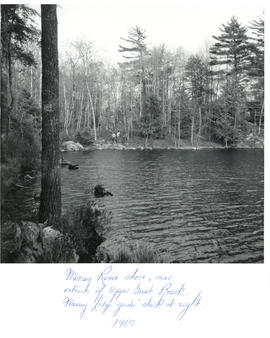
Photograph of the Mersey River shore, adjoining Mersey Lodge, Upper Great Brook
Add to clipboard
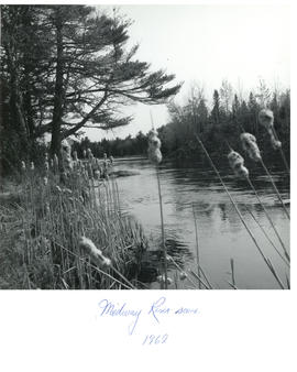
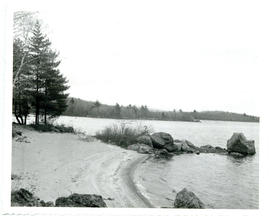
Photograph of Medway River seen from the cattails along the shore
Add to clipboard
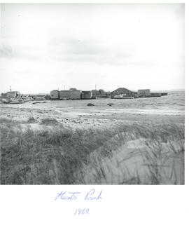
Photograph of houses and beach at Hunts Point, Nova Scotia
Add to clipboard
Photograph looking down on Sheet Harbour from the cemetery further up the hill
Add to clipboard
Photograph of two men hiking on the opposite shore of the Mersey River, near the entrance of Upper Great Brook
Add to clipboard
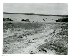
Photograph of fine quartz sand on Molega Beach, Nova Scotia
Add to clipboard
Photograph of the sand at Molega Beach, formed from crushed quartz caused by a gold stamp mill
Add to clipboard
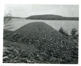
Photograph of a pile of tailings at the Molega gold mines
Add to clipboard
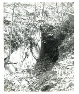
Photograph of one of the many small shafts dug at Molega
Add to clipboard
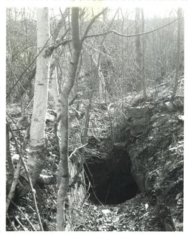
Photograph of one of the small shafts dug at Molega
Add to clipboard
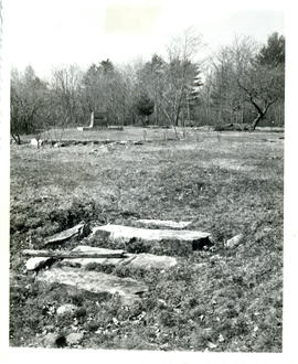
Photograph of the remains of a substantial home built at the Molega gold mines in the 1880's
Add to clipboard
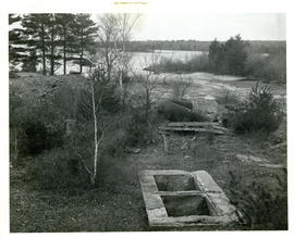
Photograph of the surface end of a 200-foot mine shaft