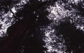
Photograph looking up at the Acadian forest canopy in the Tobeatic Wilderness Area, southwestern Nova Scotia
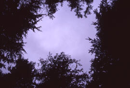
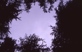
Photograph looking up through the Acadian forest canopy at a cloudy sky in the Tobeatic Wilderness Area, southwestern Nova Scotia
Photograph looking up through the Acadian forest canopy at a cloudy sky in the Tobeatic Wilderness Area, southwestern Nova Scotia
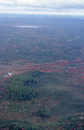
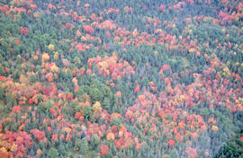
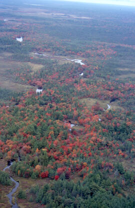
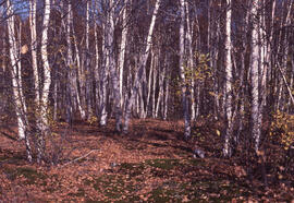
Photograph of a birch transition area near Sudbury, Ontario
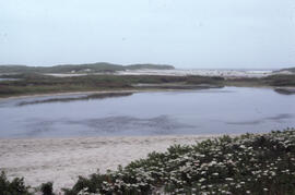
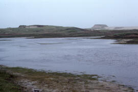
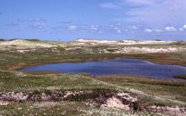
Photograph of a brackish pond located near Lifesaving Station Number 3 on Sable Island
Photograph of a brackish pond near Lifesaving Station Number 3 on Sable Island
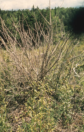
Photograph of a clump of red maple after first Glyphosate spray, Antrim site, Halifax County, Nova Scotia
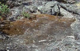
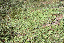
Photograph of a common haircap moss (Polytricum commune) mat near the Richard Lake site, near Sudbury, Ontario
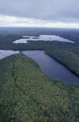
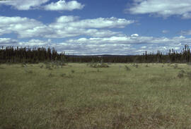
Photograph of a control area at the Little River Lake site, Kings County, Nova Scotia
Photograph of a control area at the Little River Lake site, Kings County, Nova Scotia
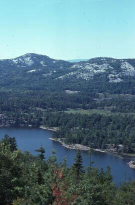
Photograph of a control site about 30 kilometres from mining operations near Sudbury, Ontario
Photograph of a controlled spill at the Bear Island site, near Norman Wells, Northwest Territories
Photograph of a dense patch of Juniperus communis (common juniper) on Sable Island
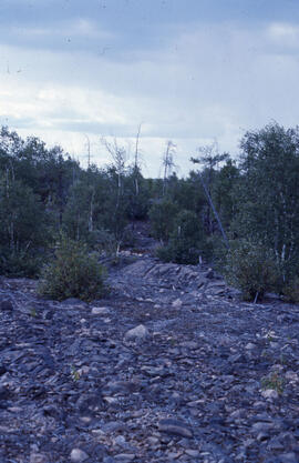
Photograph of a denuded hilltop at the Richard Lake site, near Sudbury, Ontario
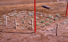
Photograph of a eight months of vegetation regrowth at a small controlled site at Nickel Rim, near Sudbury, Ontario
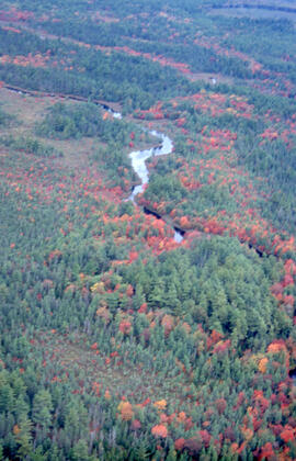
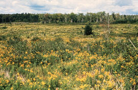
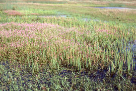
Photograph of a fen containing Sheathed cotton-grass (Eriophorum vaginatum var. spissum) and Deergrass (Scirpus caespitosus) near Postville, Newfoundland and Labrador
Photograph of a fen containing Sheathed cotton-grass (Eriophorum vaginatum var. spissum) and Deergrass (Scirpus caespitosus) near Postville, Newfoundland and Labrador
Photograph of a fen rich in Deergrass (Scirpus caespitosus) near Postville, Newfoundland and Labrador
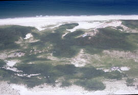
Photograph of a freshwater pond near the western lighthouse on Sable Island
Photograph of a freshwater pond rich in Potamogeton on Sable Island