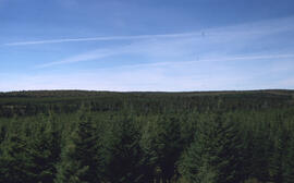
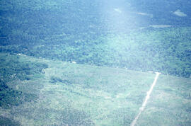
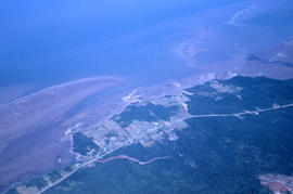
Aerial photograph of large forested plot before spraying
Aerial photograph of a large forested plot before spraying
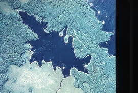
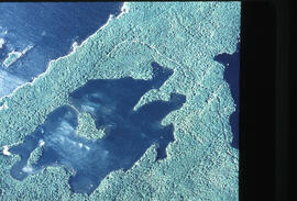
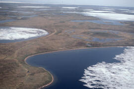
Aerial photograph of Pebbleloggitch Lake, Kejimkujik National Park, Nova Scotia
Aerial photograph of Pebbleloggitch Lake, Kejimkujik National Park, Nova Scotia, from a northwestern perspective
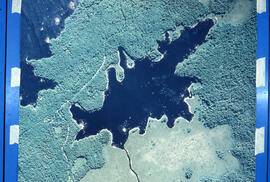
Aerial photograph of Beaverskin Lake, Kejimkujik National Park, Nova Scotia, from a northwestern perspective
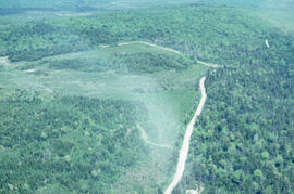
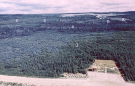
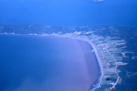
Aerial photograph showing the boundary between an Irving forest plantation and Fundy National Park
Aerial photograph of the Fundy National Park boundary
Photographs and audio visual materials of the Nova Scotia Agricultural College from 1885 to 2015
Photographs and audio visual materials of the Nova Scotia Agricultural College from 1885 to 2015
Photographs of aerial views of the Nova Scotia Agricultural College campus
Photographs of aerial views of the Nova Scotia Agricultural College campus
Nova Scotia Agricultural College campus 1959 aerial photograph
Nova Scotia Agricultural College campus 1959 aerial photograph
Aerial photographs of the Nova Scotia Agricultural College
Aerial photographs of the Nova Scotia Agricultural College
Aerial photograph of an old oil rig drilling site, Mackenzie River delta, Northwest Territories
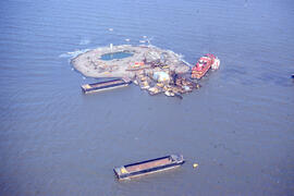
Aerial photograph of Immerk artificial island, Mackenzie Bay, Northwest Territories
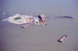
Aerial photograph of Immerk artificial island, Mackenzie Bay, Northwest Territories
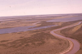
Aerial photograph of the Mackenzie River delta, near Tuktoyaktuk, Northwest Territories
Aerial views of the construction of the Olypmic Stadium in Montreal, Quebec
Aerial views of the construction of the Olypmic Stadium in Montreal, Quebec
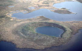
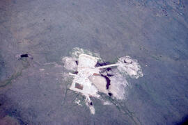
Aerial photograph of a collapsed pingo on the Tuktoyaktuk Peninsula, Northwest Territories
Aerial photograph of a young pingo on the Tuktoyaktuk Peninsula
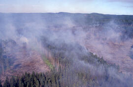
Aerial photograph of an active forest fire in La Mauricie National Park
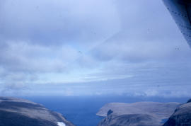
Aerial photograph of an unidentified location
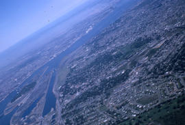
Aerial photograph of Montreal
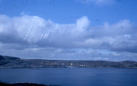
Aerial photograph of an unidentified town
Aerial photograph of an unidentified town on a peninsula
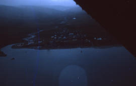
Aerial photograph of a small town
Aerial photograph of Leaf Bay
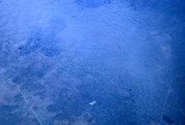
Photograph of Wakeham Bay taken from a distance
Slides from northern Quebec and other locations
Slides from northern Quebec and other locations

Photograph of a snowy landscape near Frobisher Bay, Northwest Territories

Aerial photograph of a mountain near Dawson City, Yukon
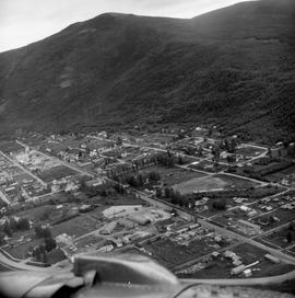
Aerial photograph of Dawson City, Yukon
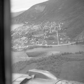
Aerial photograph of Dawson City, Yukon
Halifax - Waterfront - Irving Oil Wharf Foreground - Aerial View
Halifax - Waterfront - Irving Oil Wharf Foreground - Aerial View
Halifax - Aerial View - South End - Grain Elevators, Etc.
Halifax - Aerial View - South End - Grain Elevators, Etc.
Halifax - Aerial View - Dockyard - Foreground
Halifax - Aerial View - Dockyard - Foreground
Halifax - Aerial View - South End, Looking East
Halifax - Aerial View - South End, Looking East
Halifax - Aerial Views - Looking East
Halifax - Aerial Views - Looking East
Eastern Passage - Auto Port - Aerial View
Eastern Passage - Auto Port - Aerial View
Aerials of Halifax/Dartmouth
Aerials of Halifax/Dartmouth
Harbour Resource Study - Dartmouth
Harbour Resource Study - Dartmouth
Halifax , N.S. - View from Citadel Hill
Halifax , N.S. - View from Citadel Hill
Halifax - Chocolate Lake
Halifax - Chocolate Lake
Halifax - Aerial View
Halifax - Aerial View
Aerial of New Bridge
Aerial of New Bridge
TUNS Campus - aerial views
TUNS Campus - aerial views
Aerial views of Sexton Campus, formerly Technical University of Nova Scotia
Aerial views of Sexton Campus, formerly Technical University of Nova Scotia
Aerial views: Cartagena, Columbia
Aerial views: Cartagena, Columbia
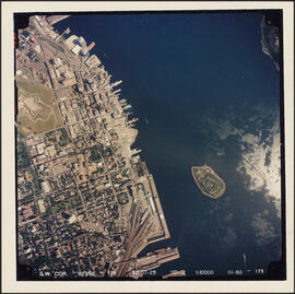
Aerial photograph of downtown Halifax and Halifax Harbour

Aerial photograph of Clayton Park and Bayers Lake Industrial Park
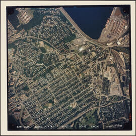
Aerial photograph of Clayton Park, Beechwood Park, and Fairview
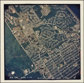
Aerial photograph of Clayton Park and Fairview