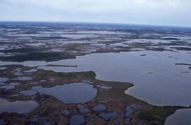
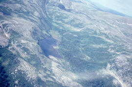
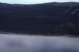
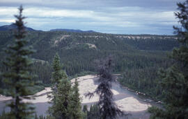
Aerial photograph of ponds on the Great Northern Peninsula, Newfoundland and Labrador
- MS-2-789, Box 15, Folder 3, Item 26
- Item
- 2002
Part of Bill Freedman fonds
88 results with digital objects Show results with digital objects
Aerial photograph of ponds on the Great Northern Peninsula, Newfoundland and Labrador
Part of Bill Freedman fonds
Aerial photograph of ponds on the Great Northern Peninsula, Newfoundland and Labrador
Part of Bill Freedman fonds
Part of Bill Freedman fonds
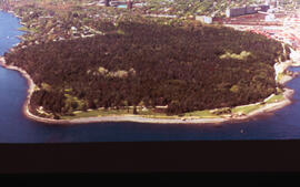
Aerial photograph of Point Pleasant Park, Halifax, Nova Scotia
Part of Bill Freedman fonds
Part of Bill Freedman fonds
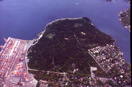
Aerial photograph of Point Pleasant Park, Halifax, Nova Scotia
Part of Bill Freedman fonds
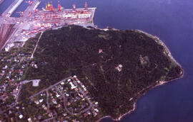
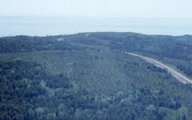
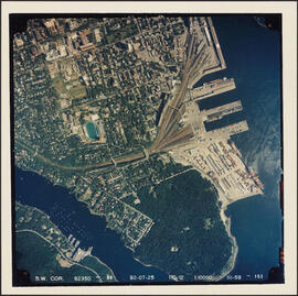
Aerial photograph of the container pier and Point Pleasant Park, Halifax, Nova Scotia
Part of Bill Freedman fonds
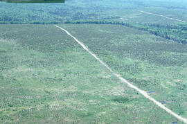
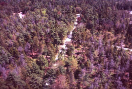
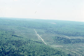
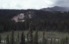
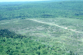
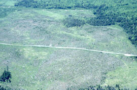
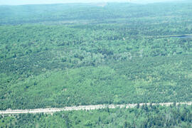
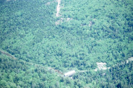
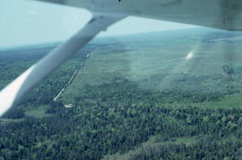
Aerial photograph of a regenerating plantation near Fundy National Park, New Brunswick
Part of Bill Freedman fonds
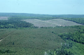
Aerial photograph of a regenerating plantation near Fundy National Park, New Brunswick
Part of Bill Freedman fonds
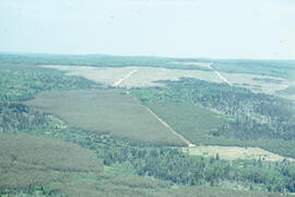
Aerial photograph of a regenerating plantation near Fundy National Park, New Brunswick
Part of Bill Freedman fonds
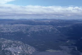
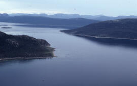
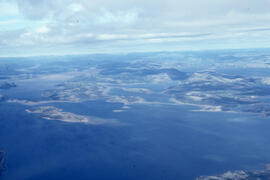
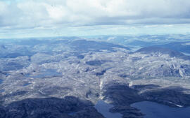
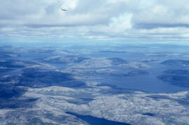
Aerial photograph of headlands and landscape around Voisey's Bay, Newfoundland and Labrador
Part of Bill Freedman fonds
Aerial photograph of headlands and landscape around Voisey's Bay, Newfoundland and Labrador
Part of Bill Freedman fonds
Aerial photograph of headlands and landscape around Voisey's Bay, Newfoundland and Labrador
Part of Bill Freedman fonds
Aerial photograph of headlands and landscape around Voisey's Bay, Newfoundland and Labrador
Part of Bill Freedman fonds
Part of Bill Freedman fonds
Part of Bill Freedman fonds
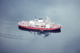
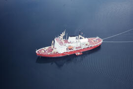
Aerial photograph of the accommodation ship Franklin in Voisey's Bay, Newfoundland and Labrador
Part of Bill Freedman fonds
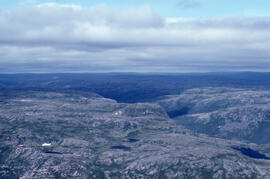
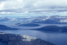
Aerial photograph of the coastline around Voisey's Bay, Newfoundland and Labrador
Part of Bill Freedman fonds
Aerial photograph of basin fenland near Voisey's Bay, Newfoundland and Labrador
Part of Bill Freedman fonds
Aerial photograph of headlands and landscape around Voisey's Bay, Newfoundland and Labrador
Part of Bill Freedman fonds
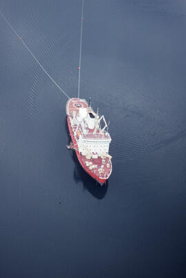
Aerial photograph of the accommodation ship Franklin in Voisey's Bay, Newfoundland and Labrador
Part of Bill Freedman fonds
Aerial photograph of dense forested landscape around Voisey's Bay, Newfoundland and Labrador
Part of Bill Freedman fonds
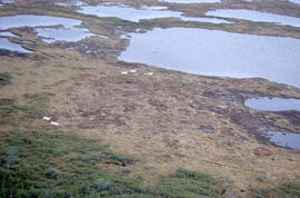
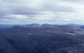
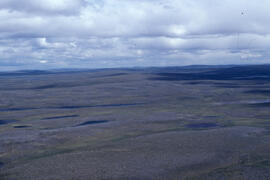
Aerial photograph of upland tundra and the Voisey Bay coastline, Newfoundland and Labrador
Part of Bill Freedman fonds
Aerial photograph of upland tundra near Voisey's Bay, Newfoundland and Labrador
Part of Bill Freedman fonds
Aerial photograph of a regenerating plantation near Fundy National Park, New Brunswick
Part of Bill Freedman fonds
Aerial photograph of a regenerating plantation near Fundy National Park, New Brunswick
Part of Bill Freedman fonds
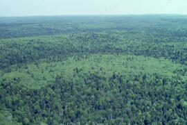
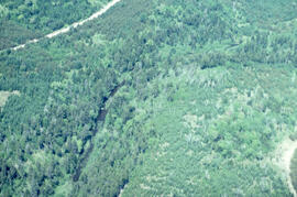
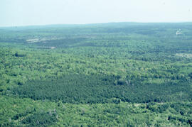
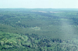
Aerial photograph of a dense natural forest landscape in Fundy National Park, New Brusnwick
Part of Bill Freedman fonds
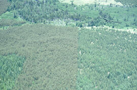
Aerial photograph of a regenerating plantation near Fundy National Park, New Brunswick
Part of Bill Freedman fonds
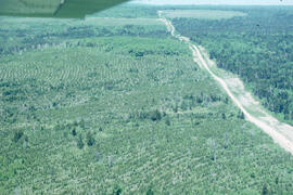
Aerial photograph of a regenerating plantation near Fundy National Park, New Brunswick
Part of Bill Freedman fonds
Aerial photograph of a regenerating plantation near Fundy National Park, New Brunswick
Part of Bill Freedman fonds
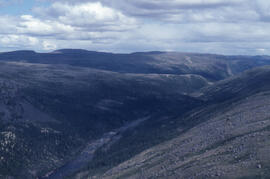
Aerial photograph of the Fraser River canyon, near Voisey's Bay, Newfoundland and Labrador
Part of Bill Freedman fonds
Aerial photograph of upland tundra and the Voisey Bay coastline, Newfoundland and Labrador
Part of Bill Freedman fonds
Aerial photograph of upland tundra and the Voisey Bay coastline, Newfoundland and Labrador
Part of Bill Freedman fonds
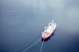
Aerial photograph of the accommodation ship Franklin in Voisey's Bay, Newfoundland and Labrador
Part of Bill Freedman fonds
Aerial photograph of a covered bridge in Fundy National Park, New Brunswick
Part of Bill Freedman fonds
Aerial photograph of a regenerating plantation near Fundy National Park, New Brunswick
Part of Bill Freedman fonds
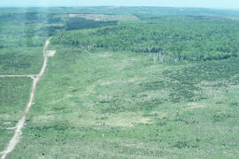
Aerial photograph of a regenerating plantation near Fundy National Park, New Brunswick
Part of Bill Freedman fonds
Part of Bill Freedman fonds
Aerial photograph of a regenerating plantation near Fundy National Park, New Brunswick
Part of Bill Freedman fonds
Aerial photograph of a regenerating plantation near Fundy National Park, New Brunswick
Part of Bill Freedman fonds
Aerial photograph of a regenerating plantation near Fundy National Park, New Brunswick
Part of Bill Freedman fonds
Aerial panoramic photograph of the snow-covered forest near Voisey's Bay, Newfoundland and Labrador
Part of Bill Freedman fonds
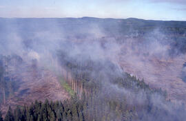
Aerial photograph of an active forest fire in La Mauricie National Park
Part of Bill Freedman fonds
Part of Bill Freedman fonds
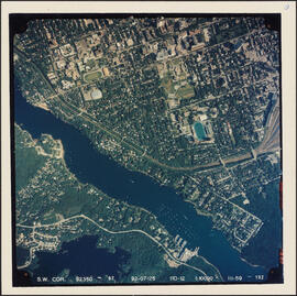
Aerial photograph of Melville Cove and Cowie Hill
Part of Bill Freedman fonds
Part of Bill Freedman fonds
Part of Bill Freedman fonds
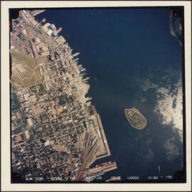
Aerial photograph of downtown Halifax and Halifax Harbour
Part of Bill Freedman fonds
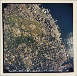
Aerial photograph of the Halifax peninsula
Part of Bill Freedman fonds

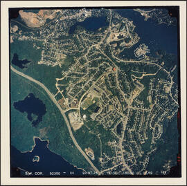
Aerial photograph of Clayton Park and Bayers Lake Industrial Park
Part of Bill Freedman fonds