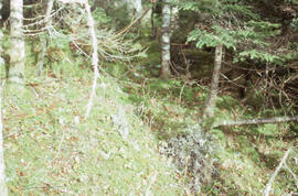
Photograph of intact forest floor at a clearcutting site near Corner Brook, Newfoundland
Photograph of a cable skidder near Corner Book, Newfoundland
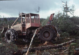
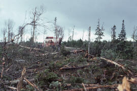
Photograph of forestry equipment skidding whole trees at a cleracut site near Corner Brook, Newfoundland
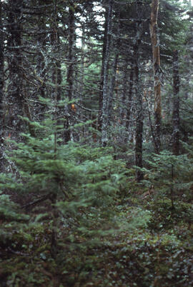
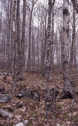
Photograph of intact fir and spruce forest near a clearcut site outside Corner Brook, Newfoundland
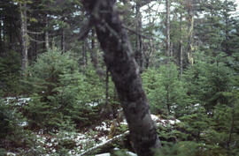
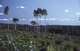
Photograph of advancing fir regeneration at a clearcut site near Corner Brook, Newfoundland
Photograph of forestry equipment skidding logs near Corner Brook, Newfoundland
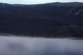
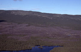
Aerial panoramic photograph of the snow-covered forest near Voisey's Bay, Newfoundland and Labrador
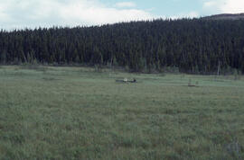
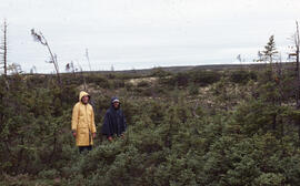
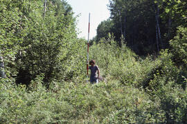
Photograph of two unidentified people seated in fenland with a dense forest background near Voisey's Bay, Newfoundland and Labrador
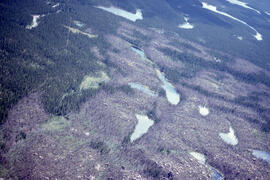
Aerial photograph of basin fenland near Voisey's Bay, Newfoundland and Labrador
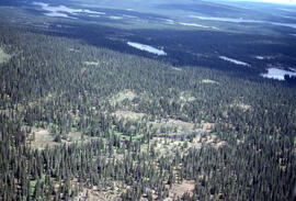
Aerial photograph of dense forested landscape around Voisey's Bay, Newfoundland and Labrador
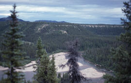
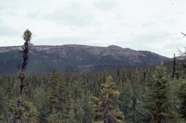
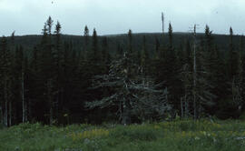
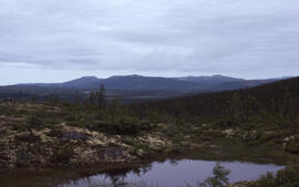
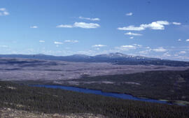
Photograph of the view of boreal forest from a hilltop near Voisey's Bay, Newfoundland and Labrador
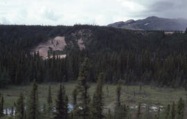
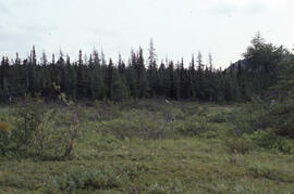
Photograph of fenland and conifer growth near Voisey's Bay, Newfoundland and Labrador
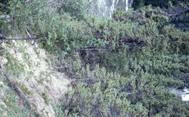
Photograph of conifer growth near Voisey's Bay, Newfoundland and Labrador
Aerial photograph of a Black spruce (Picea mariana) burn site after seven years of regrowth, near Postville, Newfoundland and Labrador
Photograph of Black spruce (Picea mariana) at the edge of a bog, Terra Nova National Park, Newfoundland and Labrador
Photograph of sparse Black spruce (Picea mariana) on Long Island near Postville, Newfoundland and Labrador
Aerial photograph of seven years of regeneration at a Black spruce (Picea mariana) burn site, near Postville, Newfoundland and Labrador
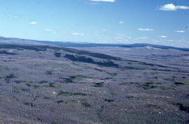
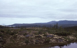
Aerial photograph showing Black spruce (Picea mariana) woodlands, near Postville, Newfoundland and Labrador
Photograph of two unidentified people standing in a sparse Krummholz Zone area, Postville, Newfoundland and Labrador
Photograph of the Michelin burn site near Postville, Newfoundland and Labrador
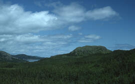
Photograph of dense forests and hills in Terra Nova National Park
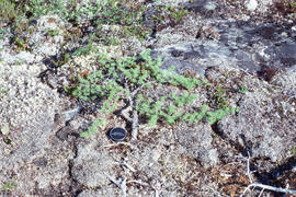
Photograph of stunted tamarack (Larix laricina) with size reference on Long Island, near Postville, Newfoundland and Labrador
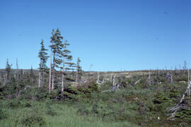
Photograph of Black spruce (Picea mariana) regeneration near a burn site after seven years, near Postville, Newfoundland and Labrador
Photograph of Black spruce (Picea mariana) on Long Island, near Postville, Newfoundland and Labrador
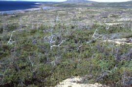
Photograph of Krummholz Zone tundra near Postville, Newfoundland and Labrador
Aerial photograph of a patterned rocky fen near Postville, Newfoundland and Labrador
Photograph of a basin bog near Postville, Newfoundland and Labrador
Photograph of Black spruce (Picea mariana) near Michelin Lake, Postville, Newfoundland and Labrador
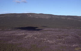
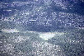
Aerial photograph of a Black spruce (Picea mariana) burn site near Postville, Newfoundland and Labrador
Photograph of Krummholz Zone altitudinal tundra at Postville, Newfoundland and Labrador
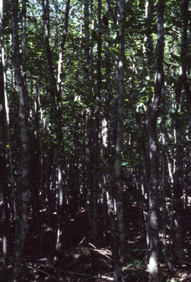
Photograph of forest biomass at Site C, a mixed-growth seventy-four-year-old range at an unidentified central Nova Scotian location
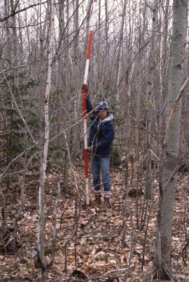
Photograph of an unidentified researcher making forest biomass measurements at a twelve-four-year-old stand, Site I, at an unidentified central Nova Scotian location
Photograph of forest biomass growth at Site 6 Plot 14, a thirty-year growth stand at an unidentified central Nova Scotian location
Photograph of forest biomass growth at Site 5, Plot 3, a two-year growth stand at an unidentified central Nova Scotian location
Photograph of two unidentified workers operating log loader machinery at Aylesford Lake, Kings County, Nova Scotia
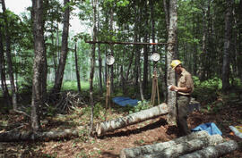
Photograph of researchers conducting throughfall measurements at an unidentified central Nova Scotian site
Photograph of an unidentified researcher weighing felled bolts of sugar maple (Acer saccharum) at an unidentified central Nova Scotian site
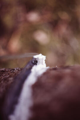
Close-up photograph of researchers conducting stemflow measurements at an unidentified central Nova Scotian site
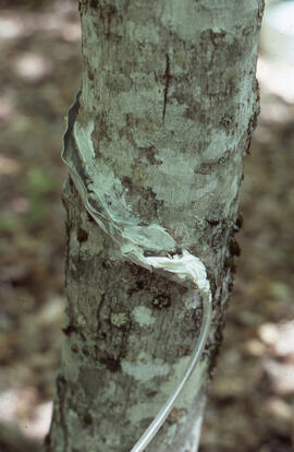
Photograph of researchers conducting stemflow measurements at an unidentified central Nova Scotian site
Photograph of researchers conducting stemflow measurements at an unidentified central Nova Scotian site
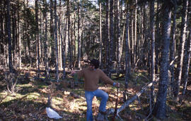
Photograph of Bill Freedman posing with a rifle and foliage, Aylesford Lake, Kings County, Nova Scotia
Photograph of forest biomass measurements at Plot 4, a wider strip cut range, Riverside site, central Nova Scotia
Photograph of forest biomass measurements at an unidentified four- or five-year-old thin hardwood plot, Riverside site, central Nova Scotia
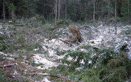
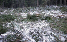
Photograph of the aftermath of a 0.49 hectare conventional clear cut, Aylesford Lake, Kings County, Nova Scotia
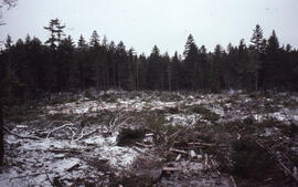
Photograph of an 0.5 hectare all-aged softwood conventional clear cut, Aylesford Lake, Kings County, Nova Scotia
Photograph of the aftermath of a 0.49 hectare conventional clear cut, Aylesford Lake, Kings County, Nova Scotia
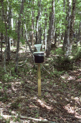
Photograph of researchers conducting throughfall control measurements in a heath barren at an unidentified central Nova Scotian location
Photograph of Bill Freedman posing with a rifle and foliage, Aylesford Lake, Kings County, Nova Scotia
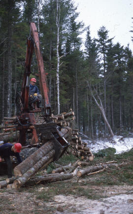
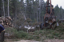
Photograph of logging machinery performing clear-cutting at Aylesford Lake, Kings County, Nova Scotia
Photograph of an unidentified researcher conducting forest biomass measurements at Plot 2, a four-year-old narrow strip cut range, Riverside site, central Nova Scotia