Demolition of buildings for construction of the Scotia Square Mall on Barrington Street, Purdy's Warf and Halifax waterfront in Halifax Nova Scotia
Demolition of buildings for construction of the Scotia Square Mall on Barrington Street, Purdy's Warf and Halifax waterfront in Halifax Nova Scotia
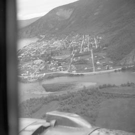
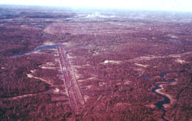
Aerial photograph of Dawson City, Yukon

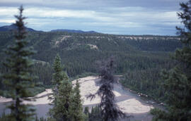
Aerial photograph of a mountain near Dawson City, Yukon
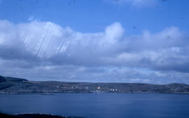
Photograph of Wakeham Bay taken from a distance
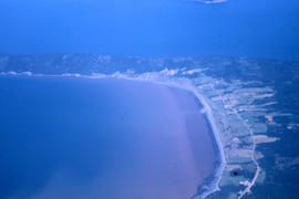
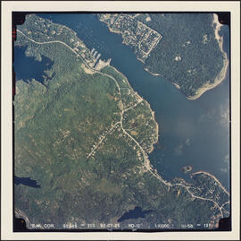
Aerial photograph of an unidentified town on a peninsula
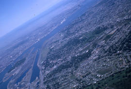
Aerial photograph of Montreal
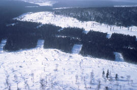
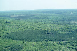
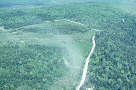
Aerial photograph of clear cuts and strip cuts in a deer wintering area, northern New Brunswick
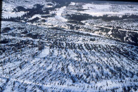
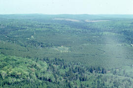
Aerial photograph of clear cuts and cutovers in northern New Brunswick
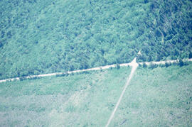
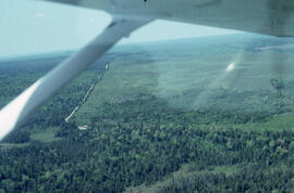
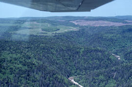
Aerial photograph showing the Fundy National Park boundary
Aerial photograph of a covered bridge in Fundy National Park, New Brunswick
Aerial photograph of a regenerating plantation near Fundy National Park, New Brunswick
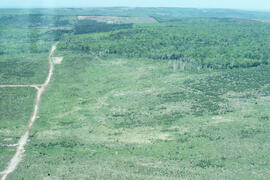
Aerial photograph of a regenerating plantation near Fundy National Park, New Brunswick
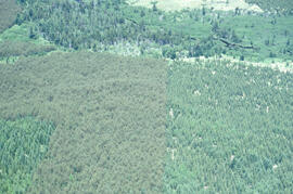
Aerial photograph of a spruce plantation near the Fundy National Park boundary, southern New Brunswick
Aerial photograph of a regenerating plantation near Fundy National Park, New Brunswick
Aerial photograph of a regenerating plantation near Fundy National Park, New Brunswick
Aerial photograph of a regenerating plantation near Fundy National Park, New Brunswick
Aerial photograph of a regenerating plantation near Fundy National Park, New Brunswick
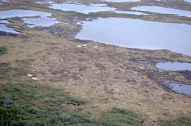
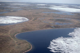
Aerial photograph of ponds on the Great Northern Peninsula, Newfoundland and Labrador
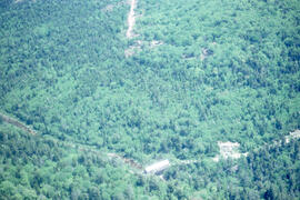
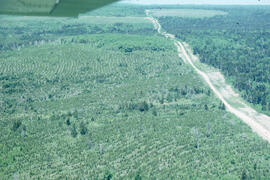
Aerial photograph showing the boundary between an Irving forest plantation and Fundy National Park
Aerial panoramic photograph of the snow-covered forest near Voisey's Bay, Newfoundland and Labrador
Photographs and audio visual materials of the Nova Scotia Agricultural College from 1885 to 2015
Photographs and audio visual materials of the Nova Scotia Agricultural College from 1885 to 2015
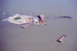
Aerial photograph of Immerk artificial island, Mackenzie Bay, Northwest Territories
Aerial photograph of a young pingo on the Tuktoyaktuk Peninsula
Aerial photograph of the O'Donnell Roast Bed, southwest of Sudbury, Ontario
Aerial photograph of Point Pleasant Park and the South End Container Terminal
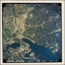
Aerial photograph of communities surrounding the Armdale traffic circle
Aerial photograph of communities surrounding the Armdale traffic circle
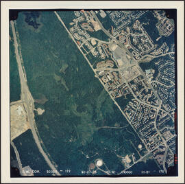
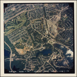
Aerial photograph of Clayton Park and Bayers Lake Industrial Park
Aerial photograph of Point Pleasant Park and the Northwest Arm
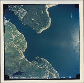
Aerial photograph of the Halifax Harbour approaches south of Point Pleasant Park