Post-clearcutting secondary succession in a hardwood forest in central Nova Scotia : [draft manuscript and correspondence]
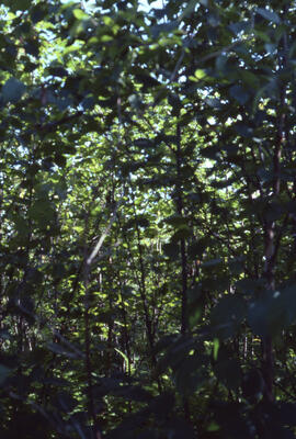
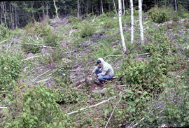
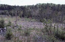
Photograph of forest biomass at Site 8, an eight-year-old stand, at an unidentified central Nova Scotian location
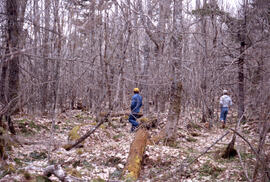
Photograph of unidentified researchers walking in Site 6, a thirty-year-old stand at an unidentified Nova Scotian location
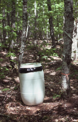
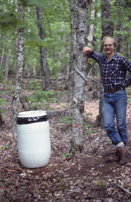
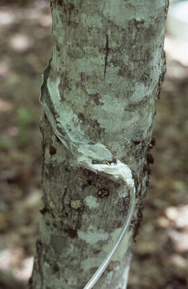
Photograph of researchers conducting stemflow measurements at an unidentified central Nova Scotian site
Photograph of an unidentified researcher conducting stemflow measurements at an unidentified central Nova Scotian site
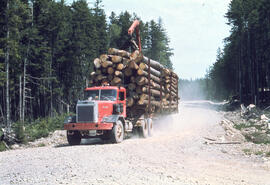
Photograph of a truck carrying a full load of logs from an unidentified Nova Scotian site
Photograph of an unidentified researcher making forest biomass measurements at Site 16, after two years of regrowth, at an unidentified central Nova Scotian location
Photograph of an unidentified researcher making forest biomass measurements at Site 16, a thirteen-year-old stand, at an unidentified central Nova Scotian location
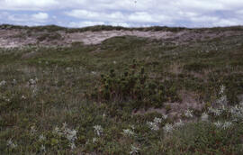
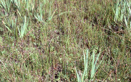
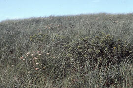
Photograph of mixed grasses on Sable Island
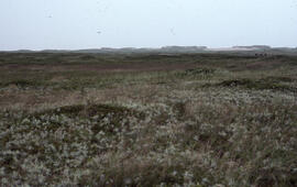
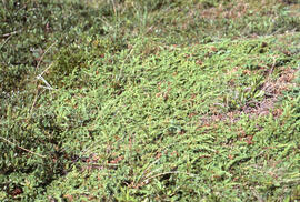
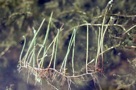
Photograph of unidentified vegetation on Sable Island
Photograph of unidentified vegetation on Sable Island
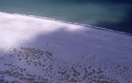
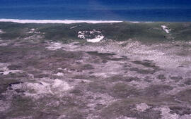
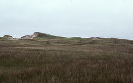
Aerial photograph of sparsely vegetated area of Sable Island
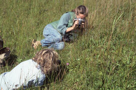
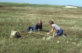
Photograph of Zoe Lucas and Noreen Stadey photographing grasses on Sable Island
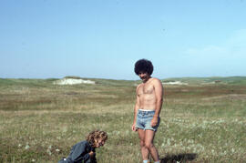
Photograph of Bill Freedman and one unidentified person standing in the grassy plain on Sable Island
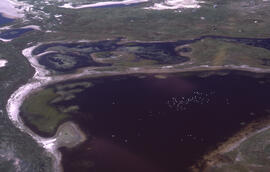
Aerial photograph of freshwater ponds near Main Station on Sable Island
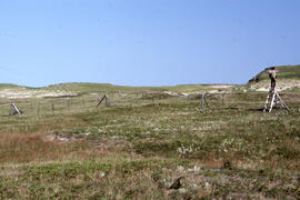
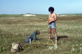
Photograph of Bill Freedman and one unidentified person building an enclosure on a grassy plain on Sable Island
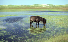
Photograph of a wild horse drinking from a freshwater pond on Sable Island
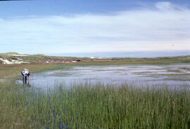
Photograph of an unidentified person examining Scirpus americanus in a freshwater pond on Sable Island
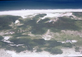
Aerial photograph of Sable Island grasslands
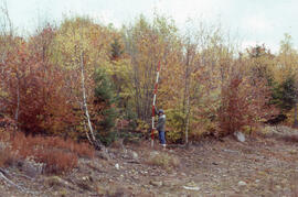
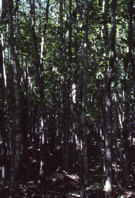
Photograph of forest biomass growth at Site 7 Plot 15, a forty-year growth stand at an unidentified central Nova Scotian location
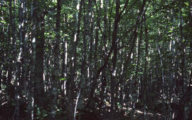
Photograph of forest biomass growth at Site 6 Plot 14, a thirty-year growth stand at an unidentified central Nova Scotian location
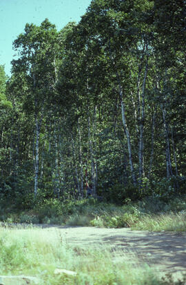
Photograph of forest biomass growth at Site 2, a fifty-five-year growth roadside stand at an unidentified central Nova Scotian location
Photograph showing uncollected logs and foliage at an unidentified central Nova Scotian site
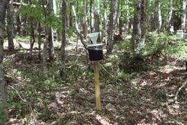
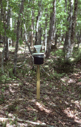
Photograph of researchers conducting throughfall measurements at an unidentified central Nova Scotian site
Photograph of researchers conducting throughfall control measurements in a heath barren at an unidentified central Nova Scotian location
Photograph of researchers conducting stemflow measurements at an unidentified central Nova Scotian site
Photograph of researchers conducting throughfall measurements at an unidentified central Nova Scotian site
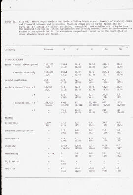
Transparency showing biomass measurements for an ENFOR study of standing crops and fluxes at Site H8, a stand of sugar maple (Acer saccharum), red maple (Acer rubrum), and yellow birch (Betula alleghaniensis) at an unidentified central Nova Scotian location
Photograph of forest biomass at Site 4, Plot 16, a fifty-year-old stand, at an unidentified central Nova Scotian location
Photograph of Bill Freedman and an unidentified researcher discussing forest biomass measurements at Site 8, an eight-year-old stand, at an unidentified central Nova Scotian location
Photograph of boggy heath on Sable Island
Aerial photograph of the grassy plain in Sable Island
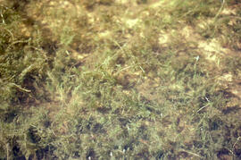
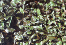
Photograph of freshwater Potamogeton on Sable Island
Photograph of Potamogeton oblongus on Sable Island
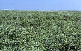
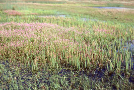
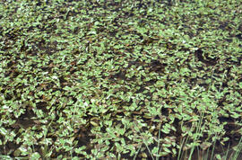
Photograph of rich mixed grassland on Sable Island
Photograph of rich mixed grassland on Sable Island
Photograph of Zoe Lucas and Noreen Stadey constructing a small enclosure on Sable Island
Transparency map of continental shelf off Nova Scotia and Sable Island