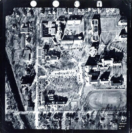
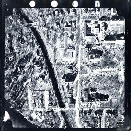
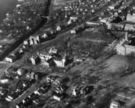
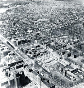
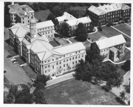
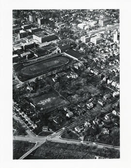
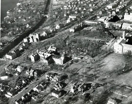
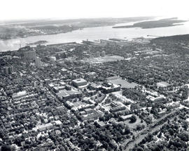
Aerial photograph of Studley Campus at Dalhousie University
- PC1, Box 14, Folder 2, Item 13
- Item
- 1966
Item is an aerial photograph of Dalhousie University's Studley campus.
Atlantic Air Survey Company Ltd.
13392 results with digital objects Show results with digital objects
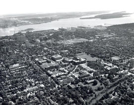
Aerial photograph of Studley Campus at Dalhousie University
Atlantic Air Survey Company Ltd.
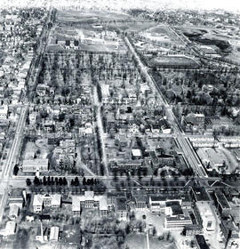
Aerial photograph of Studley Campus at Dalhousie University
Aerial photograph of Studley Campus at Dalhousie University
Aerial photograph of Studley Campus at Dalhousie University

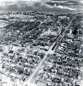
Aerial photograph of Studley Campus at Dalhousie University
Lockwood Survey Corporation (Montreal)
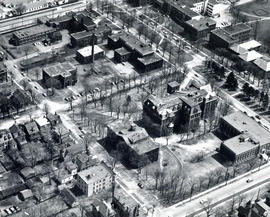
Aerial photograph of Studley Campus at Dalhousie University
Lockwood Survey Corporation (Montreal)
Aerial photograph of Studley Campus at Dalhousie University
Aerial photograph of Studley Campus at Dalhousie University
Aerial photograph of Studley Campus at Dalhousie University
Aerial photograph of Studley Campus at Dalhousie University
Aerial photograph of Studley Campus at Dalhousie University
Lockwood Survey Corporation (Montreal)

Aerial photograph of Studley Campus at Dalhousie University
Lockwood Survey Corporation (Montreal)
Part of Bill Freedman fonds
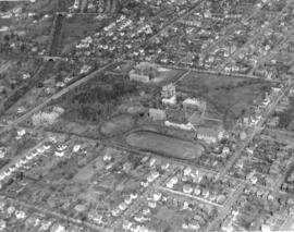
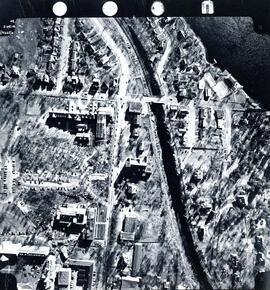
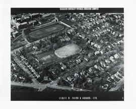
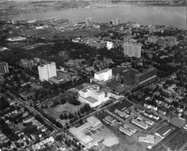
Aerial photograph of the Carleton campus
Atlantic Air Survey Company Ltd.
Aerial photograph of the Carleton campus
Atlantic Air Survey Company Ltd.

Aerial photograph of the Carleton campus
Atlantic Air Survey Company Ltd.
Aerial photograph of the Carleton campus
Atlantic Air Survey Company Ltd.
Aerial photograph of the Carleton campus
Atlantic Air Survey Company Ltd.
Aerial photograph of the Carleton campus
Atlantic Air Survey Company Ltd.
Aerial photograph of the container pier and Point Pleasant Park, Halifax, Nova Scotia
Part of Bill Freedman fonds
Aerial photograph of the Dalplex and surrounding areas
Aerial photograph of the F. H. Sexton Memorial Gymnasium construction
Maurice Crosby Photography
Aerial photograph of the grassy plain in Sable Island
Part of Bill Freedman fonds
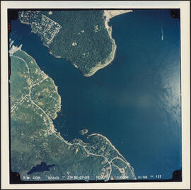
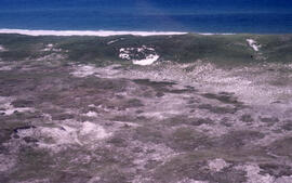
Aerial photograph of the Halifax Harbour approaches south of Point Pleasant Park
Part of Bill Freedman fonds
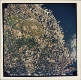
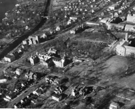
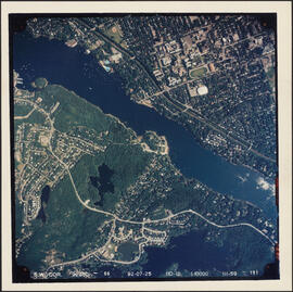
Aerial photograph of the Halifax peninsula
Part of Bill Freedman fonds
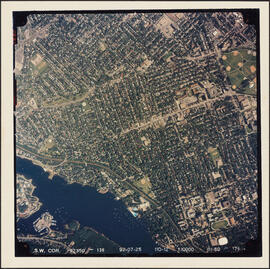
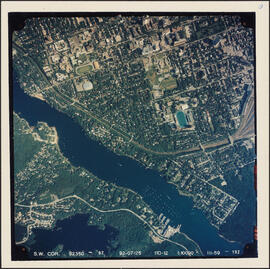
Aerial photograph of the Halifax peninsula
Part of Bill Freedman fonds
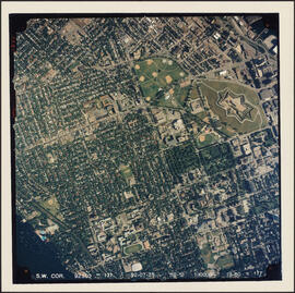
Aerial photograph of the Halifax peninsula
Part of Bill Freedman fonds
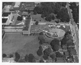
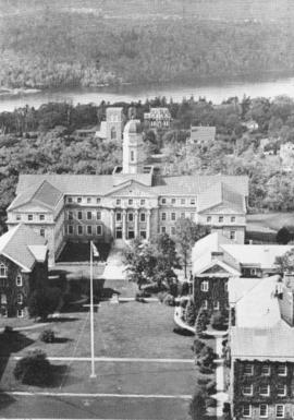
Aerial photograph of the Henry Hicks Arts & Administration Building
Atlantic Air Survey Company Ltd.
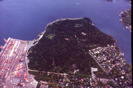
Aerial photograph of the Northwest Arm and Sir Sandford Fleming Park
Part of Bill Freedman fonds
Part of Bill Freedman fonds
Aerial photograph of the proposed site of the Dalplex before construction
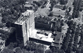
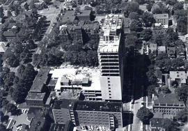
Aerial photograph of the Sir Charles Tupper Medical Building under construction
Wamboldt-Waterfield Photography Limited
Aerial photograph of the Sir Charles Tupper Medical Building under construction
Wamboldt-Waterfield Photography Limited
Aerial photograph of the station building at the new west lighthouse on Sable Island
Part of Richard Orme Allen fonds
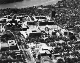
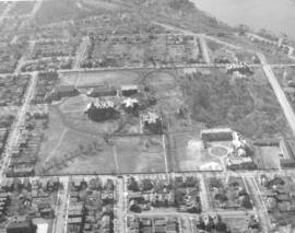
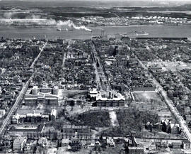
Aerial photograph of the Studley campus
Atlantic Air Survey Company Ltd.

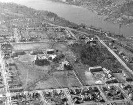
Aerial photograph of the Studley campus
Atlantic Aviation Limited, Photographic Division
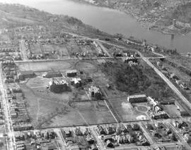
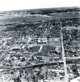
Aerial photograph of the Studley campus
Atlantic Air Survey Company Ltd.
Aerial photograph of the Studley campus
Atlantic Air Survey Company Ltd.

Aerial photograph of the University of King's College campus and the Northwest Arm
Field, D. B.
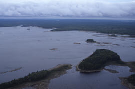
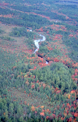
Aerial photograph of Tobeatic Lake, Tobeatic Wilderness Area, southwestern Nova Scotia
Part of Bill Freedman fonds
Aerial photographs of Dalhousie University campus
Aerial photographs of Dalhousie University's Studley and Carleton campuses
Aerial photographs of Dalhousie University's Studley Campus
Aerial photographs of North End Halifax
Bob Brooks Illustrative Photography
Part of imX Communications Inc. fonds
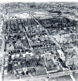
Aerial view of Dalhousie University campus looking northeast
Aerial view of Dalhousie University campus looking northeast
Aerial view of the Henry Hicks Arts & Administration Building