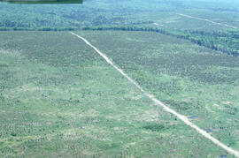
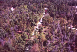
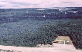
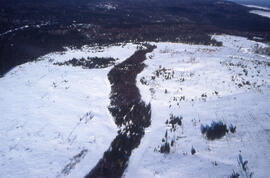
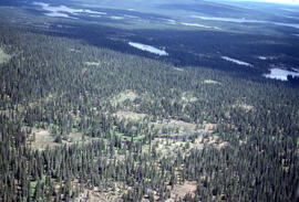
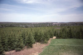
Aerial photograph of a regenerating plantation near Fundy National Park, New Brunswick
Aerial photograph of a regenerating plantation near Fundy National Park, New Brunswick
Aerial photograph of a regenerating plantation near Fundy National Park, New Brunswick
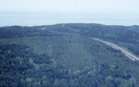
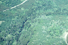
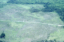
Aerial photograph of a spruce plantation near the Fundy National Park boundary, southern New Brunswick
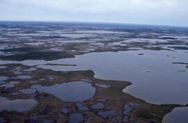
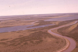
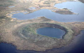
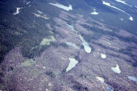
Aerial photograph of ponds on the Great Northern Peninsula, Newfoundland and Labrador
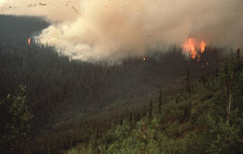
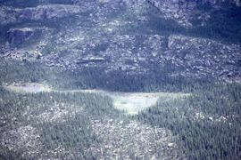
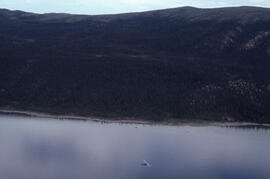
Aerial photograph of an active forest fire near Dawson City, Yukon Territory
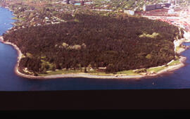
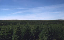
Aerial photograph of Point Pleasant Park, Halifax, Nova Scotia
Aerial photograph of a stand of spruce budworm damaged trees, Point Pleasant Park, Halifax, Nova Scotia
Aerial photograph of Melville Cove and Cowie Hill
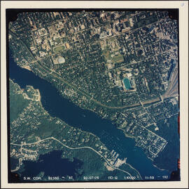
Aerial photograph of the Northwest Arm and the campuses of Dalhousie University and Saint Mary's University
Aerial photograph of Point Pleasant Park, the South End of Halifax, and the South End Container Terminal
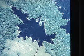
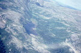
Aerial photograph of Pebbleloggitch Lake, Kejimkujik National Park, Nova Scotia
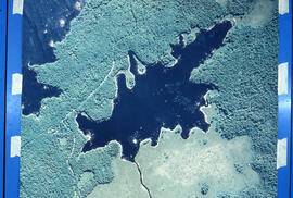
Aerial photograph of Pebbleloggitch Lake, Kejimkujik National Park, Nova Scotia, from a northwestern perspective
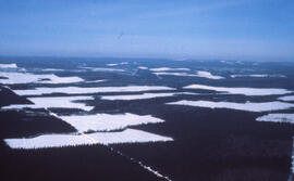
Aerial photograph of a large forested plot before spraying
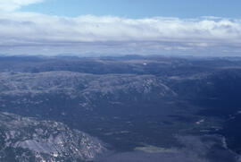
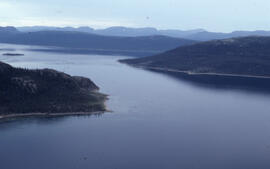
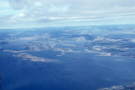
Aerial photograph of headlands and landscape around Voisey's Bay, Newfoundland and Labrador
Aerial photograph of headlands and landscape around Voisey's Bay, Newfoundland and Labrador
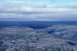
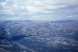
Aerial photograph of headlands and landscape around Voisey's Bay, Newfoundland and Labrador
Aerial photograph of headlands and landscape around Voisey's Bay, Newfoundland and Labrador
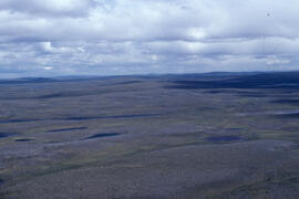
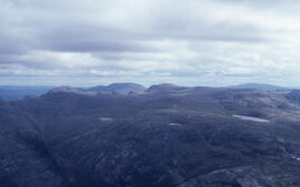
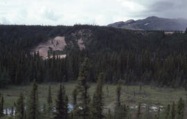
Aerial photograph of the flat tundra of the upland plateau near Voisey's Bay, Newfoundland and Labrador
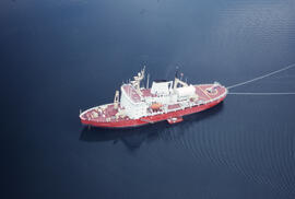
Aerial photograph of the accommodation ship Franklin, Anaktalak Bay, near Voisey's Bay, Newfoundland and Labrador
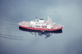
Aerial photograph of the accommodation ship Franklin in Voisey's Bay, Newfoundland and Labrador
Aerial photograph of the coastline around Voisey's Bay, Newfoundland and Labrador
Aerial photograph of basin fenland near Voisey's Bay, Newfoundland and Labrador
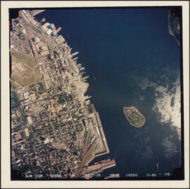
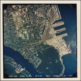
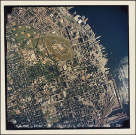
Aerial photograph of downtown Halifax and Halifax Harbour
Aerial photograph of the Mackenzie River delta, near Tuktoyaktuk, Northwest Territories
Aerial photograph of a patterned rocky fen near Postville, Newfoundland and Labrador
Aerial photograph of large forested plot before spraying
Aerial photograph of headlands and landscape around Voisey's Bay, Newfoundland and Labrador
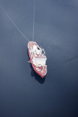
Aerial photograph of the accommodation ship Franklin in Voisey's Bay, Newfoundland and Labrador
Aerial photograph of dense forested landscape around Voisey's Bay, Newfoundland and Labrador
Aerial photograph of upland tundra and the Voisey Bay coastline, Newfoundland and Labrador
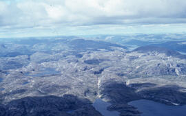
Aerial photograph of upland tundra near Voisey's Bay, Newfoundland and Labrador
Aerial photograph of a clear cut with a buffer zone, northern New Brunswick
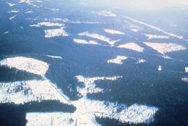
Aerial photograph of clear cuts in a deer wintering area, northern New Brunswick
Aerial photograph of clear cuts in nothern New Brunswick
Aerial photograph of clear cuts near Nepisiguit River, northern New Brunswick
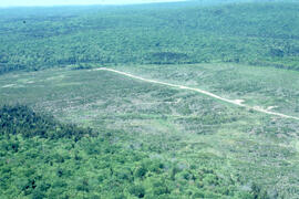
Aerial photograph of a regenerating plantation near Fundy National Park, New Brunswick
Aerial photograph of a regenerating plantation near Fundy National Park, New Brunswick
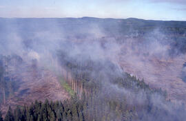
Aerial photograph of an active forest fire in La Mauricie National Park
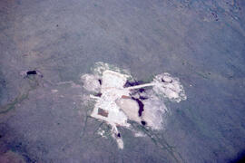
Aerial photograph of a collapsed pingo on the Tuktoyaktuk Peninsula, Northwest Territories
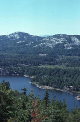
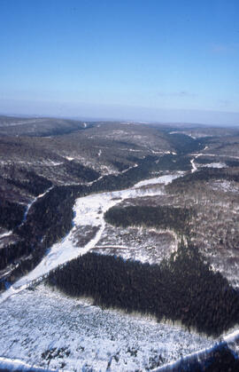
Aerial photograph of a lake in Killarney Provincial Park, near Sudbury, Ontario
Aerial photograph of the Halifax peninsula

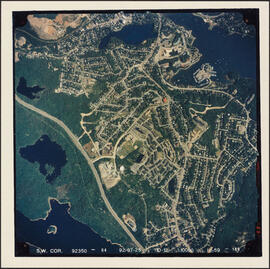
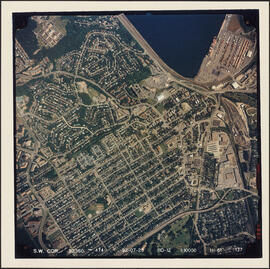
Aerial photograph of Clayton Park and Bayers Lake Industrial Park
Aerial photograph of Clayton Park, Beechwood Park, and Fairview
Aerial photograph of an old oil rig drilling site, Mackenzie River delta, Northwest Territories
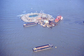
Aerial photograph of Immerk artificial island, Mackenzie Bay, Northwest Territories
Aerial photograph showing Black spruce (Picea mariana) woodlands, near Postville, Newfoundland and Labrador
Aerial photograph of seven years of regeneration at a Black spruce (Picea mariana) burn site, near Postville, Newfoundland and Labrador
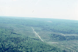
Aerial photograph of forestry cut overs in northern New Brunswick
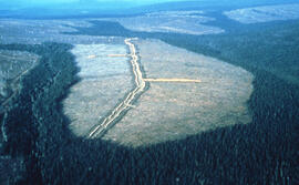
Aerial photograph of a spruce plantation from an Irving lookout near Fundy National Park, New Brunswick