Aerial photograph of Point Pleasant Park and the Northwest Arm
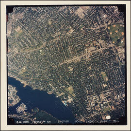
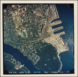
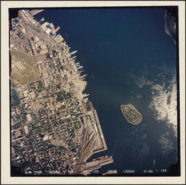
Aerial photograph of the Halifax peninsula
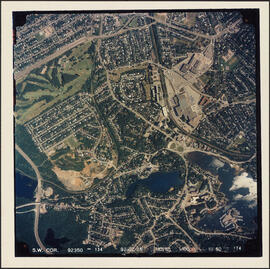
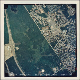
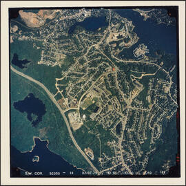
Aerial photograph of communities surrounding the Armdale traffic circle
Aerial photograph of communities surrounding the Armdale traffic circle
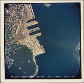
Aerial photograph of Point Pleasant Park and the South End Container Terminal
Aerial photograph of Point Pleasant Park, the South End of Halifax, and the South End Container Terminal
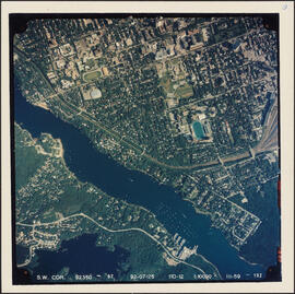
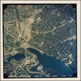
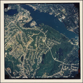
Aerial photograph of the Northwest Arm and the campuses of Dalhousie University and Saint Mary's University
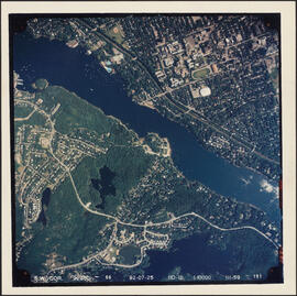
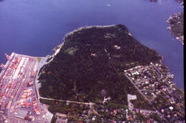
Aerial photograph of the Northwest Arm and Sir Sandford Fleming Park
Aerial photograph of Cowie Hill
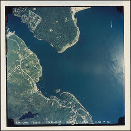
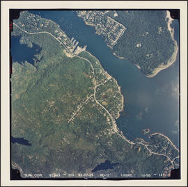
Aerial photograph of the Halifax Harbour approaches south of Point Pleasant Park
Aerial photograph of Clayton Park, Beechwood Park, and Fairview
Aerial photograph of Clayton Park and Fairview
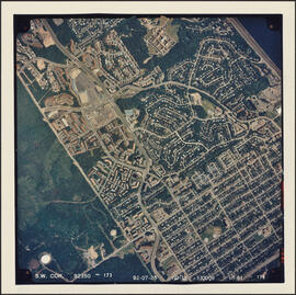
Aerial photograph of Clayton Park and Bayers Lake Industrial Park

Aerial photograph of Clayton Park and Bayers Lake Industrial Park
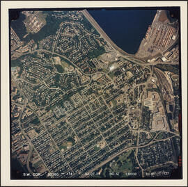
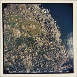
Aerial photograph of downtown Halifax and Halifax Harbour
Aerial photograph of the Halifax peninsula
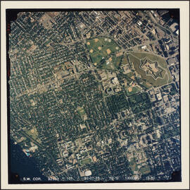
Aerial photograph of the Halifax peninsula
Aerial photograph of Melville Cove and Cowie Hill
Aerial photograph of the container pier and Point Pleasant Park, Halifax, Nova Scotia
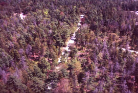
Aerial photograph of a stand of spruce budworm damaged trees, Point Pleasant Park, Halifax, Nova Scotia
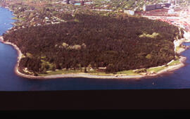
Aerial photograph of Point Pleasant Park, Halifax, Nova Scotia
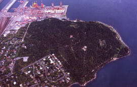
Aerial photograph of Point Pleasant Park, Halifax, Nova Scotia
Photographs of the destruction caused at Point Pleasant Park, Halifax, Nova Scotia, by the Brown Spruce longhorn beetle
Photographs of the destruction caused at Point Pleasant Park, Halifax, Nova Scotia, by the Brown Spruce longhorn beetle
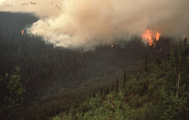
Aerial photograph of an active forest fire near Dawson City, Yukon Territory
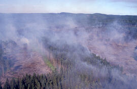
Aerial photograph of an active forest fire in La Mauricie National Park
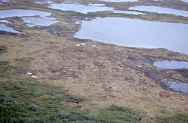
Aerial photograph of ponds on the Great Northern Peninsula, Newfoundland and Labrador
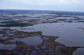
Aerial photograph of ponds on the Great Northern Peninsula, Newfoundland and Labrador
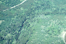
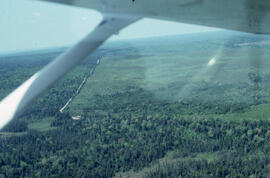
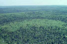
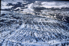
Aerial photograph of a regenerating plantation near Fundy National Park, New Brunswick
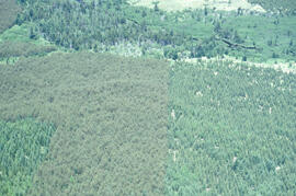
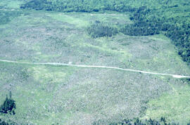
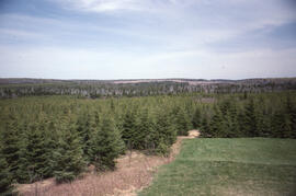
Aerial photograph of a spruce plantation near the Fundy National Park boundary, southern New Brunswick
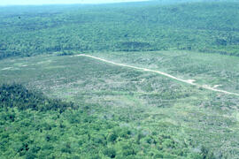
Aerial photograph of a regenerating plantation near Fundy National Park, New Brunswick
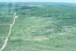
Aerial photograph of a regenerating plantation near Fundy National Park, New Brunswick
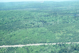
Aerial photograph of a regenerating plantation near Fundy National Park, New Brunswick
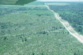
Aerial photograph of a regenerating plantation near Fundy National Park, New Brunswick
Aerial photograph of a regenerating plantation near Fundy National Park, New Brunswick
Aerial photograph of a regenerating plantation near Fundy National Park, New Brunswick
Aerial photograph of a regenerating plantation near Fundy National Park, New Brunswick
Aerial photograph of a regenerating plantation near Fundy National Park, New Brunswick
Aerial photograph of a regenerating plantation near Fundy National Park, New Brunswick
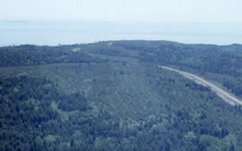
Aerial photograph of a spruce plantation near the Fundy National Park boundary, southern New Brunswick
Aerial photograph of a regenerating plantation near Fundy National Park, New Brunswick
Aerial photograph of a regenerating plantation near Fundy National Park, New Brunswick
Aerial photograph of a regenerating plantation near Fundy National Park, New Brunswick
Aerial photograph of a regenerating plantation near Fundy National Park, New Brunswick
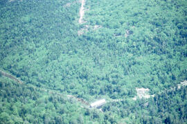
Aerial photograph of a covered bridge in Fundy National Park, New Brunswick
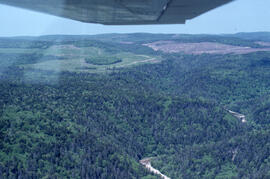
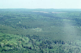
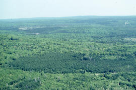
Aerial photograph of a dense natural forest landscape in Fundy National Park, New Brusnwick
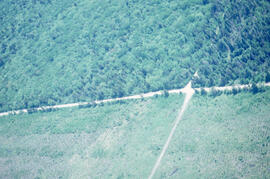
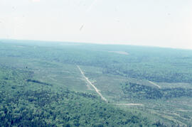
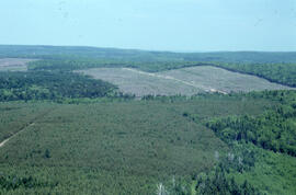
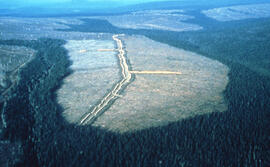
Aerial photograph showing the Fundy National Park boundary
Aerial photograph of a spruce plantation from an Irving lookout near Fundy National Park, New Brunswick
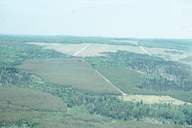
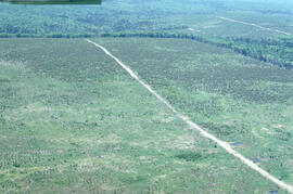
Aerial photograph of clear cuts and cutovers in northern New Brunswick
Aerial photograph of clear cuts near Nepisiguit River, northern New Brunswick
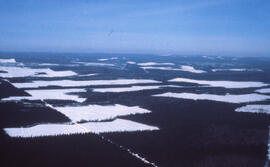
Aerial photograph of clear cuts in nothern New Brunswick