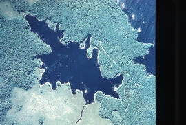
Aerial photograph of Pebbleloggitch Lake, Kejimkujik National Park, Nova Scotia
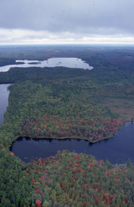
Aerial photograph of mixed Acadian forest near two lakes in the Tobeatic Wilderness Area, southwestern Nova Scotia
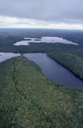
Aerial photograph of mixed Acadian forest near two lakes in the Tobeatic Wilderness Area, southwestern Nova Scotia
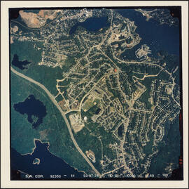
Aerial photograph of Melville Cove and Cowie Hill
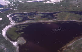
Aerial photograph of freshwater ponds near Main Station on Sable Island
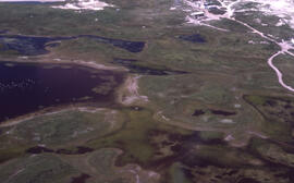
Aerial photograph of freshwater ponds near Main Station on Sable Island

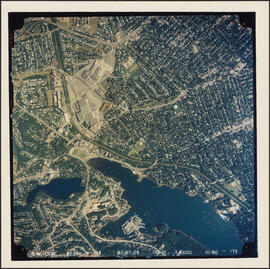
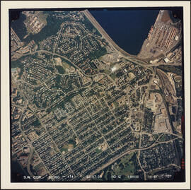
Aerial photograph of downtown Halifax and Halifax Harbour
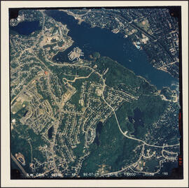
Aerial photograph of Cowie Hill
Aerial photograph of communities surrounding the Armdale traffic circle
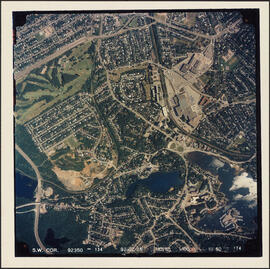
Aerial photograph of communities surrounding the Armdale traffic circle
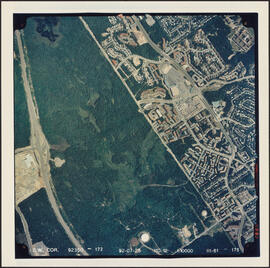
Aerial photograph of Clayton Park, Beechwood Park, and Fairview
Aerial photograph of Clayton Park and Fairview

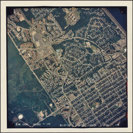
Aerial photograph of Clayton Park and Bayers Lake Industrial Park
Aerial photograph of Clayton Park and Bayers Lake Industrial Park
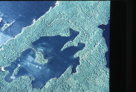
Aerial photograph of Beaverskin Lake, Kejimkujik National Park, Nova Scotia, from a northwestern perspective
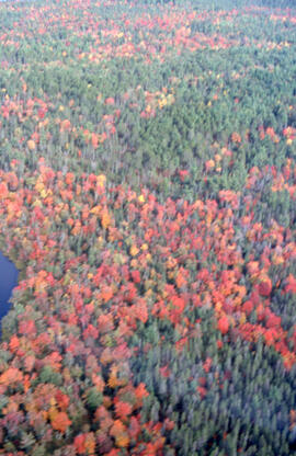
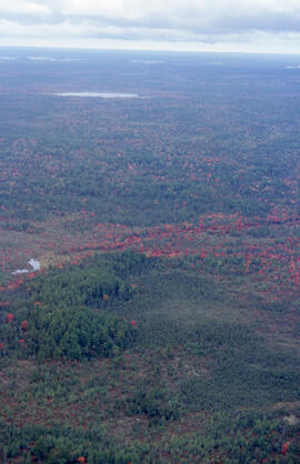
Aerial photograph of autumnal mixed-growth forest in the Tobeatic Wilderness Area, southwestern Nova Scotia
Aerial photograph of autumnal mixed-growth forest in the Tobeatic Wilderness Area, southwestern Nova Scotia
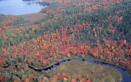
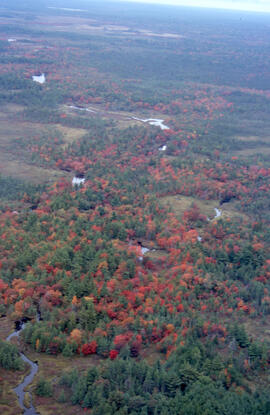
Aerial photograph of autumnal Acadian forest near a river in the Tobeatic Wilderness Area, southwestern Nova Scotia
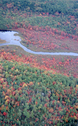
Aerial photograph of autumnal Acadian forest in the Tobeatic Wilderness Area, southwestern Nova Scotia
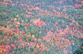
Aerial photograph of autumnal Acadian forest in the Tobeatic Wilderness Area, southwestern Nova Scotia
Aerial photograph of autumnal Acadian forest in the Tobeatic Wilderness Area, southwestern Nova Scotia
Aerial photograph of a stand of spruce budworm damaged trees, Point Pleasant Park, Halifax, Nova Scotia
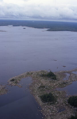
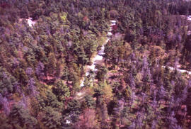
Aerial photograph of a lake with a rocky shore in Tobeatic Wilderness Area, southwestern Nova Scotia