Print preview Close
Showing 117 results
Archival Description115 results with digital objects Show results with digital objects
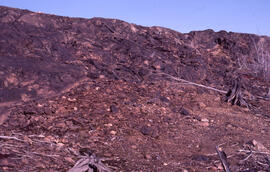
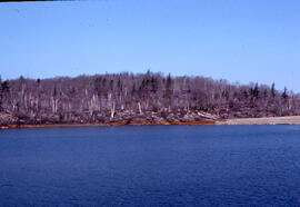
Photograph of a slag heap at the Coniston site, near Sudbury, Ontario
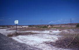
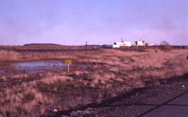
Photograph of a sign prohibiting littering on the shoulder of the access road to the Coniston site, near Sudbury, Ontario
Photograph of a roast bed at the Falconbridge site, near Sudbury, Ontario
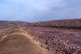
Photograph of a roast bed at the Falconbridge site, near Sudbury, Ontario
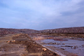
Photograph of a receding receiving pond showing iron precipitate pollution at Nickel Rim site, near Sudbury, Ontario
Photograph of a marked conservation area at the Falconbridge site, near Sudbury, Ontario
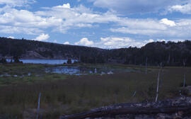
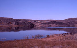
Photograph of a lush wetlands site at Richard Lake, near mining operations around Sudbury, Ontario
Photograph of a juvenile red oak remnant growing at the Copper Cliff site, near Sudbury, Ontario
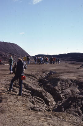
Photograph of a group of researchers standing near slag heaps at the Coniston site, near Sudbury, Ontario
Photograph of a group of researchers standing near slag heaps at the Coniston site, near Sudbury, Ontario
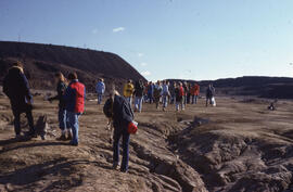
Photograph of a group of researchers standing at the Coniston site, near Sudbury, Ontario
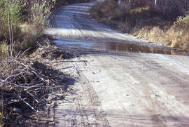
Photograph of a flooded access road to the Burwash mining site, near Sudbury, Ontario
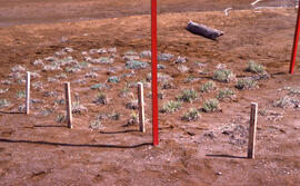
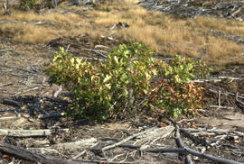
Photograph of a eight months of vegetation regrowth at a small controlled site at Nickel Rim, near Sudbury, Ontario
Photograph of a drainage pond at the Coniston site, near Sudbury, Ontario
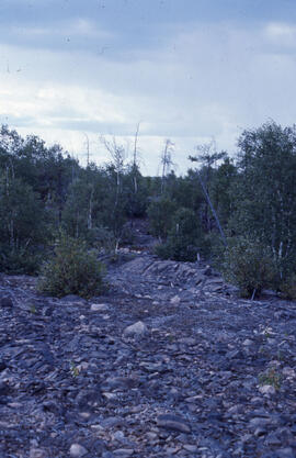
Photograph of a denuded hilltop at the Richard Lake site, near Sudbury, Ontario

Photograph of a denuded hilltop 4 kilometres from the Copper Cliff site, near Sudbury, Ontario
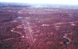
Aerial photograph of the O'Donnell Roast Bed, southwest of Sudbury, Ontario
Results 101 to 117 of 117
- « Previous
- 1
- 2
- 3