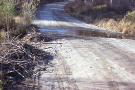
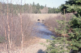
Photograph of a flooded access road to the Burwash mining site, near Sudbury, Ontario
- MS-2-789, Box 12, Folder 12, Item 33
- Item
- 1977
Part of Bill Freedman fonds
981 results with digital objects Show results with digital objects
Photograph of a flooded access road to the Burwash mining site, near Sudbury, Ontario
Part of Bill Freedman fonds
Part of Bill Freedman fonds
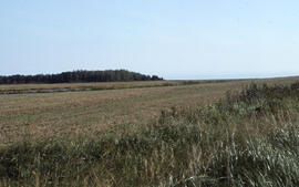
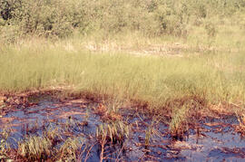
Photograph of a field near Goose Creek, Lunenburg County, Nova Scotia
Part of Bill Freedman fonds
Part of Bill Freedman fonds
Part of Bill Freedman fonds
Part of Bill Freedman fonds
Part of Bill Freedman fonds
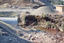
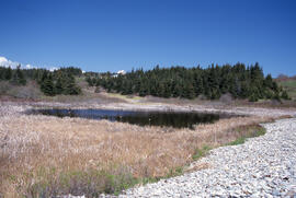
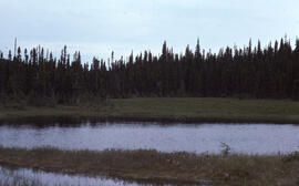
Photograph of a drainage pond at the Coniston site, near Sudbury, Ontario
Part of Bill Freedman fonds
Part of Bill Freedman fonds
Photograph of a denuded hilltop at the Richard Lake site, near Sudbury, Ontario
Part of Bill Freedman fonds

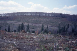
Photograph of a denuded hilltop 4 kilometres from the Copper Cliff site, near Sudbury, Ontario
Part of Bill Freedman fonds
Part of Bill Freedman fonds
Part of Bill Freedman fonds
Part of Bill Freedman fonds
Part of Bill Freedman fonds
Part of Bill Freedman fonds
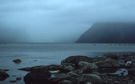
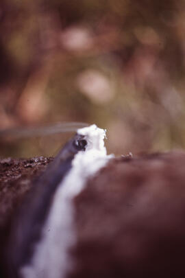
Photograph of a controlled spill at the Bear Island site, near Norman Wells, Northwest Territories
Part of Bill Freedman fonds
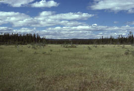
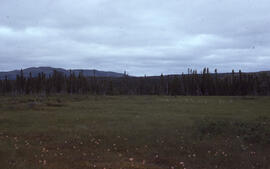
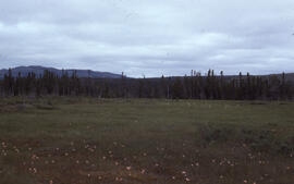
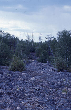
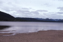
Photograph of a control site about 30 kilometres from mining operations near Sudbury, Ontario
Part of Bill Freedman fonds
Photograph of a control area at the Little River Lake site, Kings County, Nova Scotia
Part of Bill Freedman fonds
Photograph of a control area at the Little River Lake site, Kings County, Nova Scotia
Part of Bill Freedman fonds
Part of Bill Freedman fonds
Part of Bill Freedman fonds
Part of Bill Freedman fonds
Part of Bill Freedman fonds
Photograph of a Christmas tree growing lot, Lunenburg County, Nova Scotia
Part of Bill Freedman fonds
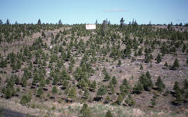
Photograph of a Christmas tree growing lot, Lunenburg County, Nova Scotia
Part of Bill Freedman fonds
Photograph of a Christmas tree growing lot, Lunenburg County, Nova Scotia
Part of Bill Freedman fonds
Photograph of a Christmas tree growing lot, Lunenburg County, Nova Scotia
Part of Bill Freedman fonds
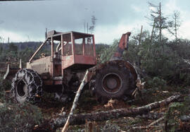
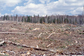
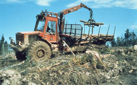
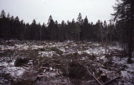
Photograph of a cable skidder near Corner Book, Newfoundland
Part of Bill Freedman fonds
Part of Bill Freedman fonds
Part of Bill Freedman fonds
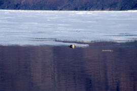
Photograph of a bird near melting lake ice in the Tobeatic Wilderness Area, southwestern Nova Scotia
Part of Bill Freedman fonds
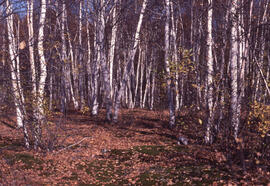
Photograph of a birch transition area near Sudbury, Ontario
Part of Bill Freedman fonds

Photograph of a basin bog near Postville, Newfoundland and Labrador
Part of Bill Freedman fonds
Part of Bill Freedman fonds
Part of Bill Freedman fonds
Part of Bill Freedman fonds
Part of Bill Freedman fonds
Part of Bill Freedman fonds
Part of Bill Freedman fonds
Part of Bill Freedman fonds
Photograph depicting glacial striation near Postville, Newfoundland and Labrador
Part of Bill Freedman fonds
Part of Bill Freedman fonds
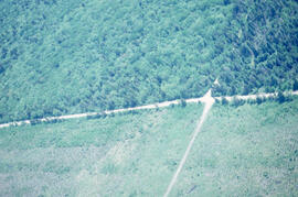
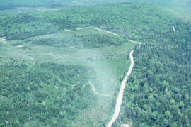
Aerial photograph showing the Fundy National Park boundary
Part of Bill Freedman fonds
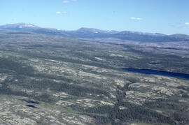
Aerial photograph showing the boundary between an Irving forest plantation and Fundy National Park
Part of Bill Freedman fonds
Part of Bill Freedman fonds
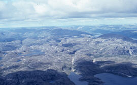
Aerial photograph showing a collapsing pingo, Tuktoyaktuk Peninsula, Northwest Territories
Part of Bill Freedman fonds
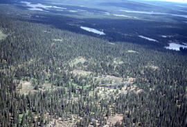
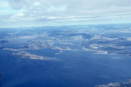
Aerial photograph of upland tundra near Voisey's Bay, Newfoundland and Labrador
Part of Bill Freedman fonds
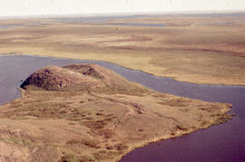
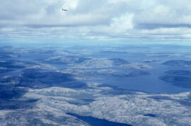
Aerial photograph of upland tundra and the Voisey Bay coastline, Newfoundland and Labrador
Part of Bill Freedman fonds
Aerial photograph of upland tundra and the Voisey Bay coastline, Newfoundland and Labrador
Part of Bill Freedman fonds