- PC1, Box 81, Folder 7
- Item
- 1934
3761 results with digital objects Show results with digital objects
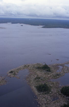
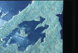
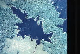
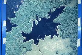
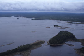
Aerial photograph of a lake with a rocky shore in Tobeatic Wilderness Area, southwestern Nova Scotia
Part of Bill Freedman fonds
Part of Bill Freedman fonds
Part of Bill Freedman fonds
Part of Bill Freedman fonds
Part of Bill Freedman fonds
Part of Bill Freedman fonds
Part of Bill Freedman fonds
Part of Bill Freedman fonds
Part of Bill Freedman fonds

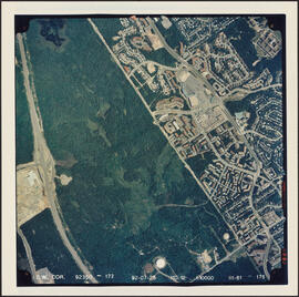
Aerial photograph of Clayton Park and Bayers Lake Industrial Park
Part of Bill Freedman fonds
Aerial photograph of Clayton Park and Bayers Lake Industrial Park
Part of Bill Freedman fonds
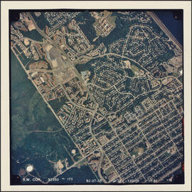
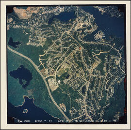
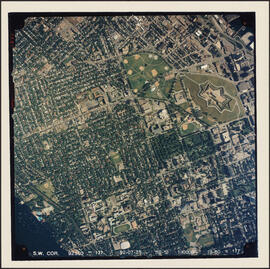
Aerial photograph of Clayton Park and Fairview
Part of Bill Freedman fonds
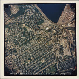
Aerial photograph of Clayton Park, Beechwood Park, and Fairview
Part of Bill Freedman fonds
Aerial photograph of communities surrounding the Armdale traffic circle
Part of Bill Freedman fonds
Aerial photograph of communities surrounding the Armdale traffic circle
Part of Bill Freedman fonds
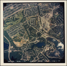
Aerial photograph of Cowie Hill
Part of Bill Freedman fonds
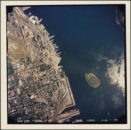
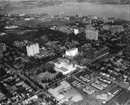
Aerial photograph of downtown Halifax and Halifax Harbour
Part of Bill Freedman fonds
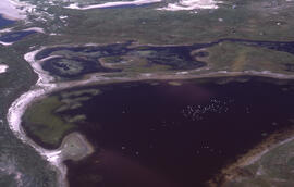
Aerial photograph of freshwater ponds near Main Station on Sable Island
Part of Bill Freedman fonds
Aerial photograph of freshwater ponds near Main Station on Sable Island
Part of Bill Freedman fonds
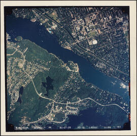
Aerial photograph of Melville Cove and Cowie Hill
Part of Bill Freedman fonds
Part of Bill Freedman fonds
Part of Bill Freedman fonds
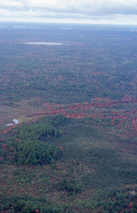
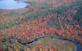
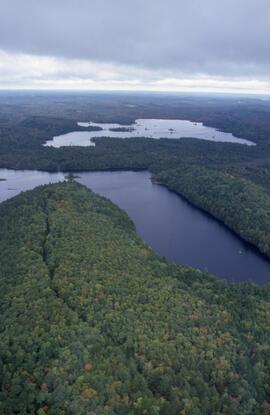
Aerial photograph of Pebbleloggitch Lake, Kejimkujik National Park, Nova Scotia
Part of Bill Freedman fonds
Part of Bill Freedman fonds
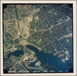
Aerial photograph of Point Pleasant Park and the Northwest Arm
Part of Bill Freedman fonds
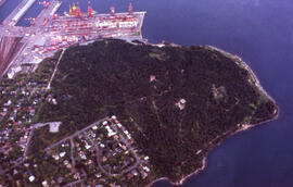
Aerial photograph of Point Pleasant Park and the South End Container Terminal
Part of Bill Freedman fonds
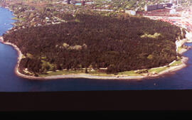
Aerial photograph of Point Pleasant Park, Halifax, Nova Scotia
Part of Bill Freedman fonds
Aerial photograph of Point Pleasant Park, Halifax, Nova Scotia
Part of Bill Freedman fonds
Part of Bill Freedman fonds
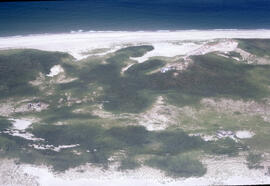
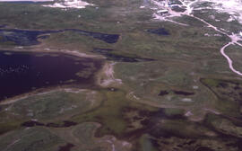
Aerial photograph of Sable Island grasslands
Part of Bill Freedman fonds

Aerial photograph of Sheet Harbor, Nova Scotia
Part of Scott Paper Company fonds
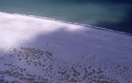
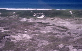
Aerial photograph of sparsely vegetated area of Sable Island
Part of Bill Freedman fonds
Part of Bill Freedman fonds
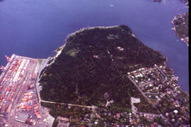
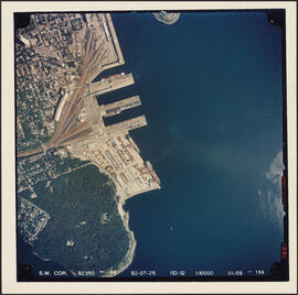
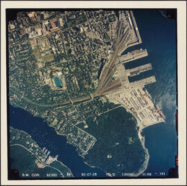
Aerial photograph of the container pier and Point Pleasant Park, Halifax, Nova Scotia
Part of Bill Freedman fonds
Aerial photograph of the grassy plain in Sable Island
Part of Bill Freedman fonds
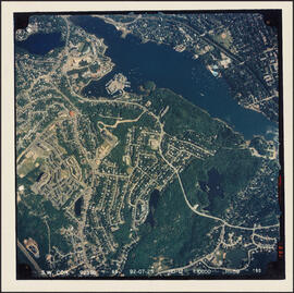
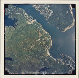
Aerial photograph of the Halifax Harbour approaches south of Point Pleasant Park
Part of Bill Freedman fonds
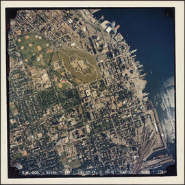
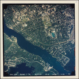
Aerial photograph of the Halifax peninsula
Part of Bill Freedman fonds
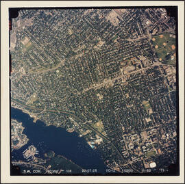
Aerial photograph of the Halifax peninsula
Part of Bill Freedman fonds
Aerial photograph of the Halifax peninsula
Part of Bill Freedman fonds
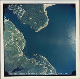
Aerial photograph of the Northwest Arm and Sir Sandford Fleming Park
Part of Bill Freedman fonds
Part of Bill Freedman fonds
Aerial photograph of the station building at the new west lighthouse on Sable Island
Part of Richard Orme Allen fonds
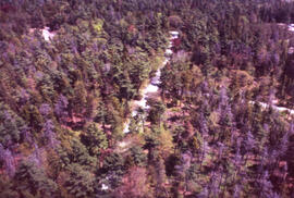
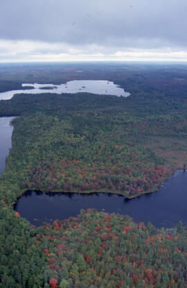
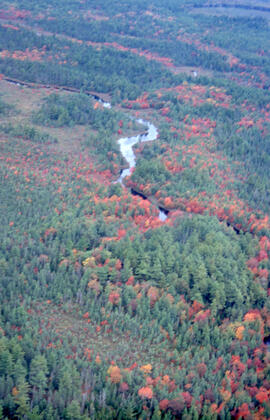
Aerial photograph of Tobeatic Lake, Tobeatic Wilderness Area, southwestern Nova Scotia
Part of Bill Freedman fonds
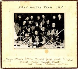
Athletics - photograph of the 1940 Nova Scotia Agricultural College hockey team
Part of Nova Scotia Agricultural College photograph and audio visual collection