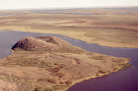
Aerial photograph of the grassy plain in Sable Island
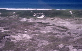
Aerial photograph of the Halifax Harbour approaches south of Point Pleasant Park
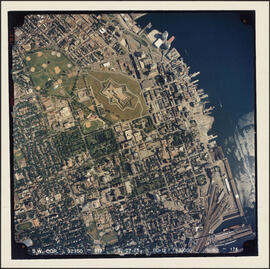
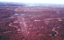
Aerial photograph of the Halifax peninsula
Aerial photograph of the Halifax peninsula
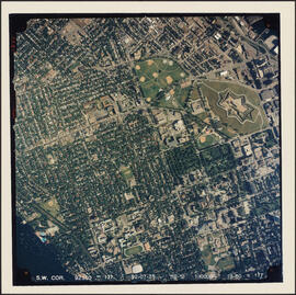
Aerial photograph of the Halifax peninsula
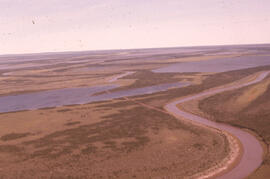
Aerial photograph of the Mackenzie River delta, near Tuktoyaktuk, Northwest Territories
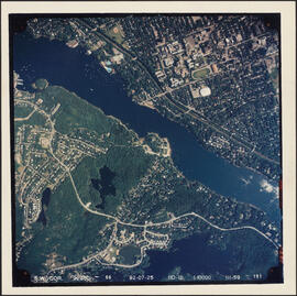
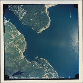
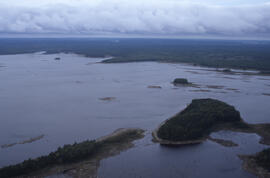
Aerial photograph of the Northwest Arm and Sir Sandford Fleming Park
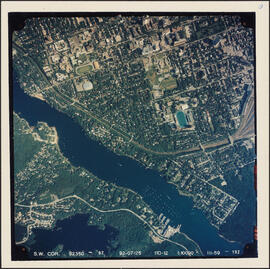
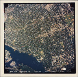
Aerial photograph of the Northwest Arm and the campuses of Dalhousie University and Saint Mary's University
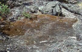
Aerial photograph of the O'Donnell Roast Bed, southwest of Sudbury, Ontario
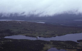
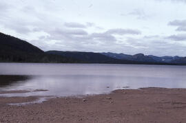
Aerial photograph of Tobeatic Lake, Tobeatic Wilderness Area, southwestern Nova Scotia
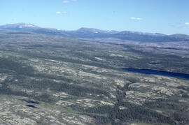
Aerial photograph of tundra at 2500 feet near Postville, Newfoundland and Labrador
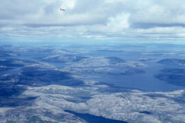
Aerial photograph of upland tundra and the Voisey Bay coastline, Newfoundland and Labrador
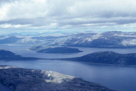
Aerial photograph of upland tundra and the Voisey Bay coastline, Newfoundland and Labrador
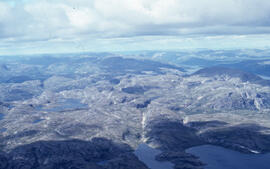
Aerial photograph of upland tundra and the Voisey Bay coastline, Newfoundland and Labrador
Aerial photograph of upland tundra near Voisey's Bay, Newfoundland and Labrador
Aerial photograph showing a collapsing pingo, Tuktoyaktuk Peninsula, Northwest Territories
Aerial photograph showing Black spruce (Picea mariana) woodlands, near Postville, Newfoundland and Labrador
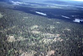
Aerial photograph showing the boundary between an Irving forest plantation and Fundy National Park
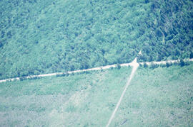
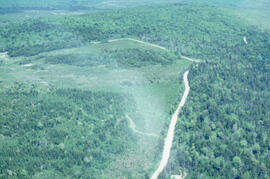
Aerial photograph showing the Fundy National Park boundary
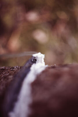
Close-up photograph of researchers conducting stemflow measurements at an unidentified central Nova Scotian site
Photograph depicting glacial striation near Postville, Newfoundland and Labrador
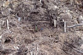
Photograph depicting Streptomyces caespitosus in a lakeside fen near Postville, Newfoundland and Labrador
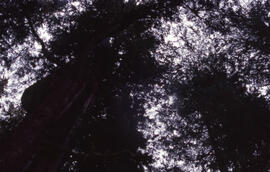
Photograph looking up at the Acadian forest canopy in the Tobeatic Wilderness Area, southwestern Nova Scotia
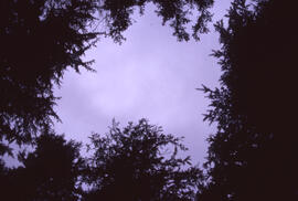
Photograph looking up through the Acadian forest canopy at a cloudy sky in the Tobeatic Wilderness Area, southwestern Nova Scotia
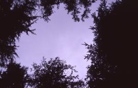
Photograph looking up through the Acadian forest canopy at a cloudy sky in the Tobeatic Wilderness Area, southwestern Nova Scotia
Photograph near the mouth of the Fraser River as it empties into Voisey's Bay, Newfoundland and Labrador
Photograph of 1-year-old Spruce seedlings in the Irving Black Brook District, northwestern New Brunswick
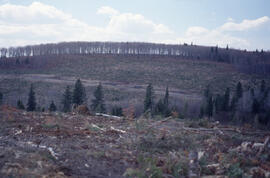
Photograph of a 3 or 4 year planted hillside stand, Irving Black Brook District, northwestern New Brunswick

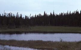
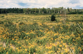
Photograph of a basin bog near Postville, Newfoundland and Labrador
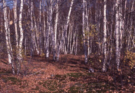
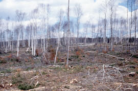
Photograph of a birch transition area near Sudbury, Ontario
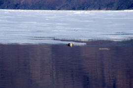
Photograph of a bird near melting lake ice in the Tobeatic Wilderness Area, southwestern Nova Scotia
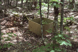
Photograph of a box on a forest floor measuring litterfall at an unidentified central Nova Scotian site
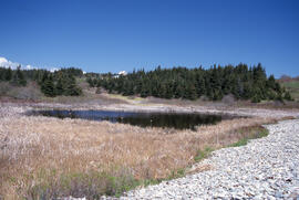
Photograph of a brackish pond at Hirtle's Beach along the Gaff Point trail, near Kingsburg, Nova Scotia
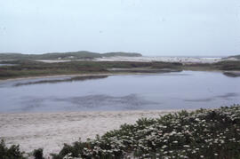
Photograph of a brackish pond located near Lifesaving Station Number 3 on Sable Island
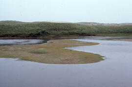
Photograph of a brackish pond near Lifesaving Station Number 3 on Sable Island
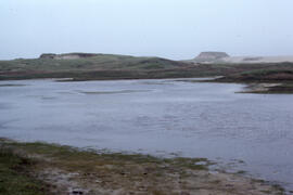
Photograph of a brackish pond near Lifesaving Station Number 3 on Sable Island
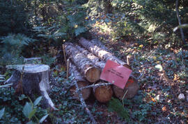
Photograph of a bundle of bait logs to attract Tetropium fuscum (Brown spruce longhorn beetle), Point Pleasant Park, Halifax, Nova Scotia
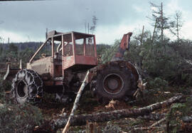
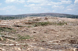
Photograph of a cable skidder near Corner Book, Newfoundland
Photograph of a Christmas tree growing lot, Lunenburg County, Nova Scotia
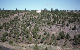
Photograph of a Christmas tree growing lot, Lunenburg County, Nova Scotia

Photograph of a Christmas tree growing lot, Lunenburg County, Nova Scotia
Photograph of a Christmas tree growing lot, Lunenburg County, Nova Scotia
Photograph of a clump of red maple after first Glyphosate spray, Antrim site, Halifax County, Nova Scotia
Photograph of a common haircap moss (Polytricum commune) mat near the Richard Lake site, near Sudbury, Ontario
Photograph of a conifer site prepared for crushing in the Irving Black Brook District, northwestern New Brunswick
Photograph of a conifer site prepared for crushing in the Irving Black Brook District, northwestern New Brunswick
Photograph of a control area at the Little River Lake site, Kings County, Nova Scotia
Photograph of a control area at the Little River Lake site, Kings County, Nova Scotia
Photograph of a control site about 30 kilometres from mining operations near Sudbury, Ontario
Photograph of a controlled spill at the Bear Island site, near Norman Wells, Northwest Territories