Showing 721 results
Archival Description721 results with digital objects Show results with digital objects

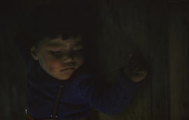
Photograph of a boy holding a carving in Cape Dorset, Northwest Territories
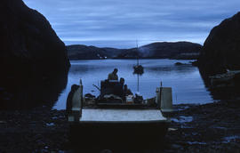
Photograph of a boat on the shore in Port Burwell, Northwest Territories

Photograph of a boat called the Joan Ryan sitting on the shore in Fort Chimo, Quebec

Photograph of a baby with a pink hat
Photograph of a baby in a blue sweater sleeping
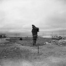
Double exposure photograph of a man carrying a boards in northern Quebec

Double exposure photograph of a group of small houses in northern Quebec
Aerial photograph showing a collapsing pingo, Tuktoyaktuk Peninsula, Northwest Territories
Aerial photograph of upland tundra near Voisey's Bay, Newfoundland and Labrador
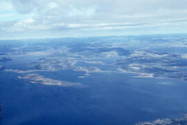
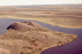
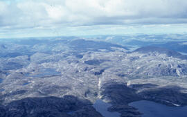
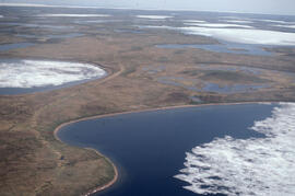
Aerial photograph of upland tundra and the Voisey Bay coastline, Newfoundland and Labrador
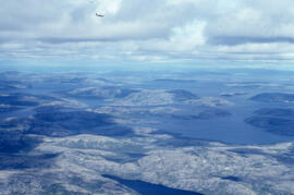
Aerial photograph of upland tundra and the Voisey Bay coastline, Newfoundland and Labrador
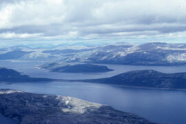
Aerial photograph of upland tundra and the Voisey Bay coastline, Newfoundland and Labrador
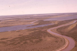
Aerial photograph of the Mackenzie River delta, near Tuktoyaktuk, Northwest Territories
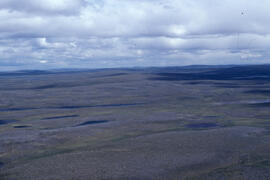
Aerial photograph of the flat tundra of the upland plateau near Voisey's Bay, Newfoundland and Labrador
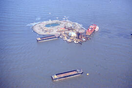
Aerial photograph of Immerk artificial island, Mackenzie Bay, Northwest Territories
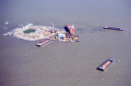
Aerial photograph of Immerk artificial island, Mackenzie Bay, Northwest Territories
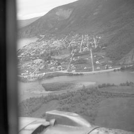
Aerial photograph of Dawson City, Yukon
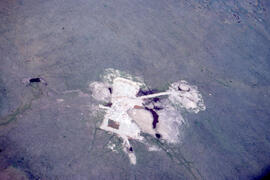
Aerial photograph of an old oil rig drilling site, Mackenzie River delta, Northwest Territories
Aerial photograph of a young pingo on the Tuktoyaktuk Peninsula

Aerial photograph of a mountain near Dawson City, Yukon
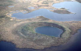
Aerial photograph of a collapsed pingo on the Tuktoyaktuk Peninsula, Northwest Territories
Results 701 to 721 of 721