Transparency map of continental shelf off Nova Scotia and Sable Island
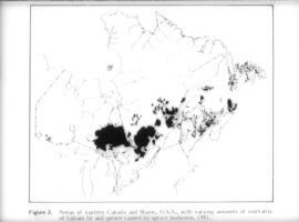
Transparency map showing areas of spruce budworm infestation in eastern Canada, 1981
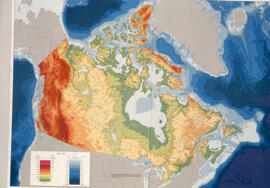
Transparency relief map of Canada
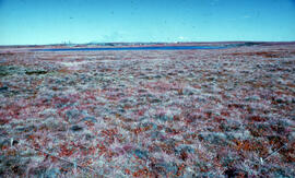
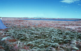
Transparency relief map of Sable Island
Transparency relief map of Sable Island
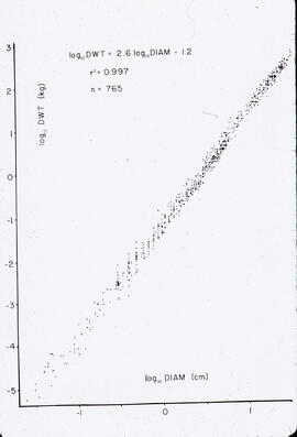
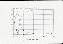
Transparency showing above-ground biomass growth versus the age of a stand of trees
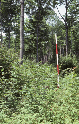
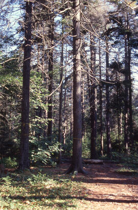
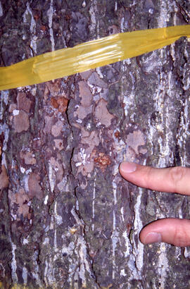
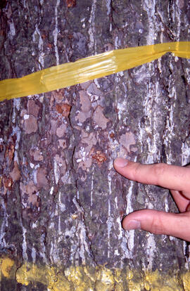
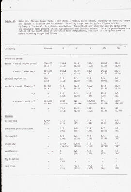
Transparency showing biomass measurements for an ENFOR study of standing crops and fluxes at Site H8, a stand of sugar maple (Acer saccharum), red maple (Acer rubrum), and yellow birch (Betula alleghaniensis) at an unidentified central Nova Scotian location
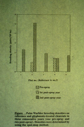
Transparency showing breeding density of palm warbler in clearcut regeneration, post-glyphosate spraying, Riverside site, central Nova Scotia
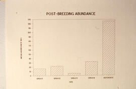
Transparency showing post breeding season abundance after several sprays, Riverside site, central Nova Scotia
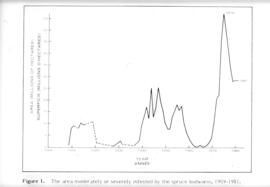
Transparency showing the area severely infested by the spruce budworm 1909-1981 (in millions of hectares)
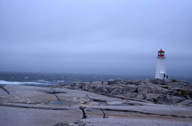
Wide-angle photograph of five unidentified persons standing on the rocks near Peggys Cove Lighthouse