Print preview Close
Showing 983 results
Archival Description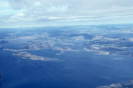
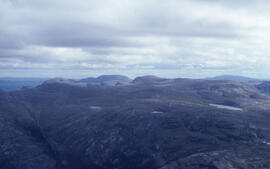
Aerial photograph of upland tundra and the Voisey Bay coastline, Newfoundland and Labrador
Aerial photograph of upland tundra and the Voisey Bay coastline, Newfoundland and Labrador
Aerial photograph of upland tundra and the Voisey Bay coastline, Newfoundland and Labrador
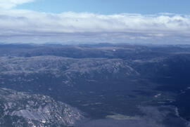
Aerial photograph of tundra at 2500 feet near Postville, Newfoundland and Labrador
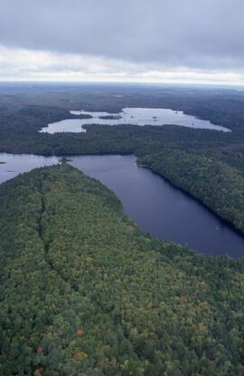
Aerial photograph of Tobeatic Lake, Tobeatic Wilderness Area, southwestern Nova Scotia
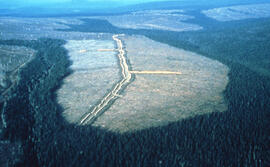
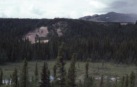
Aerial photograph of the O'Donnell Roast Bed, southwest of Sudbury, Ontario
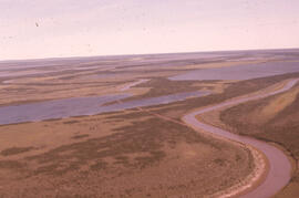
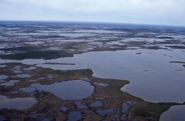
Aerial photograph of the Mackenzie River delta, near Tuktoyaktuk, Northwest Territories
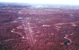
Aerial photograph of the Fundy National Park boundary
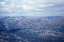
Aerial photograph of the Fraser River canyon, near Voisey's Bay, Newfoundland and Labrador
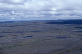
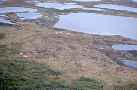
Aerial photograph of the flat tundra of the upland plateau near Voisey's Bay, Newfoundland and Labrador
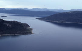
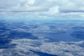
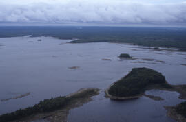
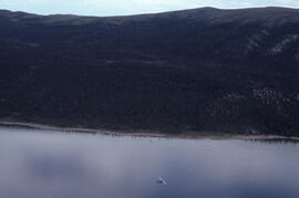
Aerial photograph of the coastline around Voisey's Bay, Newfoundland and Labrador
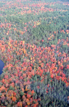
Aerial photograph of the autumnal Acadian forest in the Tobeatic Wilderness Area, southwestern Nova Scotia
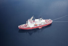
Aerial photograph of the accommodation ship Franklin, Anaktalak Bay, near Voisey's Bay, Newfoundland and Labrador
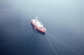
Aerial photograph of the accommodation ship Franklin in Voisey's Bay, Newfoundland and Labrador
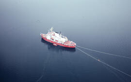
Aerial photograph of the accommodation ship Franklin in Voisey's Bay, Newfoundland and Labrador
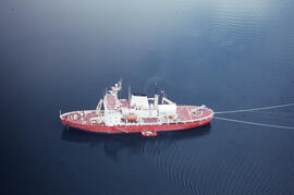
Aerial photograph of the accommodation ship Franklin in Voisey's Bay, Newfoundland and Labrador
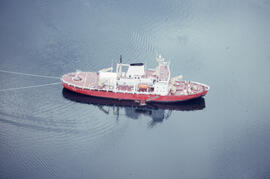
Aerial photograph of the accommodation ship Franklin in Voisey's Bay, Newfoundland and Labrador
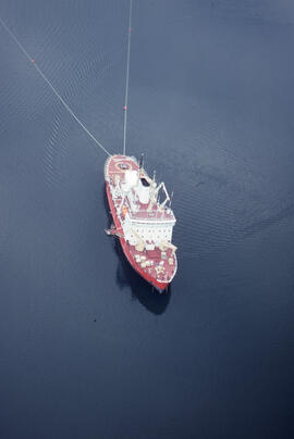
Aerial photograph of the accommodation ship Franklin in Voisey's Bay, Newfoundland and Labrador
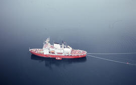
Aerial photograph of the accommodation ship Franklin in Voisey's Bay, Newfoundland and Labrador
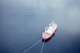
Aerial photograph of the accommodation ship Franklin in Voisey's Bay, Newfoundland and Labrador
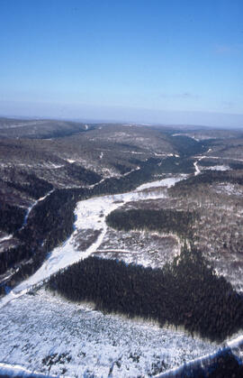
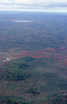
Aerial photograph of seven years of regeneration at a Black spruce (Picea mariana) burn site, near Postville, Newfoundland and Labrador
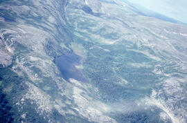
Aerial photograph of ponds on the Great Northern Peninsula, Newfoundland and Labrador
Aerial photograph of ponds on the Great Northern Peninsula, Newfoundland and Labrador
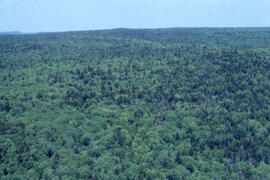
Aerial photograph of mixed Acadian forest near two lakes in the Tobeatic Wilderness Area, southwestern Nova Scotia
Aerial photograph of mixed Acadian forest near two lakes in the Tobeatic Wilderness Area, southwestern Nova Scotia
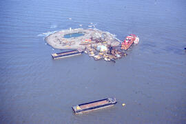
Aerial photograph of Immerk artificial island, Mackenzie Bay, Northwest Territories
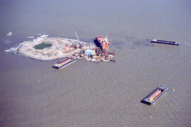
Aerial photograph of Immerk artificial island, Mackenzie Bay, Northwest Territories
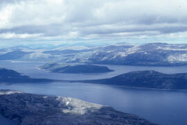
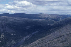
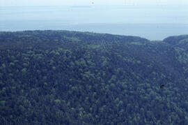
Aerial photograph of headlands and landscape around Voisey's Bay, Newfoundland and Labrador
Aerial photograph of headlands and landscape around Voisey's Bay, Newfoundland and Labrador
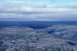
Aerial photograph of headlands and landscape around Voisey's Bay, Newfoundland and Labrador
Aerial photograph of headlands and landscape around Voisey's Bay, Newfoundland and Labrador
Aerial photograph of headlands and landscape around Voisey's Bay, Newfoundland and Labrador
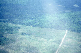
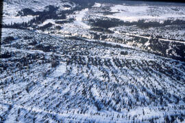
Aerial photograph of forestry cut overs in northern New Brunswick
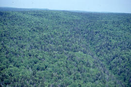
Aerial photograph of dense natural forest near Fundy National Park, New Brunswick
Aerial photograph of dense natural forest near Fundy National Park, New Brunswick
Aerial photograph of dense natural forest near Fundy National Park, New Brunswick
Aerial photograph of dense forested landscape around Voisey's Bay, Newfoundland and Labrador
Aerial photograph of clear cuts near Nepisiguit River, northern New Brunswick
Aerial photograph of clear cuts in nothern New Brunswick
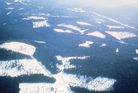
Aerial photograph of clear cuts in a deer wintering area, northern New Brunswick
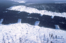
Aerial photograph of clear cuts and strip cuts in a deer wintering area, northern New Brunswick
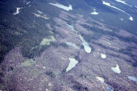
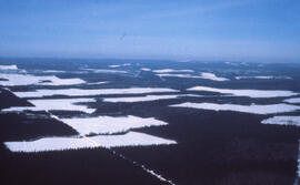
Aerial photograph of clear cuts and cutovers in northern New Brunswick
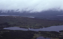
Aerial photograph of basin fenland near Voisey's Bay, Newfoundland and Labrador
Aerial photograph of autumnal mixed-growth forest in the Tobeatic Wilderness Area, southwestern Nova Scotia
Aerial photograph of autumnal mixed-growth forest in the Tobeatic Wilderness Area, southwestern Nova Scotia
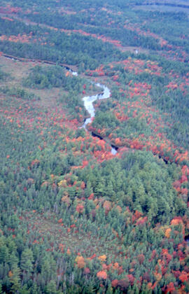
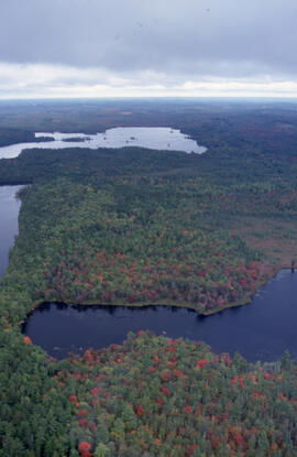
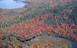
Aerial photograph of autumnal Acadian forest near a river in the Tobeatic Wilderness Area, southwestern Nova Scotia
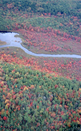
Aerial photograph of autumnal Acadian forest in the Tobeatic Wilderness Area, southwestern Nova Scotia
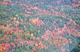
Aerial photograph of autumnal Acadian forest in the Tobeatic Wilderness Area, southwestern Nova Scotia
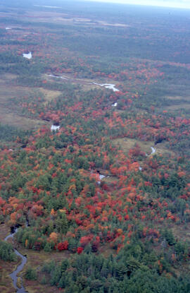
Aerial photograph of autumnal Acadian forest in the Tobeatic Wilderness Area, southwestern Nova Scotia
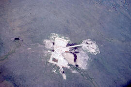
Aerial photograph of an old oil rig drilling site, Mackenzie River delta, Northwest Territories
Results 901 to 950 of 983