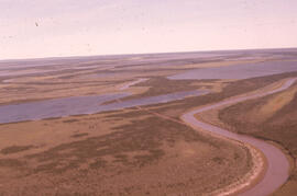
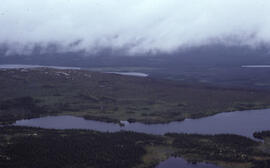
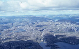
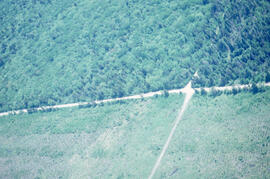
Aerial photograph of the Mackenzie River delta, near Tuktoyaktuk, Northwest Territories
- MS-2-789, Box 11, Folder 19, Item 8
- Item
- August 1974
Part of Bill Freedman fonds
15682 results with digital objects Show results with digital objects
Aerial photograph of the Mackenzie River delta, near Tuktoyaktuk, Northwest Territories
Part of Bill Freedman fonds
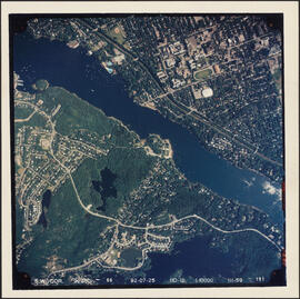
Aerial photograph of the Northwest Arm and Sir Sandford Fleming Park
Part of Bill Freedman fonds
Part of Bill Freedman fonds
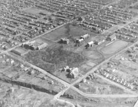
Aerial photograph of the O'Donnell Roast Bed, southwest of Sudbury, Ontario
Part of Bill Freedman fonds
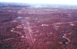
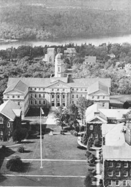
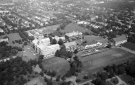
Aerial photograph of the proposed site of the Dalplex before construction
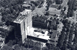
Aerial photograph of the Sir Charles Tupper Medical Building under construction
Wamboldt-Waterfield Photography Limited
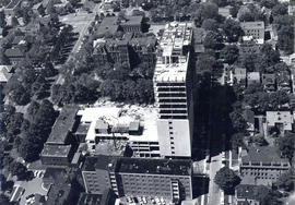
Aerial photograph of the Sir Charles Tupper Medical Building under construction
Wamboldt-Waterfield Photography Limited
Aerial photograph of the station building at the new west lighthouse on Sable Island
Part of Richard Orme Allen fonds
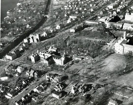
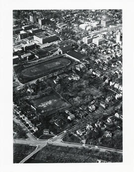
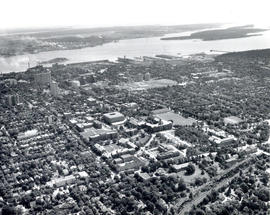
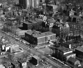
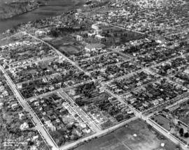
Aerial photograph of the Studley campus
Atlantic Air Survey Company Ltd.

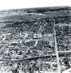
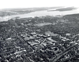
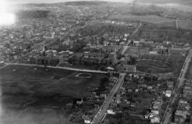
Aerial photograph of the Studley campus
Atlantic Aviation Limited, Photographic Division
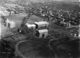
Aerial photograph of the Studley campus
Atlantic Air Survey Company Ltd.
Aerial photograph of the Studley campus
Atlantic Air Survey Company Ltd.

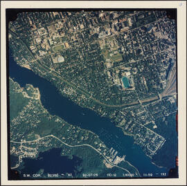
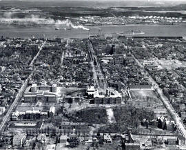
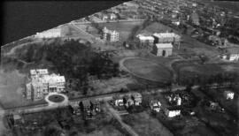
Aerial photograph of the University of King's College campus and the Northwest Arm
Field, D. B.
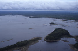
Aerial photograph of Tobeatic Lake, Tobeatic Wilderness Area, southwestern Nova Scotia
Part of Bill Freedman fonds
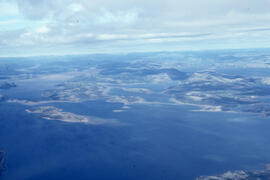
Aerial photograph of tundra at 2500 feet near Postville, Newfoundland and Labrador
Part of Bill Freedman fonds
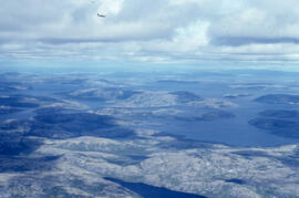
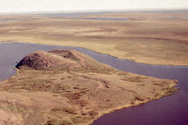
Aerial photograph of upland tundra and the Voisey Bay coastline, Newfoundland and Labrador
Part of Bill Freedman fonds
Aerial photograph of upland tundra and the Voisey Bay coastline, Newfoundland and Labrador
Part of Bill Freedman fonds
Aerial photograph of upland tundra and the Voisey Bay coastline, Newfoundland and Labrador
Part of Bill Freedman fonds
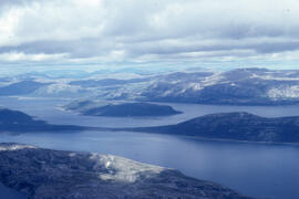
Aerial photograph of upland tundra near Voisey's Bay, Newfoundland and Labrador
Part of Bill Freedman fonds
Aerial photograph showing a collapsing pingo, Tuktoyaktuk Peninsula, Northwest Territories
Part of Bill Freedman fonds
Part of Bill Freedman fonds
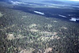
Aerial photograph showing the boundary between an Irving forest plantation and Fundy National Park
Part of Bill Freedman fonds
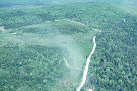
Aerial photograph showing the Fundy National Park boundary
Part of Bill Freedman fonds
Aerial photographs of Dalhousie University campus
Aerial photographs of Dalhousie University's Studley and Carleton campuses
Aerial photographs of Dalhousie University's Studley Campus
Aerial photographs of North End Halifax
Bob Brooks Illustrative Photography
Part of imX Communications Inc. fonds
Aerial view of Dalhousie University campus looking northeast
Aerial view of Dalhousie University campus looking northeast
Aerial view of the Henry Hicks Arts & Administration Building
Carlos

Aerial views of Carleton campus

Aerial views of Carleton campus
Saunders, D. W.
Aerial views of Carleton campus
Halifax Photo Servicec Ltd., Harry A Cochrane
Aerial views of Carleton campus
Saunders, D. W.
Aerial views of Dalhousie University campus
Aerial views of Studley campus
Saunders, D. W.
Aerial views of Studley campus
Saunders, D. W.
Aerial views of Studley campus
Department of National Defence
Aerial views of Studley campus
Aerial views of Studley campus
Affirm United flyers and reference materials
Part of Alan (Al) Roy Stewart fonds
Part of CKDU Radio fonds
Part of CKDU Radio fonds
Africa will give the words : oral tradition in Africa
Part of CKDU Radio fonds
Africa will give the words : oral tradition in Africa
Part of CKDU Radio fonds
Part of Joy O'Brien fonds
African literature : part 1 of 2
Part of CKDU Radio fonds