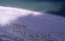
Aerial photograph of sparsely vegetated area of Sable Island
- MS-2-789, Box 12, Folder 10, Item 21
- Item
- 1982
Part of Bill Freedman fonds
Aerial photograph of sparsely vegetated area of Sable Island
Part of Bill Freedman fonds
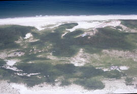
Aerial photograph of Sable Island grasslands
Part of Bill Freedman fonds
Part of Bill Freedman fonds
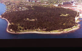
Aerial photograph of Point Pleasant Park, Halifax, Nova Scotia
Part of Bill Freedman fonds
Aerial photograph of Point Pleasant Park, Halifax, Nova Scotia
Part of Bill Freedman fonds
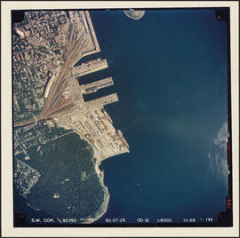
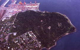
Aerial photograph of Point Pleasant Park and the South End Container Terminal
Part of Bill Freedman fonds
Aerial photograph of Point Pleasant Park and the Northwest Arm
Part of Bill Freedman fonds
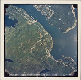
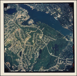
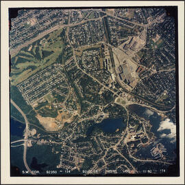
Aerial photograph of Melville Cove and Cowie Hill
Part of Bill Freedman fonds
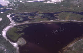
Aerial photograph of freshwater ponds near Main Station on Sable Island
Part of Bill Freedman fonds
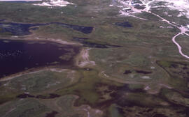
Aerial photograph of freshwater ponds near Main Station on Sable Island
Part of Bill Freedman fonds
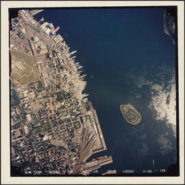
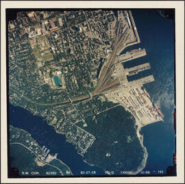
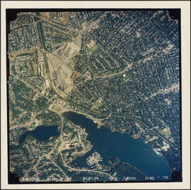
Aerial photograph of downtown Halifax and Halifax Harbour
Part of Bill Freedman fonds
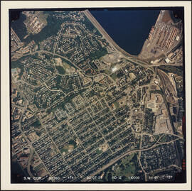
Aerial photograph of Cowie Hill
Part of Bill Freedman fonds
Aerial photograph of communities surrounding the Armdale traffic circle
Part of Bill Freedman fonds
Aerial photograph of communities surrounding the Armdale traffic circle
Part of Bill Freedman fonds
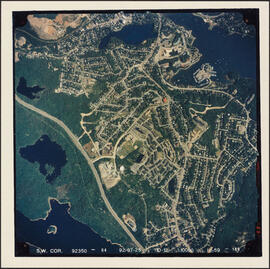
Aerial photograph of Clayton Park, Beechwood Park, and Fairview
Part of Bill Freedman fonds
Aerial photograph of Clayton Park and Fairview
Part of Bill Freedman fonds

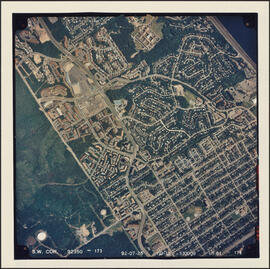
Aerial photograph of Clayton Park and Bayers Lake Industrial Park
Part of Bill Freedman fonds
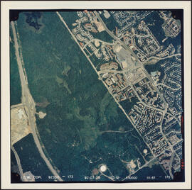
Aerial photograph of Clayton Park and Bayers Lake Industrial Park
Part of Bill Freedman fonds
Part of Bill Freedman fonds