Showing 119 results
Archival Description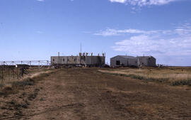
Photograph of an abandoned DEW Line site (now a reindeer herding station) at Atkinson Point, Tuktoyaktuk Peninsula, Northwest Territories
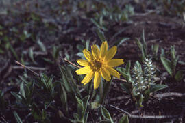
Photograph of Alpine arnica (Arnica alpina) near Tuktoyaktuk, Northwest Territories
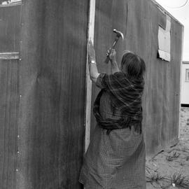
Photograph of Alicie Berthé hammering a nail into her house in Fort Chimo, Quebec
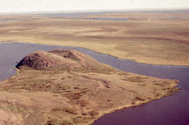
Photograph of a view from the top of Split Pingo, near Tuktoyaktuk, Northwest Territories
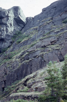
Photograph of a steep cliff face with hardy tundra plants, near Voisey's Bay, Newfoundland and Labrador
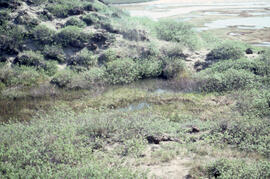
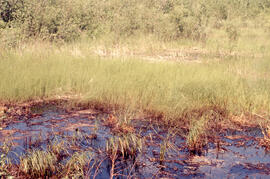
Photograph of a small meltwater pond on top of Split Pingo near Tuktoyaktuk, Northwest Territories
Photograph of a controlled spill at the Bear Island site, near Norman Wells, Northwest Territories
Aerial photograph showing a collapsing pingo, Tuktoyaktuk Peninsula, Northwest Territories
Aerial photograph of upland tundra near Voisey's Bay, Newfoundland and Labrador
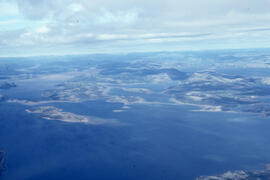
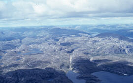
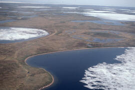
Aerial photograph of upland tundra and the Voisey Bay coastline, Newfoundland and Labrador
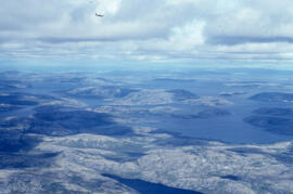
Aerial photograph of upland tundra and the Voisey Bay coastline, Newfoundland and Labrador
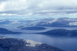
Aerial photograph of upland tundra and the Voisey Bay coastline, Newfoundland and Labrador
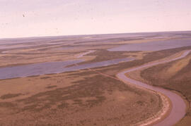
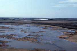
Aerial photograph of the Mackenzie River delta, near Tuktoyaktuk, Northwest Territories
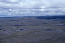
Aerial photograph of the flat tundra of the upland plateau near Voisey's Bay, Newfoundland and Labrador
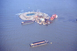
Aerial photograph of Immerk artificial island, Mackenzie Bay, Northwest Territories
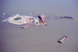
Aerial photograph of Immerk artificial island, Mackenzie Bay, Northwest Territories
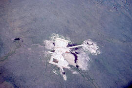
Aerial photograph of an old oil rig drilling site, Mackenzie River delta, Northwest Territories
Aerial photograph of a young pingo on the Tuktoyaktuk Peninsula
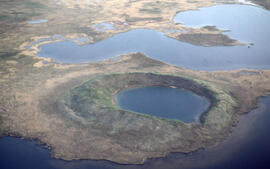
Aerial photograph of a collapsed pingo on the Tuktoyaktuk Peninsula, Northwest Territories
Results 101 to 119 of 119
- « Previous
- 1
- 2
- 3