Showing 183 results
Archival Description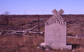
Photograph of a tombstone near the Falconbridge mining site, near Sudbury, Ontario
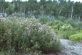
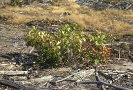
Photograph of a thicket of field thistle (Cirsium arvense) near Sudbury, Ontario
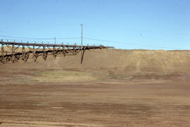
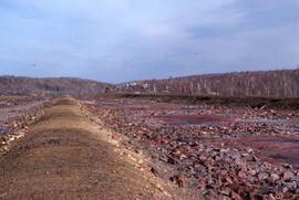
Photograph of a tailings site at Copper Cliff, near Sudbury, Ontario
Photograph of a tailings reclamation site at Copper Cliff, near Sudbury, Ontario
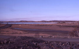
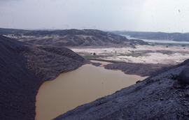
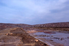
Photograph of a tailings pond at Copper Cliff, near Sudbury, Ontario
Photograph of a tailings area with wooden pipes at the Copper Cliff site, near Sudbury, Ontario
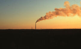
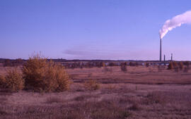
Photograph of a sunset over the Inco Superstack, Copper Cliff site, near Sudbury, Ontario
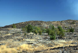
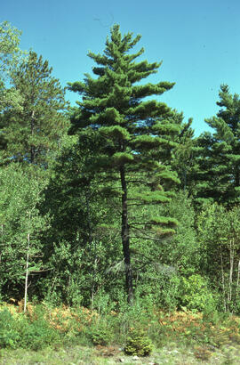
Photograph of a stand of trees 6 kilometres from the Inco Superstack, Copper Cliff site, near Sudbury, Ontario
Photograph of a stand of Red maple (Acer rubrum) at the Coniston site, near Sudbury, Ontario
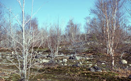
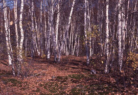
Photograph of a small stand of White birch (Betula papyrifera) three kilometres south of Copper Cliff site, near Sudbury, Ontario
Photograph of a slag heap drainage pond at Coniston, near Sudbury, Ontario
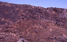
Photograph of a slag heap at the Coniston site, near Sudbury, Ontario
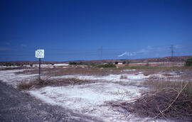
Photograph of a sign prohibiting littering on the shoulder of the access road to the Coniston site, near Sudbury, Ontario
Photograph of a roast bed at the Falconbridge site, near Sudbury, Ontario
Photograph of a roast bed at the Falconbridge site, near Sudbury, Ontario
Photograph of a receding receiving pond showing iron precipitate pollution at Nickel Rim site, near Sudbury, Ontario
Photograph of a marked conservation area at the Falconbridge site, near Sudbury, Ontario
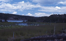
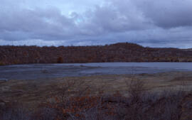
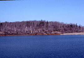
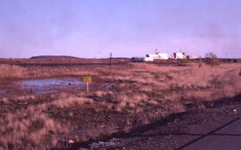
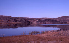
Photograph of a lush wetlands site at Richard Lake, near mining operations around Sudbury, Ontario
Photograph of a juvenile red oak remnant growing at the Copper Cliff site, near Sudbury, Ontario
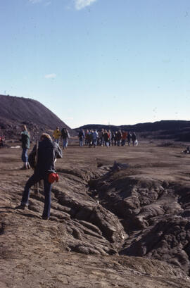
Photograph of a group of researchers standing near slag heaps at the Coniston site, near Sudbury, Ontario
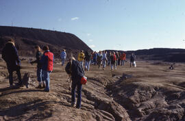
Photograph of a group of researchers standing near slag heaps at the Coniston site, near Sudbury, Ontario
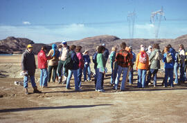
Photograph of a group of researchers standing at the Coniston site, near Sudbury, Ontario
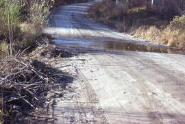
Photograph of a flooded access road to the Burwash mining site, near Sudbury, Ontario
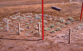
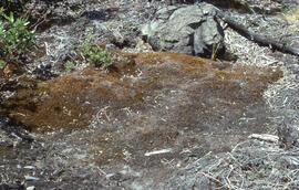
Photograph of a eight months of vegetation regrowth at a small controlled site at Nickel Rim, near Sudbury, Ontario
Photograph of a drainage pond at the Coniston site, near Sudbury, Ontario
Photograph of a denuded hilltop at the Richard Lake site, near Sudbury, Ontario

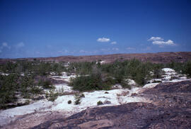
Photograph of a denuded hilltop 4 kilometres from the Copper Cliff site, near Sudbury, Ontario
Photograph of a control site about 30 kilometres from mining operations near Sudbury, Ontario
Photograph of a common haircap moss (Polytricum commune) mat near the Richard Lake site, near Sudbury, Ontario
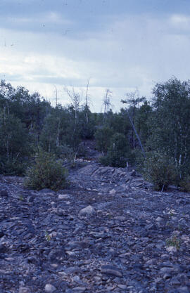
Photograph of a birch transition area near Sudbury, Ontario
![Ernest MacMillan : [autographed photograph]](/uploads/r/dalhousie-university-archives/8/6/f/86f7d315c85079b0474a720a04347215817ac33a2413e068d3f8dc941869ce28/MS-5-2_9_5_access_142.jpg)
Ernest MacMillan : [autographed photograph]
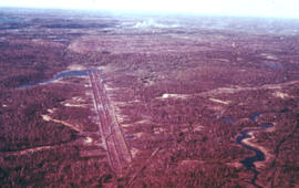
Aerial photograph of the O'Donnell Roast Bed, southwest of Sudbury, Ontario
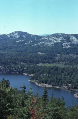
Aerial photograph of a lake in Killarney Provincial Park, near Sudbury, Ontario
Results 151 to 183 of 183
- « Previous
- 1
- 2
- 3
- 4