Showing 222 results

Archival Description
Bill Freedman fonds Halifax Regional Municipality (N.S.) With digital objects
Print preview View:
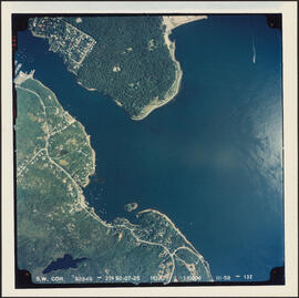
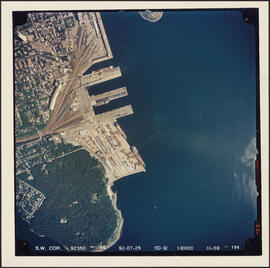
Aerial photograph of the Halifax Harbour approaches south of Point Pleasant Park
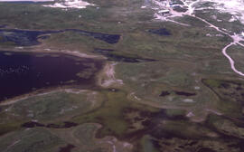
Aerial photograph of the grassy plain in Sable Island
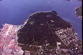
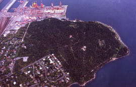
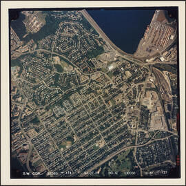
Aerial photograph of the container pier and Point Pleasant Park, Halifax, Nova Scotia
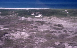
Aerial photograph of sparsely vegetated area of Sable Island
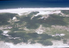
Aerial photograph of Sable Island grasslands
Aerial photograph of Point Pleasant Park, the South End of Halifax, and the South End Container T...
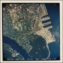
Aerial photograph of Point Pleasant Park, the South End of Halifax, and the South End Container Terminal
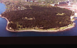
Aerial photograph of Point Pleasant Park, Halifax, Nova Scotia
Aerial photograph of Point Pleasant Park and the South End Container Terminal
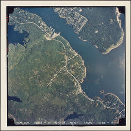
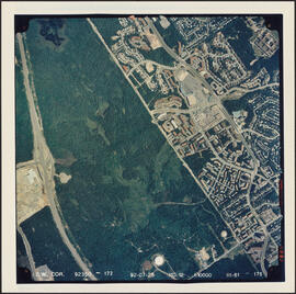
Aerial photograph of Point Pleasant Park and the Northwest Arm
Aerial photograph of Melville Cove and Cowie Hill
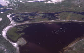
Aerial photograph of freshwater ponds near Main Station on Sable Island
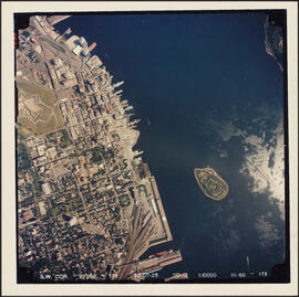
Aerial photograph of downtown Halifax and Halifax Harbour
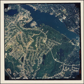
Aerial photograph of Cowie Hill
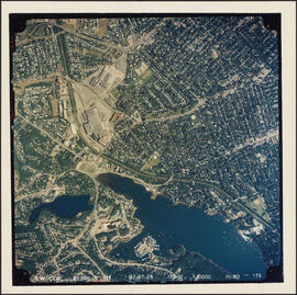
Aerial photograph of communities surrounding the Armdale traffic circle
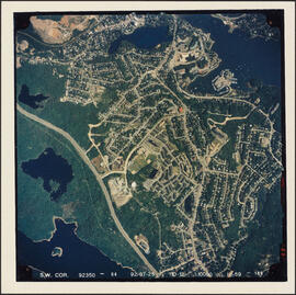
Aerial photograph of Clayton Park, Beechwood Park, and Fairview
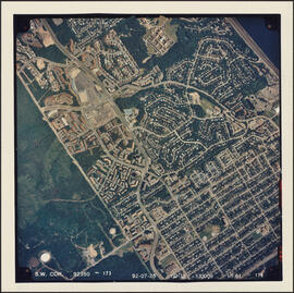
Aerial photograph of Clayton Park and Fairview
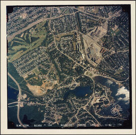
Aerial photograph of Clayton Park and Bayers Lake Industrial Park
Aerial photograph of a stand of spruce budworm damaged trees, Point Pleasant Park, Halifax, Nova ...
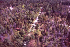
Aerial photograph of a stand of spruce budworm damaged trees, Point Pleasant Park, Halifax, Nova Scotia
Results 201 to 222 of 222