Title and statement of responsibility area
Title proper
David and Marilyn Janigan Map Collection
General material designation
- Cartographic material
Parallel title
Other title information
Title statements of responsibility
Title notes
Level of description
Collection
Repository
Reference code
2011-006
Edition area
Edition statement
Edition statement of responsibility
Class of material specific details area
Statement of scale (cartographic)
Statement of projection (cartographic)
Statement of coordinates (cartographic)
Statement of scale (architectural)
Issuing jurisdiction and denomination (philatelic)
Dates of creation area
Date(s)
Physical description area
Physical description
18 maps and charts
Publisher's series area
Title proper of publisher's series
Parallel titles of publisher's series
Other title information of publisher's series
Statement of responsibility relating to publisher's series
Numbering within publisher's series
Note on publisher's series
Archival description area
Name of creator
(1930-2013)
Biographical history
David Janigan was a pathology professor in Dalhousie's Faculty of Medicine and a collector of maps, a hobby that began in 1962 when he was studying medicine in England. He was married to Marilyn Ann MacLean of Sydney, Nova Scotia, with whom he had one daughter, Karen Janigan. He died in 2013.
Custodial history
The David and Marilyn Janigan Map Collection was donated to Dalhousie University in 2011. Prior to that, it was in the custody of David and Marilyn Janigan. Most maps were purchased by the Janigans from private dealers. In many cases, detailed information about the provenance of each map is available.
Scope and content
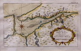
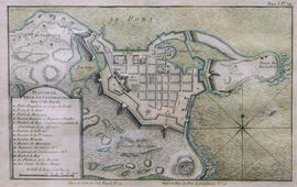
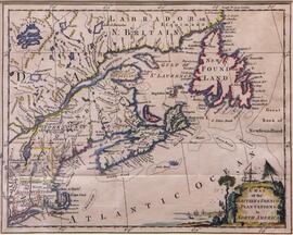
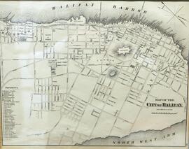
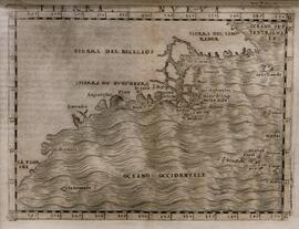
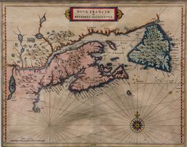
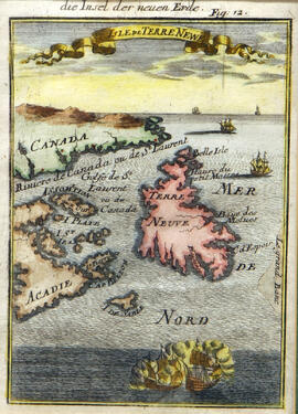
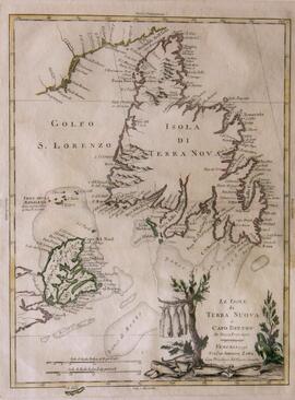
Accession contains 18 historical maps of the Eastern Seaboard and Nova Scotia municipalities.
Notes area
Physical condition
Immediate source of acquisition
Arrangement
Language of material
Script of material
Location of originals
Availability of other formats
Most of the maps have been described in Kenneth Kershaw, Early printed maps of Canada (Ancaster, Ont.: Kershaw Publishing, 1993).
Restrictions on access
There are no access restrictions on these materials. All materials are open for research.
Terms governing use, reproduction, and publication
Materials do not circulate and must be used in the Archives and Special Collections Reading Room. Contact departmental staff for guidance on reproduction.
Finding aids
Generated finding aid
Associated materials
Historical maps of eastern Canada can also be found in the Pullen Map Collection (MS-2-756) and the Edward J. Mullaly Map collection (MS-2-46).
Accruals
Further accruals are not expected.
General note
Preferred citation: [Identification of item], David and Marilyn Janigan Map Collection, 2011-006, Box [box number], Folder [folder number], Dalhousie University Archives, Halifax, Nova Scotia, Canada.