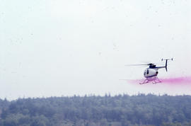
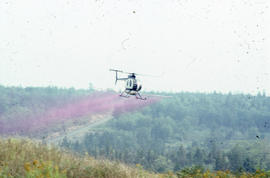
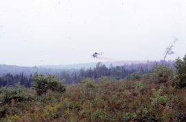
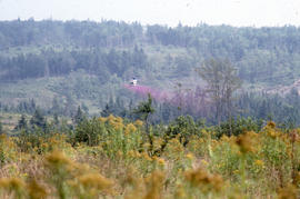
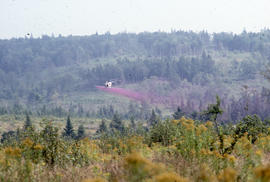
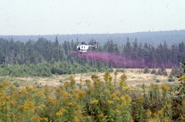
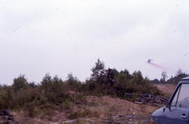
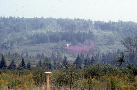
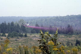
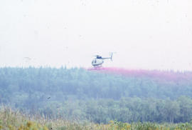
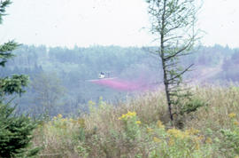
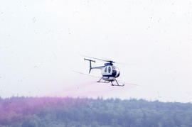
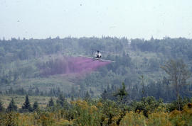
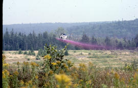
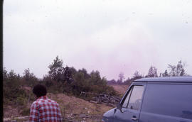
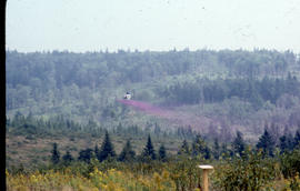
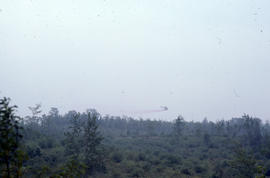
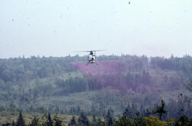
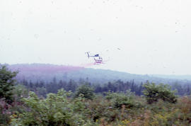
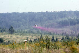
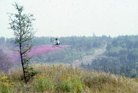
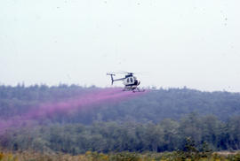
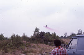
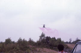
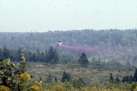
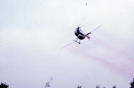
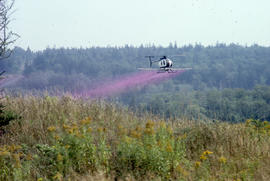
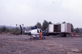
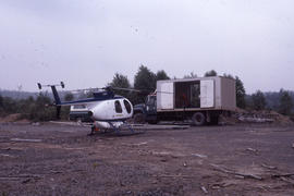
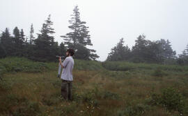
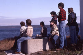
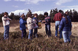
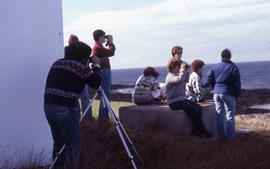
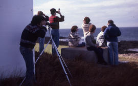
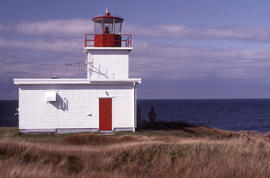
File contains 40 photographs taken by Bill Freedman at Brier Island, Digby County, Nova Scotia, in 1984. Photographs show glyphosate herbicide spraying of forests by helicopter. There are also several photographs of researchers at Northern Light.
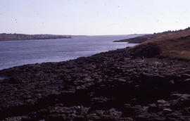
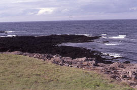
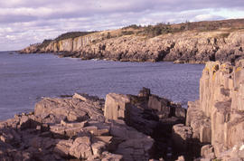
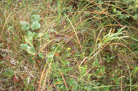
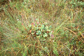
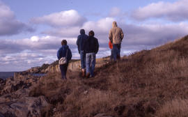
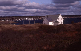
File contains 22 photographs taken by Bill Freedman between 1989 and 2001. Photographs show vegetation at the Murchyville bog (near Moose River, Nova Scotia), a Christmas tree lot in Lunenburg County, the barrens at Polly Cove (Halifax County), and examples of the endangered Geum peckii on Brier Island (Digby County).
File contains 59 photographs taken by Bill Freedman on the waters off Brier Island, Nova Scotia, during three visits from 1990 to 2003. Photographs show humpback whales surfacing and breaching near whale-watching boats.