- MS-2-789, Box 14, Folder 22, Item 8
- Item
- 1991
Part of Bill Freedman fonds
28 results directly related Exclude narrower terms
Part of Bill Freedman fonds
Part of Bill Freedman fonds

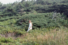
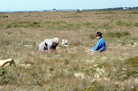
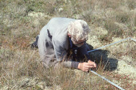
Photograph of Bill Freedman standing in dense shrubbery, East Jordan, Nova Scotia
Part of Bill Freedman fonds
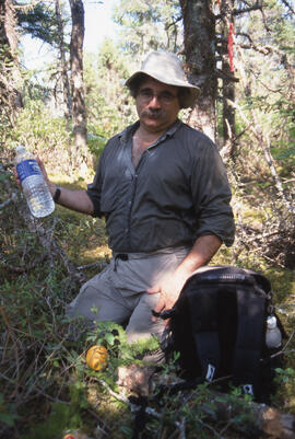
Photograph of Bill Freedman standing in dense undergrowth, East Jordan, Nova Scotia
Part of Bill Freedman fonds
Part of Bill Freedman fonds
Part of Bill Freedman fonds
Part of Bill Freedman fonds
Part of Bill Freedman fonds
Part of Bill Freedman fonds
Part of Bill Freedman fonds
Part of Bill Freedman fonds
Part of Bill Freedman fonds
Part of Bill Freedman fonds
Part of Bill Freedman fonds
Part of Bill Freedman fonds
Part of Bill Freedman fonds

Part of Bill Freedman fonds
Part of Bill Freedman fonds
Part of Bill Freedman fonds
Part of Bill Freedman fonds
Part of Bill Freedman fonds
Part of Bill Freedman fonds
Part of Bill Freedman fonds
Part of Bill Freedman fonds
Part of Bill Freedman fonds
Part of Bill Freedman fonds
Part of Bill Freedman fonds
Part of Bill Freedman fonds
Part of Bill Freedman fonds
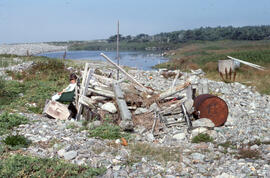
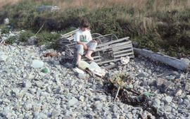
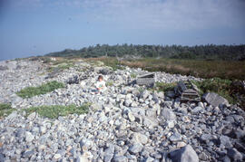
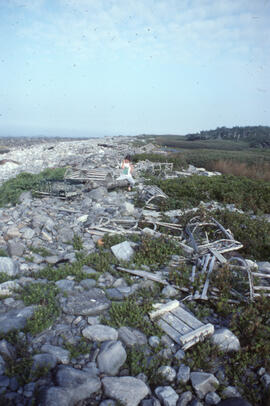
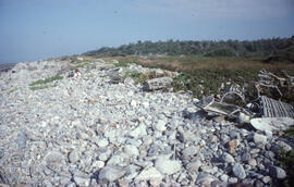
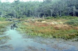
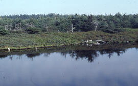
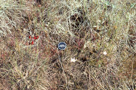
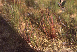
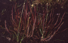
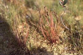
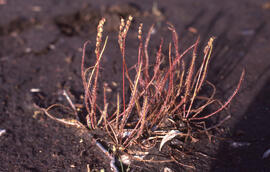
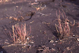
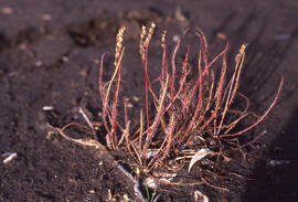
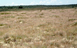
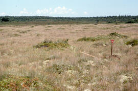
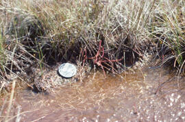
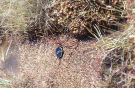
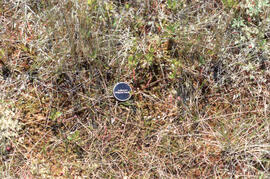
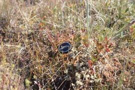
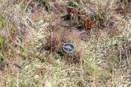
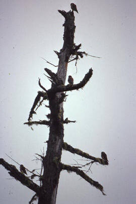
Photographs of vegetation in barrens and bogs of Nova Scotia
Part of Bill Freedman fonds