- MS-2-789, Box 12, Folder 17, Item 129
- Item
- [198-]
Part of Bill Freedman fonds
29 results directly related Exclude narrower terms
Part of Bill Freedman fonds
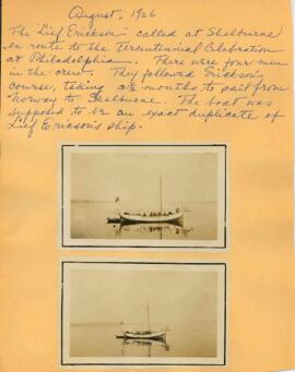
"August, 1926", "Lief Erickson" photographs
Part of Thomas Head Raddall fonds
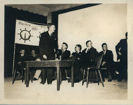
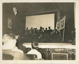
Canadian Fishermen's Union Meeting
Part of Robert Charles (Charlie) Murray Interview Collection
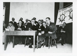
Canadian Fishermen's Union Meeting with Ben MacKenzie, Charlie Murray and Patrick Sullivan
Part of Robert Charles (Charlie) Murray Interview Collection
Canadian Fishermen's Union meeting with Ben MacKenzie, Charlie Murray and Patrick Sullivan
Part of Robert Charles (Charlie) Murray Interview Collection
Part of Thomas Head Raddall fonds
Part of Richard Orme Allen fonds
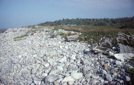
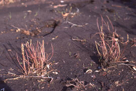
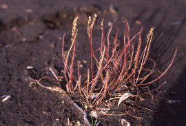
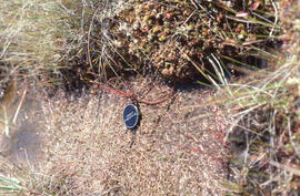
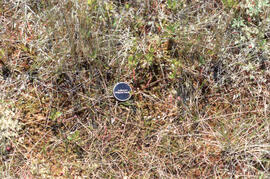
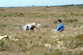
Part of Bill Freedman fonds
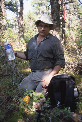
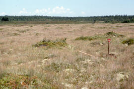
Part of Bill Freedman fonds

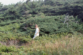
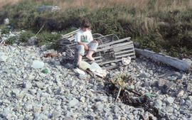
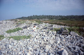
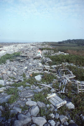
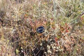
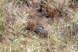
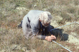
Photograph of Bill Freedman standing in dense shrubbery, East Jordan, Nova Scotia
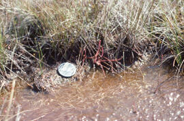
Part of Bill Freedman fonds
Photograph of Bill Freedman standing in dense undergrowth, East Jordan, Nova Scotia
Part of Bill Freedman fonds
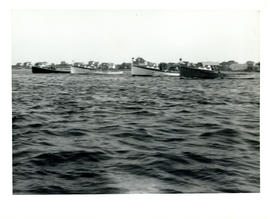
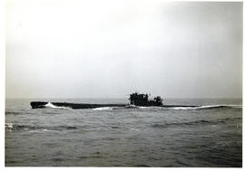
Photograph of four fishing boats aligned in the water near Cape Sable Island
Part of Thomas Head Raddall fonds
Part of Thomas Head Raddall fonds
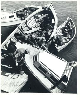
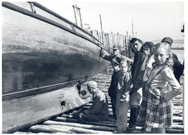
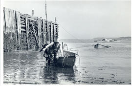
Photograph of lobstermen salvaging a sunken boat at Seal Island, off Cape Sable Island
Part of Thomas Head Raddall fonds
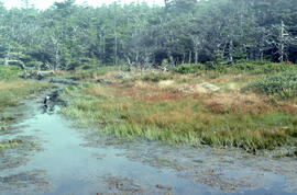
Part of Bill Freedman fonds
Part of Bill Freedman fonds
Part of Bill Freedman fonds
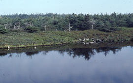
Part of Bill Freedman fonds
Part of Bill Freedman fonds
Part of Bill Freedman fonds
Part of Bill Freedman fonds
Part of Bill Freedman fonds
Part of Bill Freedman fonds
Part of Bill Freedman fonds
Part of Bill Freedman fonds
Part of Bill Freedman fonds

Part of Bill Freedman fonds
Part of Bill Freedman fonds
Part of Thomas Head Raddall fonds
Part of Bill Freedman fonds
Part of Bill Freedman fonds
Part of Bill Freedman fonds
Part of Bill Freedman fonds
Part of Bill Freedman fonds
Part of Bill Freedman fonds
Part of Bill Freedman fonds
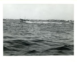
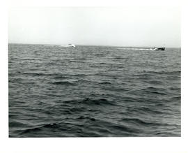
Photograph of two fishing boats racing off Cape Sable Island
Part of Thomas Head Raddall fonds
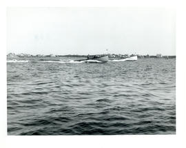
Photograph of two fishing boats sailing off of Cape Sable Island
Part of Thomas Head Raddall fonds
Photograph of two fishing boats sailing on open water near Cape Sable Island
Part of Thomas Head Raddall fonds
Photograph of two men pulling a salvaged boat ashore at Seal Island, off Cape Sable Island
Part of Thomas Head Raddall fonds
Part of Bill Freedman fonds
Part of Bill Freedman fonds
Part of Bill Freedman fonds
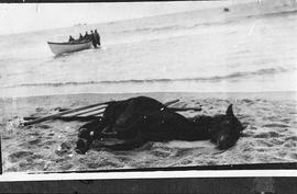
Photographic negative of a horse lying on the beach at Sable Island
Part of Thomas Head Raddall fonds
Part of Bill Freedman fonds
Photographs of Nova Scotia Mass Choir trip to Shelburne
Part of Joy O'Brien fonds
Photographs of the 1939 Lockeport Fishermen's Strike
Part of Robert Charles (Charlie) Murray Interview Collection
Photographs of the Nova Scotia Mass Choir at Gospel Music Festival
Part of Joy O'Brien fonds
File contains photographs of the Nova Scotia Mass Choir performing at the Gospel Music Festival in Shelburne, Nova Scotia.
Photographs feature choir members outside of the Parish of Christ Church Shelburne and The Victory Singers from Weymouth, Nova Scotia.
Photographs of the Nova Scotia Mass Choir on a school tour
Part of Joy O'Brien fonds
Photographs of the Nova Scotia Mass Choir on the set of The Scarlett Letter
Part of Joy O'Brien fonds