Maps

Taxonomy

Code

Scope note(s)

  • Graphic delineations at a set scale, of all or part of the earth or another celestial sphere indicating the relative position of selected artificial and natural features.

Source note(s)

  • US LIbrary of Congress

Display note(s)

Hierarchical terms

Maps

Equivalent terms

Maps

Associated terms

Maps

1 Archival Description results for Maps

1 results directly related Exclude narrower terms

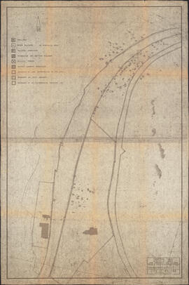
Map of Africville

Item is a map of the Africville Area Land Ownership and Buildings, drawn by P.E.J. on July 26, 1962, for the Halifax City Planning Office, at a scale of 1" = 100'. Verso map also contains an inked list of property numbers, some crossed out and others checked off.